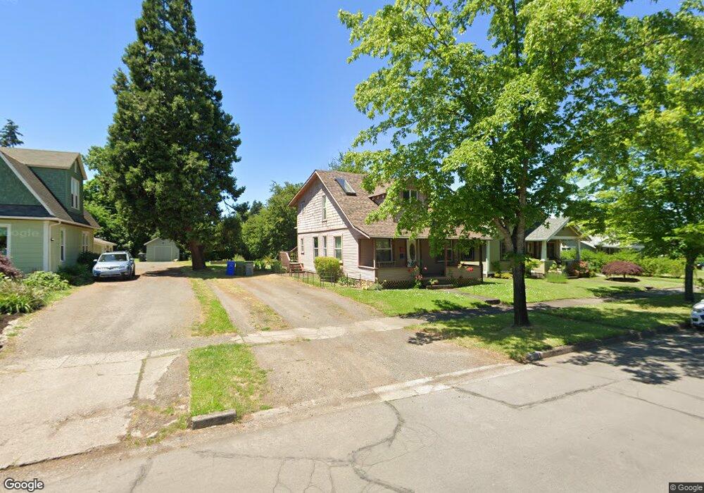
48 N Madison St Unit 1 Eugene, OR 97402
Whiteaker NeighborhoodEstimated Value: $386,828 - $427,000
4
Beds
2
Baths
1,536
Sq Ft
$268/Sq Ft
Est. Value
About This Home
This home is located at 48 N Madison St Unit 1, Eugene, OR 97402 and is currently estimated at $412,207, approximately $268 per square foot. 48 N Madison St Unit 1 is a home located in Lane County with nearby schools including River Road/El Camino del Río Elementary School, Kelly Middle School, and North Eugene High School.
Ownership History
Date
Name
Owned For
Owner Type
Purchase Details
Closed on
Sep 8, 2023
Sold by
Sunderland Laurie
Bought by
Quinn Jesse
Current Estimated Value
Home Financials for this Owner
Home Financials are based on the most recent Mortgage that was taken out on this home.
Original Mortgage
$359,360
Outstanding Balance
$350,961
Interest Rate
6.9%
Mortgage Type
New Conventional
Estimated Equity
$61,246
Purchase Details
Closed on
Oct 31, 2002
Sold by
Clayton Lisa G
Bought by
Crawford Thomas M
Create a Home Valuation Report for This Property
The Home Valuation Report is an in-depth analysis detailing your home's value as well as a comparison with similar homes in the area
Home Values in the Area
Average Home Value in this Area
Purchase History
| Date | Buyer | Sale Price | Title Company |
|---|---|---|---|
| Quinn Jesse | $360,000 | Cascade Title | |
| Crawford Thomas M | $177,000 | Cascade Title Co |
Source: Public Records
Mortgage History
| Date | Status | Borrower | Loan Amount |
|---|---|---|---|
| Open | Quinn Jesse | $359,360 |
Source: Public Records
Tax History
| Year | Tax Paid | Tax Assessment Tax Assessment Total Assessment is a certain percentage of the fair market value that is determined by local assessors to be the total taxable value of land and additions on the property. | Land | Improvement |
|---|---|---|---|---|
| 2025 | $2,685 | $137,792 | -- | -- |
| 2024 | $2,651 | $133,779 | -- | -- |
| 2023 | $2,651 | $129,883 | $0 | $0 |
| 2022 | $2,484 | $126,100 | $0 | $0 |
| 2021 | $2,333 | $122,428 | $0 | $0 |
| 2020 | $2,341 | $118,863 | $0 | $0 |
| 2019 | $2,261 | $115,401 | $0 | $0 |
| 2018 | $2,128 | $108,777 | $0 | $0 |
| 2017 | $2,033 | $108,777 | $0 | $0 |
| 2016 | $1,983 | $105,609 | $0 | $0 |
| 2015 | $1,926 | $102,533 | $0 | $0 |
| 2014 | $1,887 | $99,547 | $0 | $0 |
Source: Public Records
Map
Nearby Homes
- 9 N Monroe St Unit B
- 9 N Monroe St Unit D
- 9 N Monroe St Unit A
- 490 W 4th Ave
- 427 Washington St
- 527 Monroe St
- 461 Blair Blvd
- 561 Madison St
- 561 577 Madison St
- 577 Madison St
- 1030 W 5th Ave
- 5713 Durst St
- 143 Shelton McMurphey Blvd
- 960 W 7th Ave
- 990 W 7th Ave
- 1391 W 5th Ave
- 710 Van Buren St
- 0 W 7th Aly
- 439 Almaden St
- 780 Van Buren St
Your Personal Tour Guide
Ask me questions while you tour the home.