48 Nicholson Dr Woodstock, NH 03262
Estimated Value: $226,000 - $649,000
4
Beds
2
Baths
1,650
Sq Ft
$263/Sq Ft
Est. Value
About This Home
This home is located at 48 Nicholson Dr, Woodstock, NH 03262 and is currently estimated at $433,799, approximately $262 per square foot. 48 Nicholson Dr is a home located in Grafton County with nearby schools including Lin-Wood Public Elementary School, Lin-Wood Public Middle School, and Lin-Wood Public High School.
Ownership History
Date
Name
Owned For
Owner Type
Purchase Details
Closed on
Apr 22, 2020
Sold by
Carney Christine M and Mcdonough Patrick
Bought by
48 Nicholson Drive Llc
Current Estimated Value
Purchase Details
Closed on
Jun 10, 2002
Sold by
Thayer Jay K and Thayer Pauline B
Bought by
Lynch William E and Lynch Rosemary
Home Financials for this Owner
Home Financials are based on the most recent Mortgage that was taken out on this home.
Original Mortgage
$90,800
Interest Rate
6.9%
Create a Home Valuation Report for This Property
The Home Valuation Report is an in-depth analysis detailing your home's value as well as a comparison with similar homes in the area
Home Values in the Area
Average Home Value in this Area
Purchase History
| Date | Buyer | Sale Price | Title Company |
|---|---|---|---|
| 48 Nicholson Drive Llc | $150,000 | None Available | |
| Lynch William E | $113,500 | -- |
Source: Public Records
Mortgage History
| Date | Status | Borrower | Loan Amount |
|---|---|---|---|
| Previous Owner | Lynch William E | $90,800 |
Source: Public Records
Tax History Compared to Growth
Tax History
| Year | Tax Paid | Tax Assessment Tax Assessment Total Assessment is a certain percentage of the fair market value that is determined by local assessors to be the total taxable value of land and additions on the property. | Land | Improvement |
|---|---|---|---|---|
| 2024 | $3,989 | $196,300 | $99,900 | $96,400 |
| 2023 | $3,816 | $196,300 | $99,900 | $96,400 |
| 2022 | $3,608 | $196,300 | $99,900 | $96,400 |
| 2021 | $3,730 | $196,300 | $99,900 | $96,400 |
| 2020 | $3,916 | $196,300 | $99,900 | $96,400 |
| 2019 | $3,156 | $145,500 | $57,400 | $88,100 |
| 2018 | $2,912 | $145,500 | $57,400 | $88,100 |
| 2016 | $2,894 | $145,500 | $57,400 | $88,100 |
| 2015 | $2,754 | $145,500 | $57,400 | $88,100 |
| 2014 | $2,790 | $147,700 | $57,400 | $90,300 |
| 2012 | $2,984 | $166,880 | $55,400 | $111,480 |
Source: Public Records
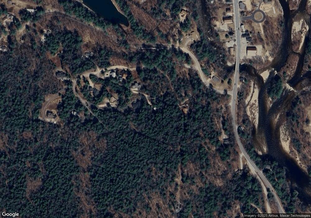
Map
Nearby Homes
- 6 Grandview Dr
- 69 Grandview Dr
- 25 Main St
- 53 Daniel Webster Hwy
- 193 Main St Unit 218
- 57 Main St
- Map 105, Lot 20 Lost River Rd
- 206-011 Lost River Rd
- 80 Parker Ledge Rd
- 56 Kancamagus Hwy
- 10 Bell St
- 20 Crossing Dr Unit 301
- 11 Cascade Dr Unit 288
- 23 Oakes St
- 156 Deer Park Dr Unit 135 A
- 164 Deer Park Dr Unit 173A
- 164 Deer Park Dr Unit 168D
- 164 Deer Park Dr Unit 161D
- 252-254 Lost River Rd
- 17 Ridge Dr A Unit 12
- 67 Upper Grandview Dr
- 57 Grandview Dr
- 0 Nicholson Dr
- 64 Grandview Dr
- 45 Grandview Dr
- 17 Nicholson Dr
- 21 Nicholson Dr
- 29 Nicholson Dr
- 50 Upper Grandview Dr
- 52 Upper Grandview Dr
- 34 Nicholson Dr
- 26 Grandview Dr
- 42 Upper Grandview Rd Unit 13+15 (AKA 14+18)
- 42 Upper Grandview Rd
- 50 Grandview Dr
- 42 Grandview Dr
- 86 Grandview Dr
- 55 Upper Grandview Dr
- 64 Upper Grandview Dr
- 45 Upper Grandview Dr