48 Northern Point Rd Bristol, ME 04539
Estimated Value: $399,775 - $875,000
--
Bed
--
Bath
--
Sq Ft
1.1
Acres
About This Home
This home is located at 48 Northern Point Rd, Bristol, ME 04539 and is currently estimated at $637,388. 48 Northern Point Rd is a home with nearby schools including Bristol Consolidated School.
Ownership History
Date
Name
Owned For
Owner Type
Purchase Details
Closed on
Dec 14, 2017
Sold by
Leeman Heather E
Bought by
Leeman 3Rd Paul F and Leeman Cerina L
Current Estimated Value
Home Financials for this Owner
Home Financials are based on the most recent Mortgage that was taken out on this home.
Original Mortgage
$192,000
Interest Rate
3.94%
Mortgage Type
Purchase Money Mortgage
Create a Home Valuation Report for This Property
The Home Valuation Report is an in-depth analysis detailing your home's value as well as a comparison with similar homes in the area
Home Values in the Area
Average Home Value in this Area
Purchase History
| Date | Buyer | Sale Price | Title Company |
|---|---|---|---|
| Leeman 3Rd Paul F | -- | -- |
Source: Public Records
Mortgage History
| Date | Status | Borrower | Loan Amount |
|---|---|---|---|
| Closed | Leeman 3Rd Paul F | $192,000 |
Source: Public Records
Tax History Compared to Growth
Tax History
| Year | Tax Paid | Tax Assessment Tax Assessment Total Assessment is a certain percentage of the fair market value that is determined by local assessors to be the total taxable value of land and additions on the property. | Land | Improvement |
|---|---|---|---|---|
| 2024 | $2,580 | $289,900 | $126,000 | $163,900 |
| 2023 | $2,305 | $289,900 | $126,000 | $163,900 |
| 2022 | $2,087 | $289,900 | $126,000 | $163,900 |
| 2021 | $2,087 | $289,900 | $126,000 | $163,900 |
| 2020 | $1,179 | $289,900 | $126,000 | $163,900 |
| 2019 | $29,367 | $289,900 | $126,000 | $163,900 |
| 2018 | $1,812 | $289,900 | $126,000 | $163,900 |
| 2017 | $2,194 | $289,900 | $126,000 | $163,900 |
| 2016 | $2,160 | $192,600 | $100,200 | $92,400 |
| 2015 | $1,627 | $192,600 | $100,200 | $92,400 |
| 2014 | $1,522 | $192,600 | $100,200 | $92,400 |
| 2013 | $1,483 | $192,600 | $100,200 | $92,400 |
Source: Public Records
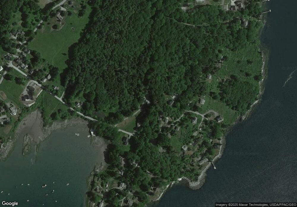
Map
Nearby Homes
- 153 Back Shore Rd
- 31 Viking Way
- 1276 State Route 32
- Lot 009 Reny Rd
- Lot 10.6 Louds Island
- 359 Lower Round Pond Rd
- 146 Lower Round Pond Rd
- 12 Nonesuch Ln
- 17 Eastwood Ct
- 0 Sodom Rd
- Lot 68-11 Shore Rd
- 9 Bearces Hill Rd
- M6l54
- 1212 Bristol Rd
- M6L54 Bristol Rd
- M6L53 Bristol Rd
- Lot 149 Bristol Rd
- 033-1 Bristol Rd
- 272 Keene Neck Rd
- 003-D Lakeview Dr
- 48 Northern Point Rd
- 48 Northern Point Rd
- 2 Quarry Hill Rd
- 53 Northern Point Rd
- 0 Donovan Rd Unit 663511
- 0 Donovan Rd Unit 898990
- 0 Donovan Ln Unit 969016
- 53 No Name Rd
- 21 Quarry Hill Rd
- 3 Donovan Rd
- 41 Quarry Hill Rd
- 65 Northern Point Rd
- 30 Northern Point Rd
- 8 Donovan Rd
- 70 Northern Point Rd
- 24 Northern Pt Rd
- 65 Northern Point Rd
- 70 No Name Rd
- 73 No Name Rd
- 22 Donovan Rd