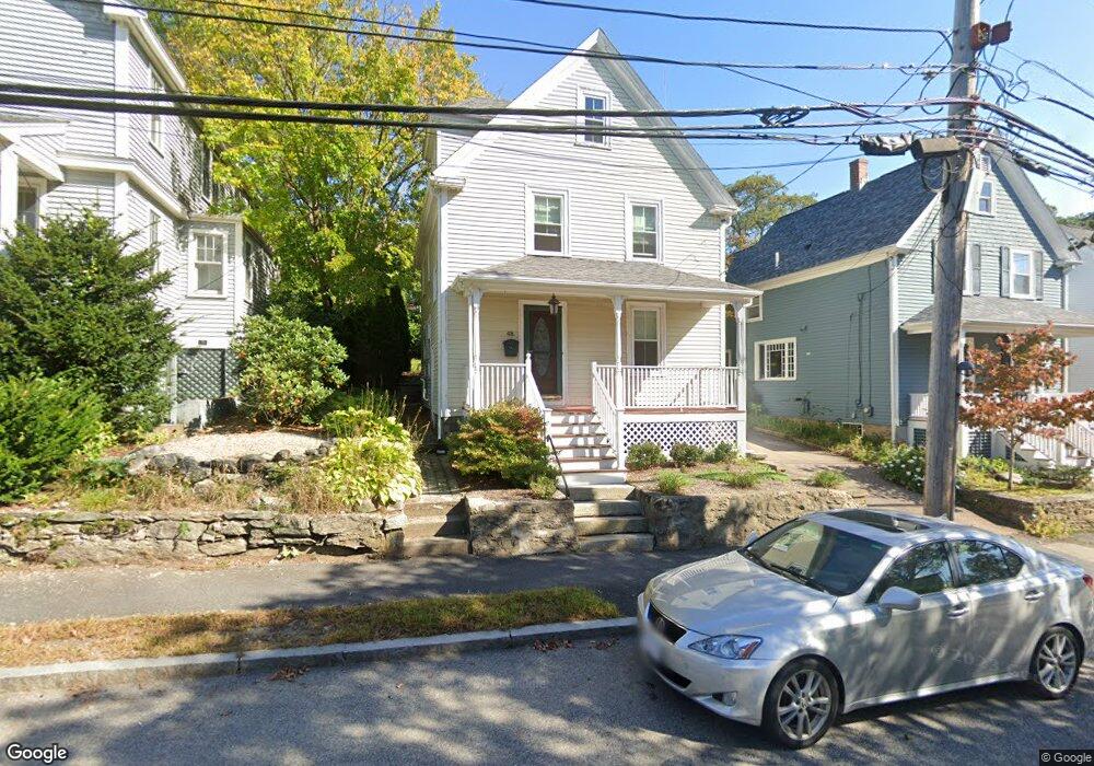
48 Pettee St Newton Upper Falls, MA 02464
Newton Upper Falls NeighborhoodEstimated Value: $842,000 - $965,000
3
Beds
2
Baths
1,259
Sq Ft
$700/Sq Ft
Est. Value
About This Home
This home is located at 48 Pettee St, Newton Upper Falls, MA 02464 and is currently estimated at $881,086, approximately $699 per square foot. 48 Pettee St is a home located in Middlesex County with nearby schools including Angier Elementary School, Zervas Elementary School, and Charles E Brown Middle School.
Ownership History
Date
Name
Owned For
Owner Type
Purchase Details
Closed on
Oct 18, 2000
Sold by
Est Tourse Phyllis P and Tourse Anike L
Bought by
Oneil Michael R and Wagner Charles P
Current Estimated Value
Home Financials for this Owner
Home Financials are based on the most recent Mortgage that was taken out on this home.
Original Mortgage
$306,350
Interest Rate
7.88%
Mortgage Type
Purchase Money Mortgage
Create a Home Valuation Report for This Property
The Home Valuation Report is an in-depth analysis detailing your home's value as well as a comparison with similar homes in the area
Home Values in the Area
Average Home Value in this Area
Purchase History
| Date | Buyer | Sale Price | Title Company |
|---|---|---|---|
| Oneil Michael R | $322,500 | -- |
Source: Public Records
Mortgage History
| Date | Status | Borrower | Loan Amount |
|---|---|---|---|
| Open | Oneil Michael R | $309,000 | |
| Closed | Oneil Michael R | $306,350 |
Source: Public Records
Tax History Compared to Growth
Tax History
| Year | Tax Paid | Tax Assessment Tax Assessment Total Assessment is a certain percentage of the fair market value that is determined by local assessors to be the total taxable value of land and additions on the property. | Land | Improvement |
|---|---|---|---|---|
| 2025 | $6,858 | $699,800 | $0 | $0 |
| 2024 | $6,631 | $679,400 | $0 | $0 |
| 2023 | $6,270 | $615,900 | $541,400 | $74,500 |
| 2022 | $6,000 | $570,300 | $501,300 | $69,000 |
| 2021 | $5,789 | $538,000 | $472,900 | $65,100 |
| 2020 | $5,617 | $538,000 | $472,900 | $65,100 |
| 2019 | $5,458 | $522,300 | $459,100 | $63,200 |
| 2018 | $5,141 | $475,100 | $414,200 | $60,900 |
| 2017 | $4,984 | $448,200 | $390,800 | $57,400 |
| 2016 | $4,767 | $418,900 | $365,200 | $53,700 |
| 2015 | $4,252 | $366,200 | $341,300 | $24,900 |
Source: Public Records
Map
Nearby Homes
- 51 Pettee St Unit 11
- 300 Elliot St Unit 300
- 102 Thurston Rd Unit 100
- 66 Rockland Place
- 103 Thurston Rd
- 20 Pennsylvania Ave
- 20 Pennsylvania Ave Unit 20
- 12 Shawmut Park
- 18-20 Pennsylvania Ave Unit 18
- 1003 Chestnut St
- 27 Indiana Terrace Unit 29
- 992 Chestnut St
- 66 Linden St
- 989 Chestnut St Unit 8
- 54 Indiana Terrace
- 45 River Ave Unit 45
- 27 Hamilton Place
- 17 Circuit Ave Unit 2
- 1077 Boylston St
- 1 Williams Ct
- 50 Pettee St
- 44 Pettee St
- 54 Pettee St
- 54 Pettee St Unit 2
- 54 Pettee St Unit 1
- 51 Pettee St Unit 26
- 51 Pettee St Unit 35
- 51 Pettee St Unit 41
- 51 Pettee St Unit 38
- 51 Pettee St Unit 37
- 51 Pettee St Unit 34
- 51 Pettee St Unit 33
- 51 Pettee St Unit 32
- 51 Pettee St Unit 31
- 51 Pettee St Unit 28
- 51 Pettee St Unit 27
- 51 Pettee St Unit 25
- 51 Pettee St Unit 24
- 51 Pettee St Unit 23
- 51 Pettee St Unit 22