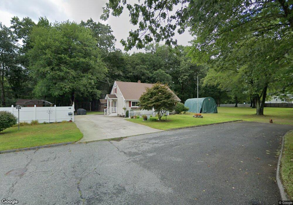
48 Powers St Chicopee, MA 01020
Fairview NeighborhoodEstimated Value: $352,000 - $463,000
3
Beds
2
Baths
1,341
Sq Ft
$289/Sq Ft
Est. Value
About This Home
This home is located at 48 Powers St, Chicopee, MA 01020 and is currently estimated at $387,206, approximately $288 per square foot. 48 Powers St is a home located in Hampden County with nearby schools including Bowie Elementary School, Fairview Middle School, and Chicopee Comprehensive High School.
Ownership History
Date
Name
Owned For
Owner Type
Purchase Details
Closed on
May 30, 1996
Sold by
Dubois Robert G and Dubois Constance R
Bought by
Dubois Brant G and Dubois Laurie A
Current Estimated Value
Home Financials for this Owner
Home Financials are based on the most recent Mortgage that was taken out on this home.
Original Mortgage
$107,100
Interest Rate
7.91%
Mortgage Type
Purchase Money Mortgage
Create a Home Valuation Report for This Property
The Home Valuation Report is an in-depth analysis detailing your home's value as well as a comparison with similar homes in the area
Home Values in the Area
Average Home Value in this Area
Purchase History
| Date | Buyer | Sale Price | Title Company |
|---|---|---|---|
| Dubois Brant G | $126,000 | -- |
Source: Public Records
Mortgage History
| Date | Status | Borrower | Loan Amount |
|---|---|---|---|
| Open | Dubois Brant G | $20,000 | |
| Open | Dubois Brant G | $135,000 | |
| Closed | Dubois Brant G | $108,800 | |
| Closed | Dubois Brant G | $107,100 |
Source: Public Records
Tax History
| Year | Tax Paid | Tax Assessment Tax Assessment Total Assessment is a certain percentage of the fair market value that is determined by local assessors to be the total taxable value of land and additions on the property. | Land | Improvement |
|---|---|---|---|---|
| 2025 | $4,434 | $292,500 | $113,100 | $179,400 |
| 2024 | $4,211 | $285,300 | $110,800 | $174,500 |
| 2023 | $4,039 | $266,600 | $100,800 | $165,800 |
| 2022 | $3,984 | $234,500 | $87,600 | $146,900 |
| 2021 | $3,790 | $215,200 | $79,600 | $135,600 |
| 2020 | $3,663 | $209,800 | $81,800 | $128,000 |
| 2019 | $3,632 | $202,200 | $81,800 | $120,400 |
| 2018 | $3,510 | $191,700 | $77,900 | $113,800 |
| 2017 | $3,045 | $175,900 | $71,400 | $104,500 |
| 2016 | $2,898 | $171,400 | $71,400 | $100,000 |
| 2015 | $3,041 | $173,400 | $71,400 | $102,000 |
| 2014 | $1,521 | $173,400 | $71,400 | $102,000 |
Source: Public Records
Map
Nearby Homes
- 355 New Ludlow Rd
- 2085 Memorial Dr
- 128 Ann St
- 341 Montcalm St
- 41 Susan Ave
- 15 Hudson Ave
- 143 Royal St
- 90 Anson St
- 134 Lukasik St
- 10 Shadow Brook Estate
- 35 Ludlow Rd
- 25 Shadow Brook Estates Unit 25
- 39 Mccarthy Ave
- 81 Mccarthy Ave
- 0 Granby Rd
- 523 James St
- 24 Grandview St
- 5 Marion St
- 5 Olde Plains Hollow
- 82 Mitchell Dr
- 8 Powers St
- 0 Powers St
- 66 Powers Rd
- 60 Powers St
- 84 Cherryvale St
- 77 Cherryvale St
- 78 Cherryvale St
- 22 Manola St
- 71 Cherryvale St
- 72 Cherryvale St
- 72 Cherryvale St Unit 1
- 1 Powers St
- 98 Fillmore St
- 57 Abbey St
- 12 Manola St
- 84 Fillmore St
- 310 New Ludlow Rd
- 318 New Ludlow Rd
- 97 Fillmore St
- 328 New Ludlow Rd