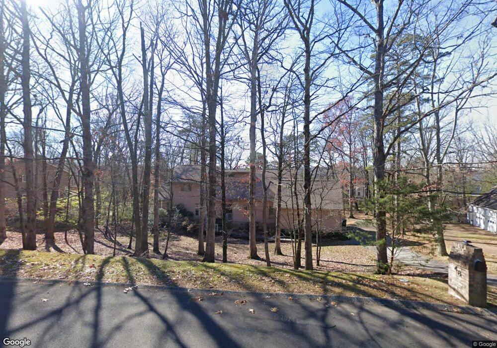
48 Rock Crest Dr Signal Mountain, TN 37377
Estimated Value: $914,596 - $1,029,000
--
Bed
1
Bath
4,942
Sq Ft
$196/Sq Ft
Est. Value
About This Home
This home is located at 48 Rock Crest Dr, Signal Mountain, TN 37377 and is currently estimated at $966,899, approximately $195 per square foot. 48 Rock Crest Dr is a home located in Hamilton County with nearby schools including Thrasher Elementary School and Signal Mountain Middle/High School.
Ownership History
Date
Name
Owned For
Owner Type
Purchase Details
Closed on
Nov 30, 2011
Sold by
Geer Michael R
Bought by
Geer Lana M
Current Estimated Value
Home Financials for this Owner
Home Financials are based on the most recent Mortgage that was taken out on this home.
Original Mortgage
$712,500
Interest Rate
4.06%
Mortgage Type
Reverse Mortgage Home Equity Conversion Mortgage
Create a Home Valuation Report for This Property
The Home Valuation Report is an in-depth analysis detailing your home's value as well as a comparison with similar homes in the area
Home Values in the Area
Average Home Value in this Area
Purchase History
| Date | Buyer | Sale Price | Title Company |
|---|---|---|---|
| Geer Lana M | -- | Boston Natl Title Agency Llc |
Source: Public Records
Mortgage History
| Date | Status | Borrower | Loan Amount |
|---|---|---|---|
| Closed | Geer Lana M | $712,500 |
Source: Public Records
Tax History Compared to Growth
Tax History
| Year | Tax Paid | Tax Assessment Tax Assessment Total Assessment is a certain percentage of the fair market value that is determined by local assessors to be the total taxable value of land and additions on the property. | Land | Improvement |
|---|---|---|---|---|
| 2024 | $3,463 | $154,775 | $0 | $0 |
| 2023 | $3,463 | $154,775 | $0 | $0 |
| 2022 | $3,463 | $154,775 | $0 | $0 |
| 2021 | $3,463 | $154,775 | $0 | $0 |
| 2020 | $3,702 | $133,875 | $0 | $0 |
| 2019 | $3,702 | $133,875 | $0 | $0 |
| 2018 | $3,702 | $133,875 | $0 | $0 |
| 2017 | $3,702 | $133,875 | $0 | $0 |
| 2016 | $3,564 | $0 | $0 | $0 |
| 2015 | $3,564 | $128,875 | $0 | $0 |
| 2014 | $3,564 | $0 | $0 | $0 |
Source: Public Records
Map
Nearby Homes
- 15 Grayswood Hill Rd
- 14 Carriage Hill
- 206 Palisades Dr
- 1425 Palisades Rd
- 220 Palisades Dr
- 103 Arrow Dr
- 409 Mississippi Ave
- 608 Texas Ave
- 105 Mountain Court Dr
- 1059 Balmoral Dr
- 1108 Sunset Dr
- 779 James Blvd
- 115 Golf Dr
- 921 Ridgeway Ave
- 212 N Palisades Dr
- 907 Kentucky Ave
- 0 Cash Canyon Rd Unit 1510156
- 0 Cash Canyon Rd Unit 1509275
- 1425 Sunset Dr
- 1419 Sunset Dr
- 2 Rock Crest Dr
- 46 Rock Crest Dr
- 46 Rock Crest Dr Unit 332
- 14 Rock Crest Dr
- 12 Rock Crest Dr
- 45 Rock Crest Dr Unit 3
- 45 Rock Crest Dr Unit 332
- 0 Grayswood Hill Rd
- 0 Grayswood Hill Rd Unit 1163324
- 4 Rock Crest Dr
- 16 Rock Crest Dr
- 16 Rock Crest Dr Unit 2
- 44 Rock Crest Dr
- 44 Rock Crest Dr Unit 332
- 43 Rock Crest Dr
- 43 Rock Crest Dr Unit 131
- 18 Rock Crest Dr
- 6 Rock Crest Dr
- 6 Rock Crest Dr Unit 2
- 2 Grayswood Hill Rd