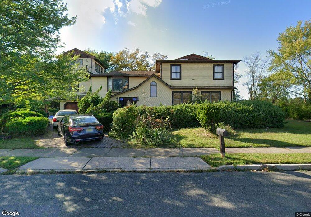
48 Sage Rd Toms River, NJ 08753
Estimated Value: $924,000 - $990,000
5
Beds
4
Baths
4,554
Sq Ft
$211/Sq Ft
Est. Value
About This Home
This home is located at 48 Sage Rd, Toms River, NJ 08753 and is currently estimated at $961,797, approximately $211 per square foot. 48 Sage Rd is a home located in Ocean County.
Ownership History
Date
Name
Owned For
Owner Type
Purchase Details
Closed on
Nov 26, 2003
Sold by
Mcmahon Edward
Bought by
Hayward Malcolm and Hayward Maysa
Current Estimated Value
Home Financials for this Owner
Home Financials are based on the most recent Mortgage that was taken out on this home.
Original Mortgage
$320,000
Outstanding Balance
$149,834
Interest Rate
6.03%
Estimated Equity
$811,963
Purchase Details
Closed on
May 29, 1997
Sold by
Ford Consumer Finance
Bought by
Mcmahon Edward and Briggs Wade
Home Financials for this Owner
Home Financials are based on the most recent Mortgage that was taken out on this home.
Original Mortgage
$220,000
Interest Rate
7.81%
Create a Home Valuation Report for This Property
The Home Valuation Report is an in-depth analysis detailing your home's value as well as a comparison with similar homes in the area
Home Values in the Area
Average Home Value in this Area
Purchase History
| Date | Buyer | Sale Price | Title Company |
|---|---|---|---|
| Hayward Malcolm | $425,000 | -- | |
| Mcmahon Edward | $220,000 | -- |
Source: Public Records
Mortgage History
| Date | Status | Borrower | Loan Amount |
|---|---|---|---|
| Open | Hayward Malcolm | $320,000 | |
| Previous Owner | Mcmahon Edward | $220,000 |
Source: Public Records
Tax History Compared to Growth
Tax History
| Year | Tax Paid | Tax Assessment Tax Assessment Total Assessment is a certain percentage of the fair market value that is determined by local assessors to be the total taxable value of land and additions on the property. | Land | Improvement |
|---|---|---|---|---|
| 2025 | $11,511 | $631,800 | $183,000 | $448,800 |
| 2024 | $10,936 | $631,800 | $183,000 | $448,800 |
| 2023 | $10,538 | $631,800 | $183,000 | $448,800 |
| 2022 | $10,538 | $631,800 | $183,000 | $448,800 |
| 2021 | $10,924 | $437,300 | $79,500 | $357,800 |
| 2020 | $10,876 | $437,300 | $79,500 | $357,800 |
| 2019 | $10,403 | $437,300 | $79,500 | $357,800 |
| 2018 | $10,298 | $437,300 | $79,500 | $357,800 |
| 2017 | $10,228 | $437,300 | $79,500 | $357,800 |
| 2016 | $9,988 | $437,300 | $79,500 | $357,800 |
| 2015 | $9,629 | $437,300 | $79,500 | $357,800 |
| 2014 | $9,153 | $437,300 | $79,500 | $357,800 |
Source: Public Records
Map
Nearby Homes
- 46 Clarkson Dr
- 35 Heather Rd
- 230 Christoffer Terrace
- 169 S Shore Dr
- 1201 Lighthouse Ln Unit 1fm
- 2 Cedar Tree Ln
- 99 Silver Bay Rd
- 73 S Shore Dr
- 6 Cedar Tree Ln
- 621 Waters Edge Dr Unit 21
- 1916 Waters Edge Dr Unit 16
- 1813 Waters Edge Dr
- 1214 Waters Edge Dr Unit 14
- 1850 Ensign Ct
- 2517 Waters Edge Dr Unit 17
- 193 Bay Stream Dr
- 190 Bay Stream Dr
- 133 Mello Ln
- 139 Mello Ln
- 200 Silver Bay Rd