48 Silverleaf Ln Dennis, MA 02638
Dennis Village NeighborhoodEstimated Value: $1,521,382 - $1,883,000
5
Beds
3
Baths
1,816
Sq Ft
$895/Sq Ft
Est. Value
About This Home
This home is located at 48 Silverleaf Ln, Dennis, MA 02638 and is currently estimated at $1,625,846, approximately $895 per square foot. 48 Silverleaf Ln is a home located in Barnstable County with nearby schools including Dennis-Yarmouth Regional High School.
Ownership History
Date
Name
Owned For
Owner Type
Purchase Details
Closed on
Nov 26, 2022
Sold by
Sambor Lori S and Sambor Frank J
Bought by
Sambor Ft
Current Estimated Value
Purchase Details
Closed on
Sep 15, 1994
Sold by
Santoro Henry J
Bought by
Sambor Lori J and Sambor Frank J
Create a Home Valuation Report for This Property
The Home Valuation Report is an in-depth analysis detailing your home's value as well as a comparison with similar homes in the area
Home Values in the Area
Average Home Value in this Area
Purchase History
| Date | Buyer | Sale Price | Title Company |
|---|---|---|---|
| Sambor Ft | -- | None Available | |
| Sambor Lori J | $83,000 | -- |
Source: Public Records
Tax History
| Year | Tax Paid | Tax Assessment Tax Assessment Total Assessment is a certain percentage of the fair market value that is determined by local assessors to be the total taxable value of land and additions on the property. | Land | Improvement |
|---|---|---|---|---|
| 2025 | $7,166 | $1,654,900 | $1,080,500 | $574,400 |
| 2024 | $7,037 | $1,602,900 | $1,039,100 | $563,800 |
| 2023 | $6,806 | $1,457,300 | $944,600 | $512,700 |
| 2022 | $5,906 | $1,054,600 | $668,600 | $386,000 |
| 2021 | $5,687 | $943,200 | $655,400 | $287,800 |
| 2020 | $5,971 | $978,900 | $655,400 | $323,500 |
| 2019 | $4,521 | $732,800 | $467,400 | $265,400 |
| 2018 | $4,659 | $734,900 | $478,300 | $256,600 |
| 2017 | $4,520 | $734,900 | $478,300 | $256,600 |
| 2016 | $4,843 | $741,600 | $522,800 | $218,800 |
| 2015 | $4,746 | $741,600 | $522,800 | $218,800 |
| 2014 | $4,665 | $734,700 | $522,800 | $211,900 |
Source: Public Records
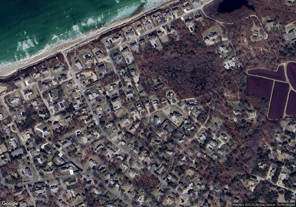
Map
Nearby Homes
- 73 Pilgrim Rd
- 37 Johnson Ln
- 96 Shore Dr
- 24 Federal Ln
- 19 Whig St
- 59 Hope Ln
- 19 Deacon Joseph Ln
- 156 Shore Dr
- 12 Dunes View Rd
- 645 Main St Back Lot
- 69 Horsefoot Path
- 94 Horsefoot Path
- 15 Signal Hill Dr
- 35 Crown Grant Dr
- 6 Thomas Ct
- 7 Collins Ave
- 930 Old Bass River Rd
- 49 Rodoalph's Way
- 4 Spadoni Rd
- 4 Spadoni Way
- 44 Silverleaf Ln
- 52 Silverleaf Ln
- 7 Camelot Way
- 3 Camelot Way
- 56 Silverleaf Ln
- 40 Silverleaf Ln
- 11 Camelot Way
- 6 Beagle by Way
- 6 Beagle By-Way
- 0 Silverleaf Ln
- 60 Silverleaf Ln
- 5 Beagle by Way
- 32 Silverleaf Ln
- 33 Silverleaf Ln
- 9 Beagle by Way
- 25 Hiram Pond Rd
- 11 Hiram Pond Rd
- 10 Beagle by Way
- 8 Camelot Way
- 7 Bayberry Ln
Your Personal Tour Guide
Ask me questions while you tour the home.