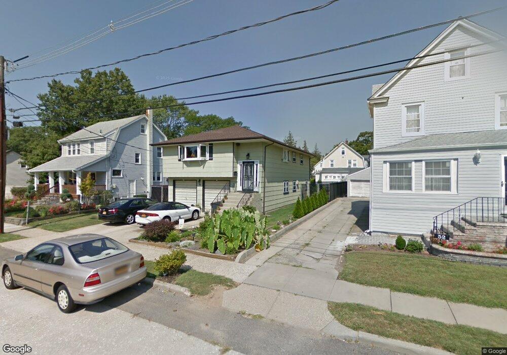
48 Terrace Ave Freeport, NY 11520
Estimated Value: $637,369 - $755,000
Studio
2
Baths
1,349
Sq Ft
$516/Sq Ft
Est. Value
About This Home
This home is located at 48 Terrace Ave, Freeport, NY 11520 and is currently estimated at $696,185, approximately $516 per square foot. 48 Terrace Ave is a home located in Nassau County with nearby schools including Caroline G. Atkinson Intermediate School, Columbus Avenue School, and John W Dodd Middle School.
Ownership History
Date
Name
Owned For
Owner Type
Purchase Details
Closed on
Sep 20, 2006
Sold by
Walton Deborah
Current Estimated Value
Purchase Details
Closed on
Sep 29, 1995
Sold by
Gandy Fred
Bought by
Walton Pierre and Walton Deborah
Home Financials for this Owner
Home Financials are based on the most recent Mortgage that was taken out on this home.
Original Mortgage
$143,550
Interest Rate
7.71%
Create a Home Valuation Report for This Property
The Home Valuation Report is an in-depth analysis detailing your home's value as well as a comparison with similar homes in the area
Home Values in the Area
Average Home Value in this Area
Purchase History
| Date | Buyer | Sale Price | Title Company |
|---|---|---|---|
| -- | -- | -- | |
| Walton Pierre | $159,500 | -- |
Source: Public Records
Mortgage History
| Date | Status | Borrower | Loan Amount |
|---|---|---|---|
| Previous Owner | Walton Pierre | $143,550 |
Source: Public Records
Tax History
| Year | Tax Paid | Tax Assessment Tax Assessment Total Assessment is a certain percentage of the fair market value that is determined by local assessors to be the total taxable value of land and additions on the property. | Land | Improvement |
|---|---|---|---|---|
| 2025 | $9,000 | $459 | $128 | $331 |
| 2024 | $1,051 | $459 | $128 | $331 |
Source: Public Records
Map
Nearby Homes
- 2098 Felix Ct
- 6 Beverly Pkwy
- 883 Mckenna Ave
- 15 Mckenna Ave
- 215 N Brookside Ave
- 89 Delaware Ave
- 156 Juanita Ave
- 858 Seaman Ave E
- 28 Lexington Ave
- 235 Pine St
- 172 Juanita Ave
- 757 Bixby Dr
- 101 Wallace St
- 60 Connecticut Ave
- 107 California Ave
- 2 Florence St
- 161 Wallace St
- 99 Randall Ave Unit 1Q
- 1850 Voshage St
- 1 Willowbrook Ln
- 44 Terrace Ave
- 52 Terrace Ave
- 353 Randall Ave
- 357 Randall Ave
- 56 Terrace Ave
- 38 Terrace Ave
- 347 Randall Ave
- 361 Randall Ave
- 341 Randall Ave
- bnnnn58 Terrace Ave
- 58 Terrace Ave
- 339 Randall Ave
- 21 Terrace Ave
- 62 Terrace Ave
- 350 Randall Ave
- 17 Terrace Ave
- 352 Randall Ave
- 348 Randall Ave
- 346 Randall Ave
- 115 N Bayview Ave
Your Personal Tour Guide
Ask me questions while you tour the home.