48 Todd Pond Rd Unit 48,48 Lincoln, MA 01773
Estimated Value: $484,570 - $586,000
1
Bed
1
Bath
1,002
Sq Ft
$521/Sq Ft
Est. Value
About This Home
This home is located at 48 Todd Pond Rd Unit 48,48, Lincoln, MA 01773 and is currently estimated at $521,893, approximately $520 per square foot. 48 Todd Pond Rd Unit 48,48 is a home located in Middlesex County with nearby schools including Lincoln-Sudbury Regional High School.
Ownership History
Date
Name
Owned For
Owner Type
Purchase Details
Closed on
Sep 10, 2020
Sold by
Luneau Michael
Bought by
Michael A Luneau Ret
Current Estimated Value
Purchase Details
Closed on
Jan 22, 2018
Sold by
Daniel W Ladd 2014 T
Bought by
Luneau Michael
Home Financials for this Owner
Home Financials are based on the most recent Mortgage that was taken out on this home.
Original Mortgage
$256,000
Interest Rate
3.94%
Mortgage Type
New Conventional
Purchase Details
Closed on
Mar 14, 2014
Sold by
Ladd Daniel W
Bought by
Daniel W Ladd T
Purchase Details
Closed on
Aug 29, 2007
Sold by
Charles Gk Warner T
Bought by
Ladd Daniel W
Home Financials for this Owner
Home Financials are based on the most recent Mortgage that was taken out on this home.
Original Mortgage
$145,000
Interest Rate
6.71%
Mortgage Type
Purchase Money Mortgage
Purchase Details
Closed on
Sep 12, 1997
Sold by
Spooner Susan B
Bought by
Warner Charles G
Create a Home Valuation Report for This Property
The Home Valuation Report is an in-depth analysis detailing your home's value as well as a comparison with similar homes in the area
Home Values in the Area
Average Home Value in this Area
Purchase History
| Date | Buyer | Sale Price | Title Company |
|---|---|---|---|
| Michael A Luneau Ret | -- | None Available | |
| Luneau Michael | $320,000 | -- | |
| Daniel W Ladd T | -- | -- | |
| Ladd Daniel W | $255,000 | -- | |
| Warner Charles G | $192,500 | -- |
Source: Public Records
Mortgage History
| Date | Status | Borrower | Loan Amount |
|---|---|---|---|
| Previous Owner | Luneau Michael | $256,000 | |
| Previous Owner | Ladd Daniel W | $145,000 | |
| Previous Owner | Warner Charles G | $11,000 | |
| Previous Owner | Warner Charles G | $15,000 |
Source: Public Records
Tax History Compared to Growth
Tax History
| Year | Tax Paid | Tax Assessment Tax Assessment Total Assessment is a certain percentage of the fair market value that is determined by local assessors to be the total taxable value of land and additions on the property. | Land | Improvement |
|---|---|---|---|---|
| 2025 | $52 | $409,700 | $0 | $409,700 |
| 2024 | $4,933 | $382,700 | $0 | $382,700 |
| 2023 | $5,294 | $380,300 | $0 | $380,300 |
| 2022 | $4,584 | $307,000 | $0 | $307,000 |
| 2021 | $4,491 | $289,400 | $0 | $289,400 |
| 2020 | $4,445 | $289,400 | $0 | $289,400 |
| 2019 | $3,433 | $244,700 | $0 | $244,700 |
| 2018 | $3,328 | $244,700 | $0 | $244,700 |
| 2017 | $3,202 | $233,700 | $0 | $233,700 |
| 2016 | $3,239 | $231,500 | $0 | $231,500 |
| 2015 | $3,431 | $242,500 | $0 | $242,500 |
| 2014 | $3,526 | $244,700 | $0 | $244,700 |
Source: Public Records
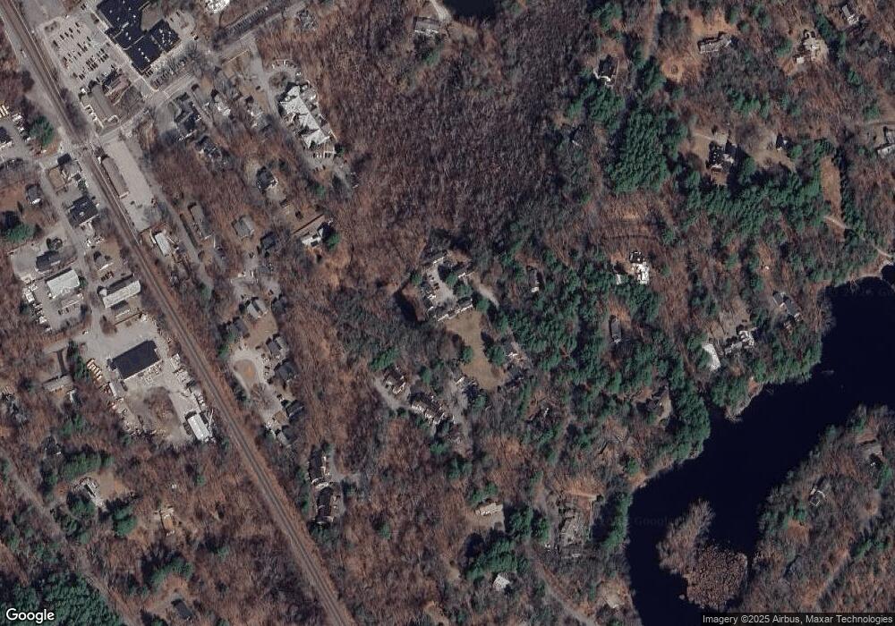
Map
Nearby Homes
- 130 Tower Rd
- 44 Baker Bridge Rd
- 60 Baker Bridge Rd
- 152 S Great Rd
- 244 Lincoln Rd
- 22 Lincoln Rd
- 93 Old Sudbury Rd
- 3 Clifford Ln
- 19 Conant Rd
- 6 Clifford Ln
- 33 Old Concord Rd
- 12 Laurel Dr
- 75 Westland Rd
- 121 Cherry Brook Rd
- 5 Peakes Ln
- 426 Conant Rd
- 416 Conant Rd
- 134 Chestnut Cir
- 50 Windingwood Ln
- 51 Willard Rd
- 48 Todd Pond Rd
- 46 Todd Pond Rd
- 45 Todd Pond Rd
- 45 Todd Pond Rd Unit 45
- 58 Todd Pond Rd
- 57 Todd Pond Rd
- 49 Todd Pond Rd
- 50 Todd Pond Rd
- 52 Todd Pond Rd
- 56 Todd Pond Rd
- 54 Todd Pond Rd
- 56 Todd Pond Rd Unit 56
- 23 Todd Pond Rd
- 42 Todd Pond Rd
- 42 Todd Pond Rd Unit 42
- 43 Todd Pond Rd
- 40 Todd Pond Rd
- 41 Todd Pond Rd
- 39 Todd Pond Rd
- 38 Todd Pond Rd