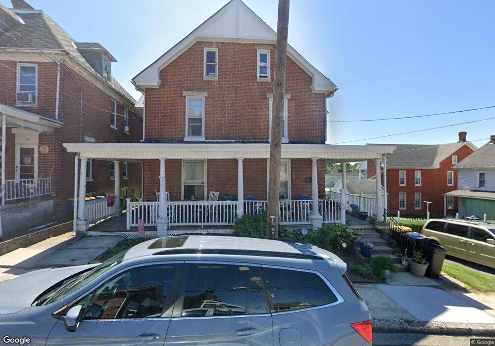
48 W 4th St Waynesboro, PA 17268
Estimated Value: $133,961 - $187,000
4
Beds
2
Baths
1,602
Sq Ft
$98/Sq Ft
Est. Value
About This Home
This home is located at 48 W 4th St, Waynesboro, PA 17268 and is currently estimated at $156,490, approximately $97 per square foot. 48 W 4th St is a home located in Franklin County with nearby schools including Waynesboro Area Senior High School, Noah's Ark Christian Child Care Center, and St. Andrew Catholic School.
Ownership History
Date
Name
Owned For
Owner Type
Purchase Details
Closed on
Aug 28, 2008
Sold by
Starr Jay L
Bought by
Wiles Mary I
Current Estimated Value
Home Financials for this Owner
Home Financials are based on the most recent Mortgage that was taken out on this home.
Original Mortgage
$128,208
Outstanding Balance
$85,521
Interest Rate
6.58%
Mortgage Type
FHA
Estimated Equity
$70,969
Purchase Details
Closed on
Jun 30, 2006
Sold by
Starr Jay L and Starr Roxane T
Bought by
Starr Jay L
Create a Home Valuation Report for This Property
The Home Valuation Report is an in-depth analysis detailing your home's value as well as a comparison with similar homes in the area
Home Values in the Area
Average Home Value in this Area
Purchase History
| Date | Buyer | Sale Price | Title Company |
|---|---|---|---|
| Wiles Mary I | $129,900 | None Available | |
| Starr Jay L | -- | None Available |
Source: Public Records
Mortgage History
| Date | Status | Borrower | Loan Amount |
|---|---|---|---|
| Open | Wiles Mary I | $128,208 |
Source: Public Records
Tax History Compared to Growth
Tax History
| Year | Tax Paid | Tax Assessment Tax Assessment Total Assessment is a certain percentage of the fair market value that is determined by local assessors to be the total taxable value of land and additions on the property. | Land | Improvement |
|---|---|---|---|---|
| 2025 | $1,124 | $6,200 | $450 | $5,750 |
| 2024 | $1,096 | $6,200 | $450 | $5,750 |
| 2023 | $1,072 | $6,200 | $450 | $5,750 |
| 2022 | $1,038 | $6,200 | $450 | $5,750 |
| 2021 | $985 | $6,200 | $450 | $5,750 |
| 2020 | $977 | $6,200 | $450 | $5,750 |
| 2019 | $959 | $6,200 | $450 | $5,750 |
| 2018 | $904 | $6,200 | $450 | $5,750 |
| 2017 | $887 | $6,200 | $450 | $5,750 |
| 2016 | $178 | $6,200 | $450 | $5,750 |
| 2015 | $442 | $6,200 | $450 | $5,750 |
| 2014 | $166 | $6,200 | $450 | $5,750 |
Source: Public Records
Map
Nearby Homes
- 111 E 5th St
- 208 Hamilton Ave
- 115 W 2nd St
- 405 S Broad St
- 418 W 6th St
- 223 E 3rd St
- 144 W Main St
- 217 Fairview Ave
- 0 N Church St Unit PAFL2029878
- 0 N Church St Unit PAFL2027222
- 0 Westview Ave
- Frankford Plan at Pheasant Run
- Ruby Plan at Pheasant Run
- Pearl Plan at Pheasant Run
- Emerald Plan at Pheasant Run
- Hanover Plan at Pheasant Run
- Avondale Plan at Pheasant Run
- Hamilton Plan at Pheasant Run
- Topaz Plan at Pheasant Run
- Bradford Plan at Pheasant Run