48 Whitegate Rd Wolfeboro, NH 03894
Estimated Value: $1,157,000 - $2,618,737
About This Home
This home is located at 48 Whitegate Rd, Wolfeboro, NH 03894 and is currently estimated at $1,887,869, approximately $1,191 per square foot. 48 Whitegate Rd is a home with nearby schools including Carpenter Elementary School, Crescent Lake School, and Kingswood Regional Middle School.
Ownership History
We collect this data history from publicly available records. To have your information removed, we recommend requesting removal directly through your county’s website.
Purchase Details
Home Values in the Area
Average Home Value in this Area
Purchase History
We collect this data history from publicly available records. To have your information removed, we recommend requesting removal directly through your county’s website.
| Date | Buyer | Sale Price | Title Company |
|---|---|---|---|
| -- | -- |
Mortgage History
We collect this data history from publicly available records. To have your information removed, we recommend requesting removal directly through your county’s website.
| Date | Status | Borrower | Loan Amount |
|---|---|---|---|
| Previous Owner | $150,000 |
Tax History
We collect this data history from publicly available records. To have your information removed, we recommend requesting removal directly through your county’s website.
| Year | Tax Paid | Tax Assessment Tax Assessment Total Assessment is a certain percentage of the fair market value that is determined by local assessors to be the total taxable value of land and additions on the property. | Land | Improvement |
|---|---|---|---|---|
| 2025 | $30,459 | $3,643,400 | $3,395,400 | $248,000 |
| 2024 | $22,616 | $1,422,400 | $1,244,100 | $178,300 |
| 2023 | $20,895 | $1,422,400 | $1,244,100 | $178,300 |
| 2022 | $18,804 | $1,422,400 | $1,244,100 | $178,300 |
| 2021 | $19,444 | $1,422,400 | $1,244,100 | $178,300 |
| 2020 | $3,305 | $1,415,900 | $1,244,100 | $171,800 |
| 2019 | $20,456 | $1,291,400 | $1,162,800 | $128,600 |
| 2018 | $2,488 | $1,351,400 | $1,222,800 | $128,600 |
| 2017 | $20,244 | $1,351,400 | $1,222,800 | $128,600 |
| 2016 | $19,771 | $1,351,400 | $1,222,800 | $128,600 |
| 2015 | $22,353 | $1,602,400 | $1,476,700 | $125,700 |
| 2014 | $17,384 | $1,336,200 | $1,192,500 | $143,700 |
| 2013 | $17,143 | $1,336,200 | $1,192,500 | $143,700 |
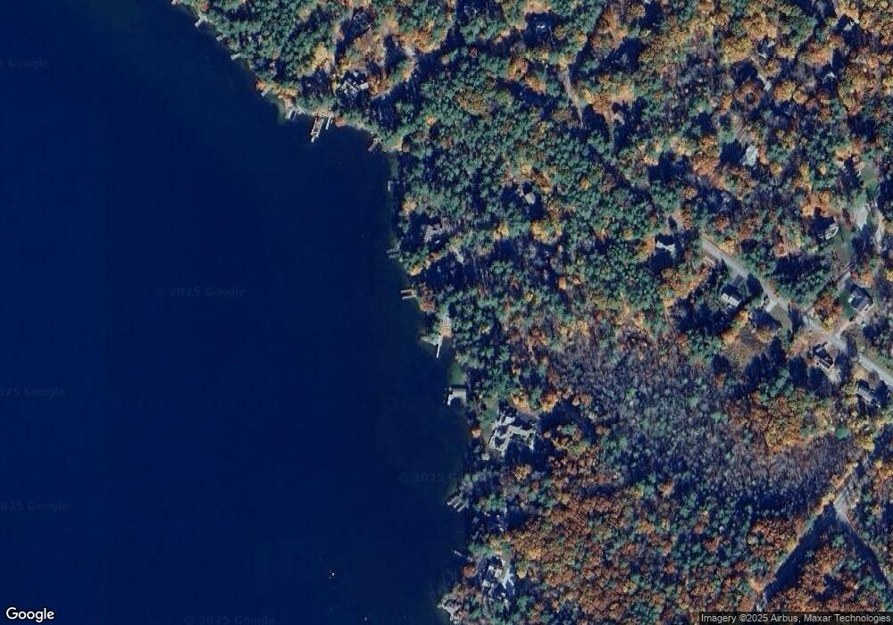
Map
- 12 Laurel Cir
- 4 Wolfeboro Common
- 5 Lloyd Rd
- 4 Farmhouse Ln
- 20 Wyman Dr
- 1 Farm House Ln Unit 2
- 244 N Main St
- 222 N Main St
- 35 Rocky Shore Rd
- 56 Ambrose Way
- 9 Hemlock Dr
- 74 Keewaydin Rd
- 159 N Main St
- 153 N Main St
- 45 Hemlock Dr Unit Lot 3
- 80 Parker Island Rd
- 1 Ians Way
- 527 N Main St
- 151 Ambrose Way
- 165 Ambrose Way
- 50 Whitegate Rd
- 36 Whitegate Rd
- 60 Whitegate Rd
- 61 Whitegate Rd
- 68 Whitegate Rd
- 171 Forest Rd
- 10 Partridge Dr
- 10 Partridge Dr
- 9 Partridge Dr
- 3 Partridge Dr
- 00 Maplewood Dr
- 179 Forest Rd
- 13 Jiminy Dr
- 14 Partridge Dr
- 8 Partridge Dr
- 8 Partridge Dr
- 18 Partridge Dr
- 13 Partridge Dr
- 14 Jiminy Dr
- 6 Partridge Dr
Ask me questions while you tour the home.