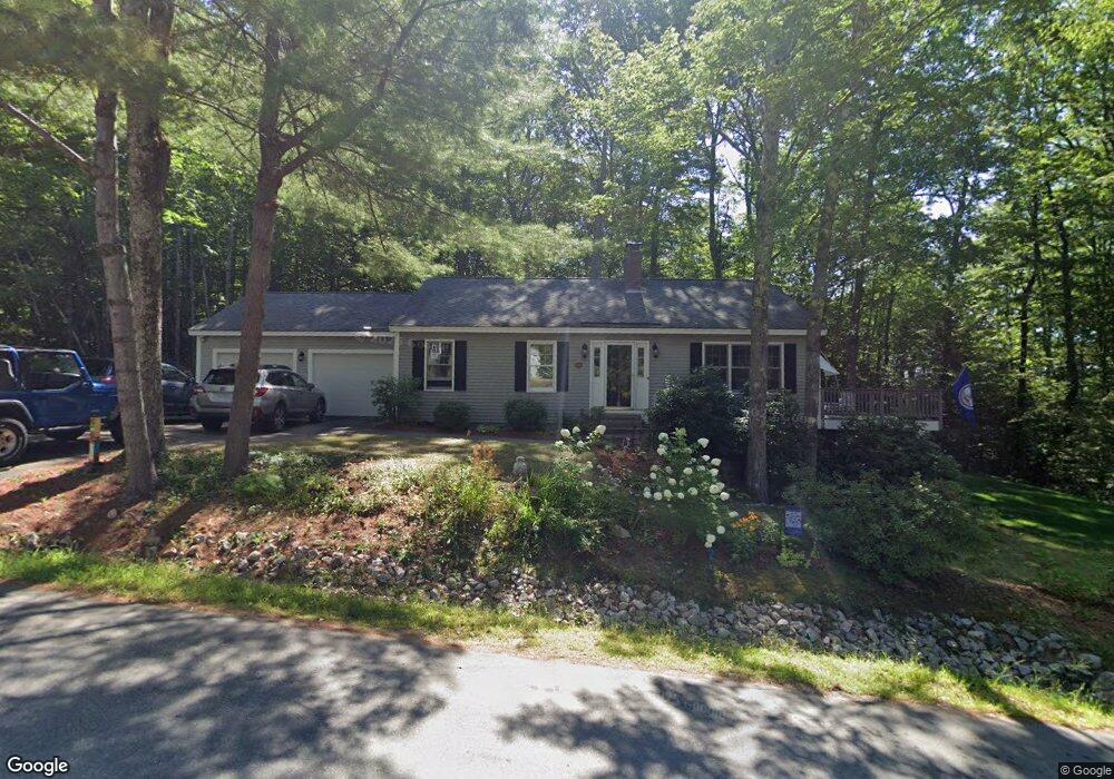
48 Winterhaven Rd Wolfeboro, NH 03894
Wolfeboro AreaEstimated Value: $673,000 - $975,000
About This Home
This home is located at 48 Winterhaven Rd, Wolfeboro, NH 03894 and is currently estimated at $863,577, approximately $654 per square foot. 48 Winterhaven Rd is a home located in Carroll County with nearby schools including Carpenter Elementary School, Crescent Lake School, and Kingswood Regional Middle School.
Ownership History
We collect this data history from publicly available records. To have your information removed, we recommend requesting removal directly through your county’s website.
Purchase Details
Purchase Details
Home Values in the Area
Average Home Value in this Area
Purchase History
We collect this data history from publicly available records. To have your information removed, we recommend requesting removal directly through your county’s website.
| Date | Buyer | Sale Price | Title Company |
|---|---|---|---|
| -- | -- | ||
| $450,000 | -- |
Tax History
We collect this data history from publicly available records. To have your information removed, we recommend requesting removal directly through your county’s website.
| Year | Tax Paid | Tax Assessment Tax Assessment Total Assessment is a certain percentage of the fair market value that is determined by local assessors to be the total taxable value of land and additions on the property. | Land | Improvement |
|---|---|---|---|---|
| 2025 | $7,345 | $878,600 | $526,500 | $352,100 |
| 2024 | $6,915 | $434,900 | $256,500 | $178,400 |
| 2023 | $6,389 | $434,900 | $256,500 | $178,400 |
| 2022 | $5,749 | $434,900 | $256,500 | $178,400 |
| 2021 | $5,945 | $434,900 | $256,500 | $178,400 |
| 2020 | $5,658 | $434,900 | $256,500 | $178,400 |
| 2019 | $5,512 | $348,000 | $212,800 | $135,200 |
| 2018 | $5,498 | $348,000 | $212,800 | $135,200 |
| 2017 | $5,213 | $348,000 | $212,800 | $135,200 |
| 2016 | $5,021 | $343,200 | $212,800 | $130,400 |
| 2015 | $4,788 | $343,200 | $212,800 | $130,400 |
| 2014 | $3,501 | $269,100 | $116,400 | $152,700 |
| 2013 | $3,453 | $269,100 | $116,400 | $152,700 |
Map
- 5 Lloyd Rd
- 12 Laurel Cir
- 74 Keewaydin Rd
- 4 Wolfeboro Common
- 9 Hemlock Dr
- 506 N Main St
- 6 Wyanoke Gate Ln
- 519 N Main St
- 527 N Main St
- 4 Farmhouse Ln
- 539 N Main St
- 1 Farm House Ln Unit 2
- 35 Rocky Shore Rd
- 45 Hemlock Dr Unit Lot 3
- 79 Waumbeck Rd
- 40 Harbor Way Unit 24
- 6 Bassett Rd
- 607 N Main St
- 606 N Main St
- 244 N Main St
- 48 Winter Haven Rd
- 50 Winterhaven Rd
- 47 Winterhaven Rd
- 71 Port Wedeln Rd
- 49 Winterhaven Rd
- 3 Earl Shore
- 3 Earl Shore
- 45 Winterhaven Rd
- 0 Earl Shore Rd
- 69 Port Wedeln Rd
- 4 Lloyd Rd
- 2 Bernard Rd
- 66 Port Wedeln Rd
- 13 Earl Shore Rd
- 67 Port Wedeln Rd
- 4 Bernard Rd
- 65 Port Wedeln Rd
- 5 Earl Shore
- 5 Earl Shore Rd
- 6 Lloyd Rd
Ask me questions while you tour the home.