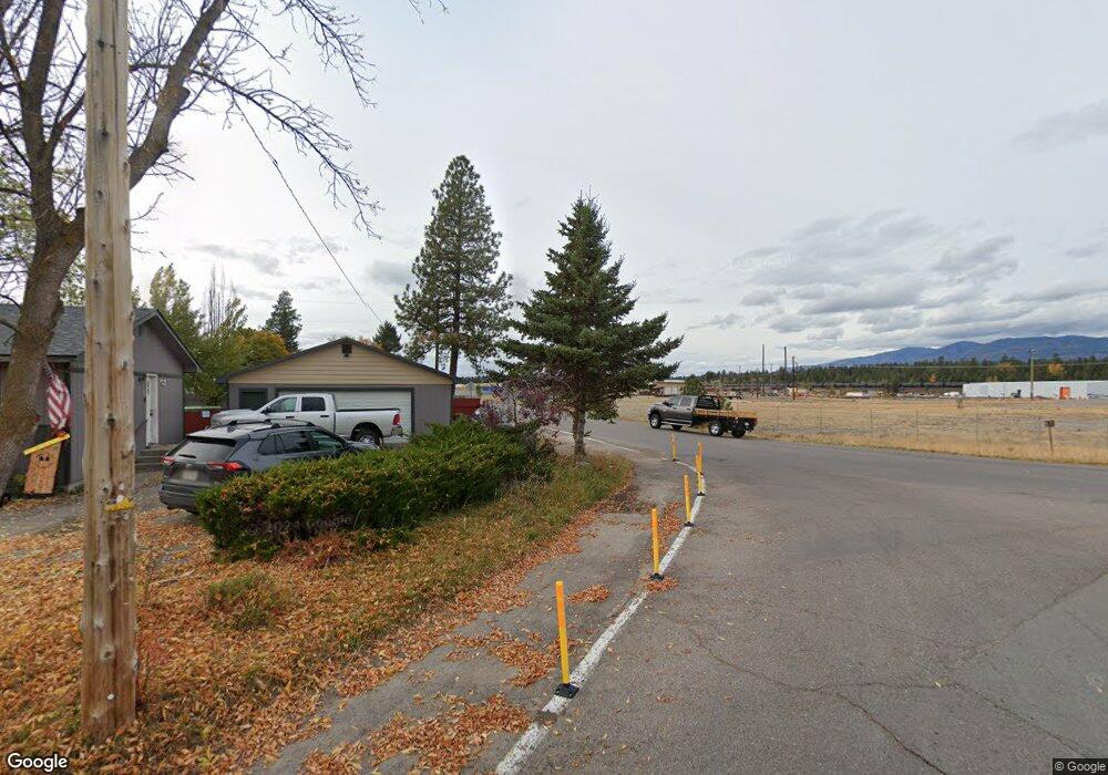
480 6th Ave W Columbia Falls, MT 59912
Estimated Value: $419,000 - $455,609
3
Beds
2
Baths
960
Sq Ft
$454/Sq Ft
Est. Value
About This Home
This home is located at 480 6th Ave W, Columbia Falls, MT 59912 and is currently estimated at $435,536, approximately $453 per square foot. 480 6th Ave W is a home located in Flathead County with nearby schools including Glacier Gateway Elementary School, Columbia Falls Junior High School (7-8), and Columbia Falls High School.
Ownership History
Date
Name
Owned For
Owner Type
Purchase Details
Closed on
Aug 3, 2007
Sold by
Berry Robert Orris and Berry Robert Oris
Bought by
Berry Robert Orris and Berry Rene Diane
Current Estimated Value
Purchase Details
Closed on
Jul 1, 2005
Sold by
Medrano Trudi Ann
Bought by
Berry Robert Oris and Berry Rene Dianne
Home Financials for this Owner
Home Financials are based on the most recent Mortgage that was taken out on this home.
Original Mortgage
$136,850
Interest Rate
8.55%
Mortgage Type
Adjustable Rate Mortgage/ARM
Purchase Details
Closed on
Feb 24, 2005
Sold by
Arv Holding Llc
Bought by
Medrano Trudiann
Home Financials for this Owner
Home Financials are based on the most recent Mortgage that was taken out on this home.
Original Mortgage
$23,000
Interest Rate
5.61%
Mortgage Type
Stand Alone Second
Create a Home Valuation Report for This Property
The Home Valuation Report is an in-depth analysis detailing your home's value as well as a comparison with similar homes in the area
Home Values in the Area
Average Home Value in this Area
Purchase History
| Date | Buyer | Sale Price | Title Company |
|---|---|---|---|
| Berry Robert Orris | -- | Citizens Title & Escrow Comp | |
| Berry Robert Oris | -- | Citizens Title & Escrow Co I | |
| Medrano Trudiann | -- | Citizens Title & Escrow Co I |
Source: Public Records
Mortgage History
| Date | Status | Borrower | Loan Amount |
|---|---|---|---|
| Previous Owner | Berry Robert Oris | $136,850 | |
| Previous Owner | Medrano Trudiann | $23,000 |
Source: Public Records
Tax History Compared to Growth
Tax History
| Year | Tax Paid | Tax Assessment Tax Assessment Total Assessment is a certain percentage of the fair market value that is determined by local assessors to be the total taxable value of land and additions on the property. | Land | Improvement |
|---|---|---|---|---|
| 2025 | $2,071 | $454,500 | $0 | $0 |
| 2024 | $2,395 | $340,200 | $0 | $0 |
| 2023 | $2,496 | $340,200 | $0 | $0 |
| 2022 | $2,344 | $222,500 | $0 | $0 |
| 2021 | $2,463 | $222,500 | $0 | $0 |
| 2020 | $2,042 | $171,400 | $0 | $0 |
| 2019 | $1,943 | $171,400 | $0 | $0 |
| 2018 | $1,858 | $156,800 | $0 | $0 |
| 2017 | $1,799 | $156,800 | $0 | $0 |
| 2016 | $1,548 | $131,000 | $0 | $0 |
| 2015 | $1,536 | $131,000 | $0 | $0 |
| 2014 | $1,818 | $94,976 | $0 | $0 |
Source: Public Records
Map
Nearby Homes
- 409 1st Street East N
- 2225 Tamarack Ln
- 307 5th St E
- 324 1st Ave E
- 221 2nd Ave W
- 943 Frontage Rd
- 519 Nucleus Ave Unit Suite 303
- 540 Nucleus Ave Unit 304
- 540 Nucleus Ave Unit 306
- 875 River Ave
- 1020 3rd Ave E
- 659 Us Highway 2 E
- 136 N Fork Trail
- 450 Highway 2 E
- 9 Cedar Pointe Loop
- 929 9th St W
- 830 11th St W
- 1605 & 1629 4th Ave W
- 378 River Rd Unit 5 parcels
- 324 Bench Run
- 480 6th Avenue East N
- 470 6th Ave W
- 470 6th Avenue East N
- 477 5th Avenue East N
- 463 5th Avenue East N
- 491 5th Avenue East N
- 491 5th St E
- 575 C St NE
- 575 C Street East N
- 556 6th Avenue East N Unit EN
- 556 6th Avenue East N Unit NORTH
- 556 6th Avenue East N
- 556 6th Avenue East N
- 463 6th Ave W
- 471 6th Ave W
- 471 6th Avenue East N
- 495 5th Avenue East N
- 495 5th St E
- 453 6th Avenue East N
- 485 6th Ave W