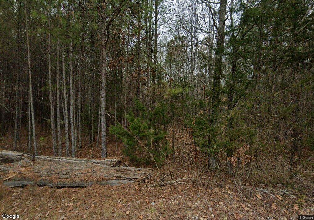
480 Clark Rd Scotts Hill, TN 38374
Estimated Value: $69,000 - $124,000
--
Bed
--
Bath
480
Sq Ft
$216/Sq Ft
Est. Value
About This Home
This home is located at 480 Clark Rd, Scotts Hill, TN 38374 and is currently estimated at $103,700, approximately $216 per square foot. 480 Clark Rd is a home with nearby schools including Decaturville Elementary School, Parsons Elementary School, and Decatur County Middle School.
Ownership History
Date
Name
Owned For
Owner Type
Purchase Details
Closed on
May 2, 2003
Sold by
Blackwood Barbara P
Bought by
Blackwood Ronald
Current Estimated Value
Purchase Details
Closed on
Dec 7, 2002
Bought by
Blackwood Ronald
Purchase Details
Closed on
Jun 7, 1993
Bought by
Blackwood Kenneth and Blackwood Barbara P
Purchase Details
Closed on
Aug 8, 1984
Bought by
Hall Wallace C
Purchase Details
Closed on
Jan 1, 1983
Purchase Details
Closed on
Jan 1, 1979
Create a Home Valuation Report for This Property
The Home Valuation Report is an in-depth analysis detailing your home's value as well as a comparison with similar homes in the area
Home Values in the Area
Average Home Value in this Area
Purchase History
| Date | Buyer | Sale Price | Title Company |
|---|---|---|---|
| Blackwood Ronald | $10,500 | -- | |
| Blackwood Ronald | $10,500 | -- | |
| Blackwood Kenneth | $10,500 | -- | |
| Hall Wallace C | -- | -- | |
| -- | $7,000 | -- | |
| -- | $7,000 | -- |
Source: Public Records
Tax History Compared to Growth
Tax History
| Year | Tax Paid | Tax Assessment Tax Assessment Total Assessment is a certain percentage of the fair market value that is determined by local assessors to be the total taxable value of land and additions on the property. | Land | Improvement |
|---|---|---|---|---|
| 2024 | $455 | $17,650 | $6,100 | $11,550 |
| 2023 | $455 | $17,650 | $6,100 | $11,550 |
| 2022 | $455 | $17,650 | $6,100 | $11,550 |
| 2021 | $455 | $17,650 | $6,100 | $11,550 |
| 2020 | $455 | $17,650 | $6,100 | $11,550 |
| 2019 | $368 | $16,375 | $6,100 | $10,275 |
| 2018 | $326 | $16,375 | $6,100 | $10,275 |
| 2017 | $326 | $16,375 | $6,100 | $10,275 |
| 2016 | $326 | $16,375 | $6,100 | $10,275 |
| 2015 | $326 | $16,375 | $6,100 | $10,275 |
| 2014 | $325 | $16,347 | $0 | $0 |
Source: Public Records
Map
Nearby Homes
- Tract 4 Tucker Rd
- Tract 1 Tucker Rd
- Tract 3 Tucker Rd
- 0 Brooksie Thompson Rd
- Lot 5 Tucker Rd
- 0 Tucker Rd
- 7371 Brooksie Thompson Rd
- 946 Roach Rd
- 00 Tucker Rd
- 2589 Presley Ridge Rd
- 1035 Tennessee 114
- 10305 Sardis Rd
- 495 Sardis Rd
- 2460 Sardis Rd
- 8060 Liberty Rd
- 47 Peace Chapel Rd
- 0 Blunt Rd
- 484 Stokes Ln
- 43 Franks Loop
- 11240 Sardis-Scotts Hill Rd
- 314 Clark Rd
- 607 Clark Rd
- 705 Clark Rd
- 31 Clark Rd
- 901 Clark Rd
- 419 Montgomery Rd
- 934 Clark Rd
- 576 Montgomery Rd
- 2857 Roach Rd
- 985 Clark Rd
- 199 Red Walnut Rd
- 2803 Roach Rd
- 855 Montgomery Rd
- 2675 Tucker Rd
- 869 Montgomery Rd
- 1089 Clark Rd
- 5384 Highway 114 W
- 2651 Roach Rd
- 2556 Tucker Rd
- 4733 Highway 114 W
