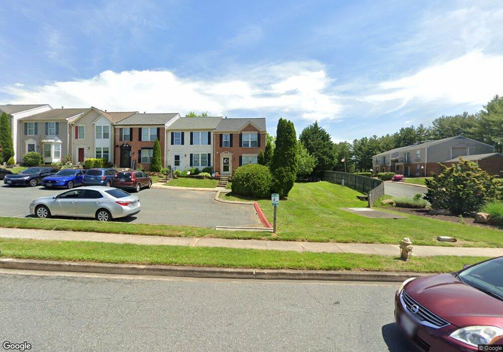
480 Crestridge Way Abingdon, MD 21009
Estimated Value: $287,786 - $319,000
--
Bed
2
Baths
1,240
Sq Ft
$250/Sq Ft
Est. Value
About This Home
This home is located at 480 Crestridge Way, Abingdon, MD 21009 and is currently estimated at $309,447, approximately $249 per square foot. 480 Crestridge Way is a home located in Harford County with nearby schools including Abingdon Elementary School, Edgewood Middle School, and Edgewood High School.
Ownership History
Date
Name
Owned For
Owner Type
Purchase Details
Closed on
Aug 26, 2004
Sold by
Stevens William F
Bought by
Kauffman Harold L and Kauffman Melodie L
Current Estimated Value
Purchase Details
Closed on
Jun 22, 2004
Sold by
Stevens William F
Bought by
Kauffman Harold L and Kauffman Melodie L
Purchase Details
Closed on
Apr 16, 1998
Sold by
Nvr Homes Inc
Bought by
Stevens William F
Create a Home Valuation Report for This Property
The Home Valuation Report is an in-depth analysis detailing your home's value as well as a comparison with similar homes in the area
Home Values in the Area
Average Home Value in this Area
Purchase History
| Date | Buyer | Sale Price | Title Company |
|---|---|---|---|
| Kauffman Harold L | $171,000 | -- | |
| Kauffman Harold L | $171,000 | -- | |
| Stevens William F | $109,900 | -- |
Source: Public Records
Mortgage History
| Date | Status | Borrower | Loan Amount |
|---|---|---|---|
| Closed | Kauffman Harold L | -- |
Source: Public Records
Tax History Compared to Growth
Tax History
| Year | Tax Paid | Tax Assessment Tax Assessment Total Assessment is a certain percentage of the fair market value that is determined by local assessors to be the total taxable value of land and additions on the property. | Land | Improvement |
|---|---|---|---|---|
| 2025 | $2,278 | $229,167 | $0 | $0 |
| 2024 | $2,278 | $213,833 | $0 | $0 |
| 2023 | $2,163 | $198,500 | $58,500 | $140,000 |
| 2022 | $2,045 | $187,633 | $0 | $0 |
| 2021 | $1,914 | $176,767 | $0 | $0 |
| 2020 | $1,914 | $165,900 | $58,500 | $107,400 |
| 2019 | $1,914 | $165,900 | $58,500 | $107,400 |
| 2018 | $1,897 | $165,900 | $58,500 | $107,400 |
| 2017 | $1,940 | $169,600 | $0 | $0 |
| 2016 | $140 | $169,600 | $0 | $0 |
| 2015 | $2,321 | $169,600 | $0 | $0 |
| 2014 | $2,321 | $182,000 | $0 | $0 |
Source: Public Records
Map
Nearby Homes
- 625 N Branch Ct
- 627 Stone Mill Ct
- 634 Nanticoke Ct
- 310 Talbot Ct
- 384 Foreland Garth
- 3363 Garrison Cir
- 3500 Thomas Pointe Ct Unit 2B
- 339 Overlea Place
- 3506 Back Pointe Ct Unit 3D
- 322 Overlea Place
- 3329 Betterton Cir
- 203 Star Pointe Ct Unit 2C
- 203 Star Pointe Ct Unit 3C
- 201 Star Pointe Ct Unit 1A
- 329 Sunray Ct
- 322 Delmar Ct
- 3110 Tipton Way
- 2114 Kyle Green Rd
- 714 Shallow Ridge Ct
- 221 Glen View Terrace
- 482 Crestridge Way
- 484 Crestridge Way
- 486 Crestridge Way
- 488 Crestridge Way
- 490 Crestridge Way
- 512 Constant Ridge Ct
- 514 Constant Ridge Ct
- 492 Crestridge Way
- 516 Constant Ridge Ct
- 494 Crestridge Way
- 518 Constant Ridge Ct
- 474 Crisfield Dr
- 500 Ramblewood Dr
- 513 Constant Ridge Ct
- 422 Denton Way
- 511 Constant Ridge Ct
- 509 Constant Ridge Ct
- 515 Constant Ridge Ct
- 420 Denton Way
- 499 Crisfield Dr