480 Hardage Farm Dr NW Marietta, GA 30064
Estimated Value: $707,382 - $917,000
4
Beds
4
Baths
2,798
Sq Ft
$293/Sq Ft
Est. Value
About This Home
This home is located at 480 Hardage Farm Dr NW, Marietta, GA 30064 and is currently estimated at $819,346, approximately $292 per square foot. 480 Hardage Farm Dr NW is a home located in Cobb County with nearby schools including West Side Elementary School, Marietta Sixth Grade Academy, and Marietta Middle School.
Ownership History
Date
Name
Owned For
Owner Type
Purchase Details
Closed on
Sep 24, 1993
Sold by
Barker Steven R Lydia
Bought by
Horbiak Stephen C
Current Estimated Value
Home Financials for this Owner
Home Financials are based on the most recent Mortgage that was taken out on this home.
Original Mortgage
$203,150
Interest Rate
7.01%
Create a Home Valuation Report for This Property
The Home Valuation Report is an in-depth analysis detailing your home's value as well as a comparison with similar homes in the area
Home Values in the Area
Average Home Value in this Area
Purchase History
| Date | Buyer | Sale Price | Title Company |
|---|---|---|---|
| Horbiak Stephen C | $261,000 | -- |
Source: Public Records
Mortgage History
| Date | Status | Borrower | Loan Amount |
|---|---|---|---|
| Closed | Horbiak Stephen C | $203,150 |
Source: Public Records
Tax History Compared to Growth
Tax History
| Year | Tax Paid | Tax Assessment Tax Assessment Total Assessment is a certain percentage of the fair market value that is determined by local assessors to be the total taxable value of land and additions on the property. | Land | Improvement |
|---|---|---|---|---|
| 2025 | $851 | $259,260 | $68,000 | $191,260 |
| 2024 | $851 | $259,260 | $68,000 | $191,260 |
| 2023 | $698 | $265,724 | $44,000 | $221,724 |
| 2022 | $851 | $265,724 | $44,000 | $221,724 |
| 2021 | $876 | $197,560 | $44,000 | $153,560 |
| 2020 | $876 | $197,560 | $44,000 | $153,560 |
| 2019 | $876 | $197,560 | $44,000 | $153,560 |
| 2018 | $876 | $195,140 | $44,000 | $151,140 |
| 2017 | $705 | $195,140 | $44,000 | $151,140 |
| 2016 | $709 | $173,028 | $44,000 | $129,028 |
| 2015 | $779 | $166,000 | $44,000 | $122,000 |
| 2014 | $809 | $171,228 | $0 | $0 |
Source: Public Records
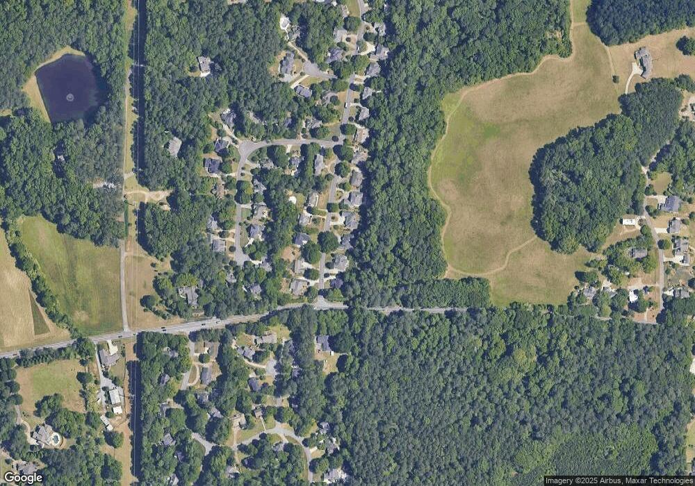
Map
Nearby Homes
- 1803 Stone Bridge Way
- 761 Hardage Farm Dr NW
- 741 Crossfire Ridge NW
- 764 Sharpshooters Ridge NW
- 1416 Walcutts Way NW
- 2150 Unity Trail NW
- 606 Tabbystone St NW
- 608 Tabbystone St NW Unit 2
- 510 Towneside Ln
- 1981 Village Round NW
- 2358 New Salem Trace
- 302 Summer Garden Dr
- 2139 Bramlett Place NW
- 1640 Kenai Rd
- 319 Summer Garden Dr
- 234 Everleigh Way
- 490 Hardage Farm Dr NW Unit 1
- 470 Hardage Farm Dr NW Unit 1
- 460 Hardage Farm Dr NW
- 481 Hardage Farm Dr NW
- 481 Hardage Farm Dr NW
- 491 Hardage Farm Dr NW
- 471 Hardage Farm Dr NW Unit 1
- 510 Hardage Farm Dr NW
- 461 Hardage Farm Dr NW
- 1851 Leonidas Trail NW
- 520 Hardage Farm Dr NW
- 1931 Leonidas Trail NW
- 1861 Leonidas Trail NW Unit 1
- 1921 Leonidas Trail NW
- 1911 Leonidas Trail NW
- 530 Hardage Farm Dr NW
- 1795 Burnt Hickory Rd NW
- 1901 Leonidas Trail NW
- 1941 Leonidas Trail NW
- 1871 Leonidas Trail NW