480 Podlin Dr Franklin Park, IL 60131
--
Bed
--
Bath
--
Sq Ft
1.08
Acres
About This Home
This home is located at 480 Podlin Dr, Franklin Park, IL 60131. 480 Podlin Dr is a home located in Cook County with nearby schools including Westdale Elementary School, Mannheim Middle School, and West Leyden High School.
Ownership History
Date
Name
Owned For
Owner Type
Purchase Details
Closed on
Oct 2, 2012
Sold by
Citibank Na
Bought by
Asap Building Llc
Home Financials for this Owner
Home Financials are based on the most recent Mortgage that was taken out on this home.
Original Mortgage
$134,000
Outstanding Balance
$92,965
Interest Rate
3.55%
Mortgage Type
Commercial
Purchase Details
Closed on
Feb 15, 2011
Sold by
Mancilla Agustin
Bought by
Citibank Na
Purchase Details
Closed on
Nov 15, 2004
Sold by
Lasalle Bank Na
Bought by
Mancilla Agustin and Mancilla Leticia
Home Financials for this Owner
Home Financials are based on the most recent Mortgage that was taken out on this home.
Original Mortgage
$425,000
Interest Rate
5.91%
Mortgage Type
Commercial
Purchase Details
Closed on
Mar 24, 1995
Sold by
First Bank National Assn
Bought by
American National Bank Of Chicago
Create a Home Valuation Report for This Property
The Home Valuation Report is an in-depth analysis detailing your home's value as well as a comparison with similar homes in the area
Home Values in the Area
Average Home Value in this Area
Purchase History
| Date | Buyer | Sale Price | Title Company |
|---|---|---|---|
| Asap Building Llc | $325,000 | None Available | |
| Citibank Na | -- | None Available | |
| Mancilla Agustin | $850,000 | Atgf Inc | |
| American National Bank Of Chicago | $440,000 | -- |
Source: Public Records
Mortgage History
| Date | Status | Borrower | Loan Amount |
|---|---|---|---|
| Open | Asap Building Llc | $134,000 | |
| Previous Owner | Mancilla Agustin | $425,000 | |
| Closed | Mancilla Agustin | $340,000 |
Source: Public Records
Tax History Compared to Growth
Tax History
| Year | Tax Paid | Tax Assessment Tax Assessment Total Assessment is a certain percentage of the fair market value that is determined by local assessors to be the total taxable value of land and additions on the property. | Land | Improvement |
|---|---|---|---|---|
| 2024 | $84,034 | $275,707 | $87,801 | $187,906 |
| 2023 | $81,801 | $275,707 | $87,801 | $187,906 |
| 2022 | $81,801 | $275,707 | $87,801 | $187,906 |
| 2021 | $84,083 | $238,380 | $87,800 | $150,580 |
| 2020 | $79,813 | $238,380 | $87,800 | $150,580 |
| 2019 | $91,059 | $299,628 | $87,800 | $211,828 |
| 2018 | $47,437 | $138,303 | $58,533 | $79,770 |
| 2017 | $47,343 | $138,303 | $58,533 | $79,770 |
| 2016 | $44,639 | $138,303 | $58,533 | $79,770 |
| 2015 | $40,330 | $118,750 | $55,607 | $63,143 |
| 2014 | $39,897 | $118,750 | $55,607 | $63,143 |
| 2013 | $38,289 | $118,750 | $55,607 | $63,143 |
Source: Public Records
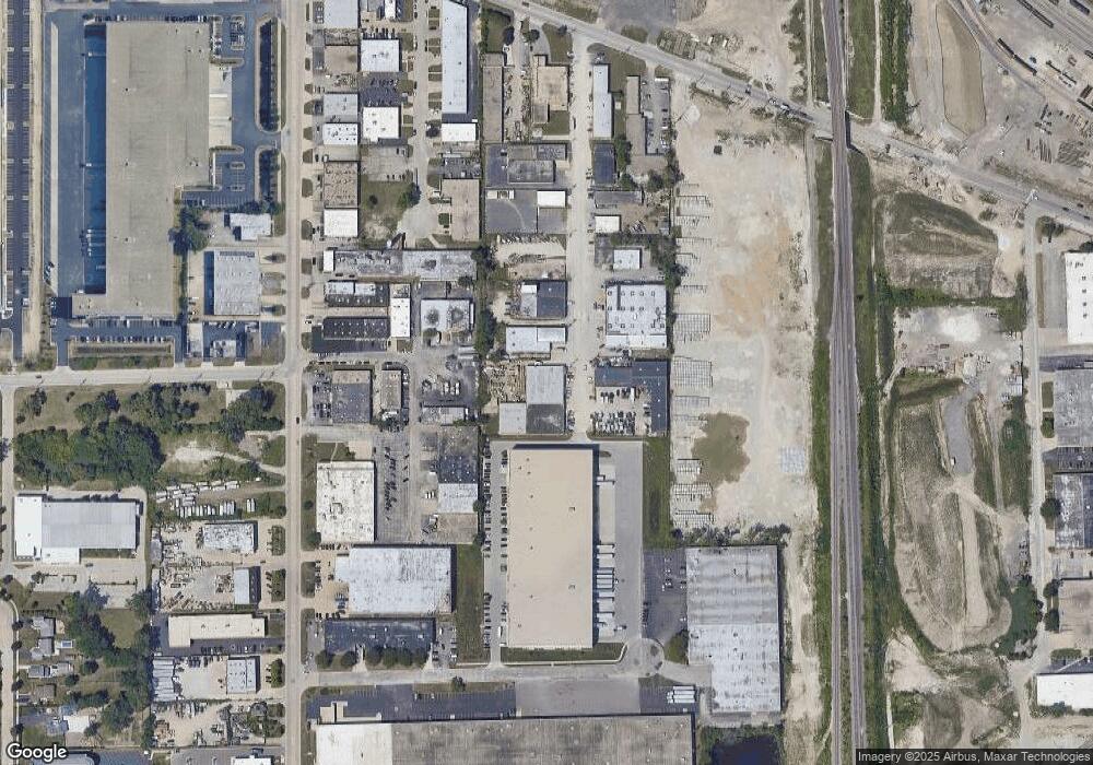
Map
Nearby Homes
- 669 Redmond Ct
- 859 John St
- 809 Brentwood Dr
- 499 Park St Unit 2D
- 342 Diana Ct
- 311 George St
- 3112 Pearl Ave
- 284 E Jefferson St
- 424 May St
- 128 David Dr
- 227-239 W Irving Park Rd
- 11353 W Grand Ave
- 2939 Haber Ave
- 449 S Addison St
- 245 S Addison St
- 1043 S York Rd Unit 209
- 1043 S York Rd Unit 208
- 1043 S York Rd Unit 411
- 1043 S York Rd Unit 605
- 128 N York Rd
- 1071 Waveland Ave
- 485 Podlin Dr
- 1083 Waveland Ave
- 1040 Waveland Ave
- 1095 Waveland Ave
- 447 S County Line Rd
- 441 County Line Rd
- 1055 Sesame St
- 431 Podlin Dr
- 431 Podlin Dr Unit 1
- 520 County Line Rd
- 438 County Line Rd
- 428 County Line Rd
- 422 County Line Rd
- 408 Dominic Ct
- 556 County Line Rd Unit D
- 4N530 County Line Rd
- 570 County Line Rd
- 600 County Line Rd Unit 1NW
- 600 County Line Rd Unit 1N