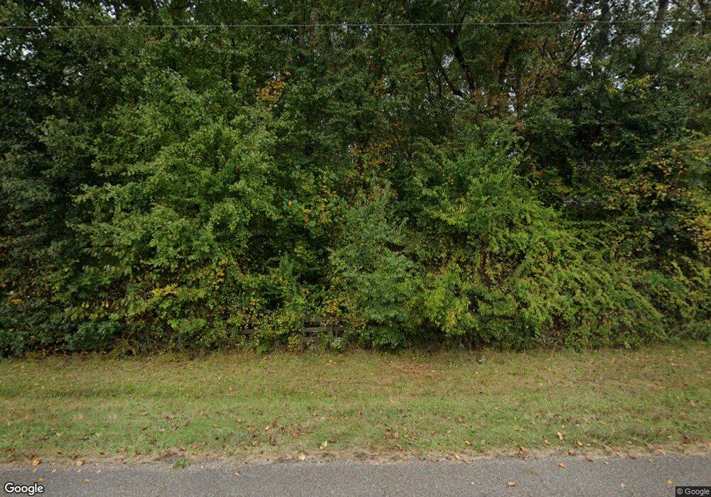
480 Porter Norwood Rd Mansfield, TN 38236
Estimated Value: $419,496 - $805,000
--
Bed
1
Bath
1,260
Sq Ft
$464/Sq Ft
Est. Value
About This Home
This home is located at 480 Porter Norwood Rd, Mansfield, TN 38236 and is currently estimated at $584,124, approximately $463 per square foot. 480 Porter Norwood Rd is a home located in Henry County.
Ownership History
Date
Name
Owned For
Owner Type
Purchase Details
Closed on
Oct 22, 2025
Sold by
Patton Amy Rose
Bought by
Patton Michael Irvin
Current Estimated Value
Purchase Details
Closed on
Aug 17, 2017
Sold by
Toombs Marshall A
Bought by
Patton Michael I and Patton Amy
Home Financials for this Owner
Home Financials are based on the most recent Mortgage that was taken out on this home.
Original Mortgage
$267,750
Interest Rate
3.96%
Mortgage Type
New Conventional
Purchase Details
Closed on
Mar 10, 2008
Sold by
Fossitt Donald C
Bought by
Toombs Marshall A
Home Financials for this Owner
Home Financials are based on the most recent Mortgage that was taken out on this home.
Original Mortgage
$50,000
Interest Rate
5.62%
Mortgage Type
Cash
Purchase Details
Closed on
Nov 17, 2000
Bought by
Fossitt Donald C and Fossitt Janet L
Create a Home Valuation Report for This Property
The Home Valuation Report is an in-depth analysis detailing your home's value as well as a comparison with similar homes in the area
Home Values in the Area
Average Home Value in this Area
Purchase History
| Date | Buyer | Sale Price | Title Company |
|---|---|---|---|
| Patton Michael Irvin | -- | None Listed On Document | |
| Patton Michael I | $315,000 | -- | |
| Toombs Marshall A | $255,000 | -- | |
| Fossitt Donald C | $65,000 | -- |
Source: Public Records
Mortgage History
| Date | Status | Borrower | Loan Amount |
|---|---|---|---|
| Previous Owner | Patton Michael I | $267,750 | |
| Previous Owner | Fossitt Donald C | $50,000 |
Source: Public Records
Tax History Compared to Growth
Tax History
| Year | Tax Paid | Tax Assessment Tax Assessment Total Assessment is a certain percentage of the fair market value that is determined by local assessors to be the total taxable value of land and additions on the property. | Land | Improvement |
|---|---|---|---|---|
| 2024 | $1,020 | $52,750 | $17,675 | $35,075 |
| 2023 | $999 | $52,750 | $17,675 | $35,075 |
| 2022 | $999 | $52,750 | $17,675 | $35,075 |
| 2021 | $999 | $52,750 | $17,675 | $35,075 |
| 2020 | $999 | $52,750 | $17,675 | $35,075 |
| 2019 | $954 | $45,600 | $14,500 | $31,100 |
| 2018 | $954 | $45,600 | $14,500 | $31,100 |
| 2017 | $954 | $45,600 | $14,500 | $31,100 |
| 2016 | $940 | $45,600 | $14,500 | $31,100 |
| 2015 | $1,002 | $45,600 | $14,500 | $31,100 |
| 2014 | $918 | $45,600 | $14,500 | $31,100 |
| 2013 | $918 | $41,786 | $0 | $0 |
Source: Public Records
Map
Nearby Homes
- 365 Little Benton Rd
- 8225 Reynoldsburg Rd
- 2982 Harvey Bowden Rd
- 0 Travis Boyd Rd
- 000 Williams Grove Rd
- 2226 Swor Rd
- 0 Copper Spring Rd
- 32 Copper Spring Rd
- 628 Shiloh Church Rd
- 00 Liberty Rd
- 0 Ephesus Church Rd Unit RTC2982194
- 0 Ephesus Church Rd Unit 24353747
- 0 Ephesus Church Rd Unit 134529
- 4820 Highway 641 N
- 179 French Ln
- 8202 State Highway 69 S
- Summerwood Estates Rd
- 0 Hwy 641 N Unit 134811
- 0 Hwy 641 N Unit RTC2699308
- 0 Hwy 641 N Unit 124817
- 480 Porter Norwood Rd
- 370 Porter Norwood Rd
- 230 Porter Norwood Rd
- 150 Porter Norwood Rd
- 725 Porter Norwood Rd
- 195 Porter Norwood Rd
- 255 Porter Norwood Rd
- 130 Porter Norwood Rd
- 25 Porter Norwood Rd
- 1710 Pleasant Hill Rd
- 1110 Porter Norwood Rd
- 1965 Pleasant Hill Rd
- 1175 Pleasant Hill Rd
- 477 Little Benton Rd
- 0 Little Benton Rd Unit 109943
- 1375 Porter Norwood Rd
- 710 Little Benton Rd
- 1084 Little Benton Rd
- 825 Little Benton Rd
- 2465 Pleasant Hill Rd
