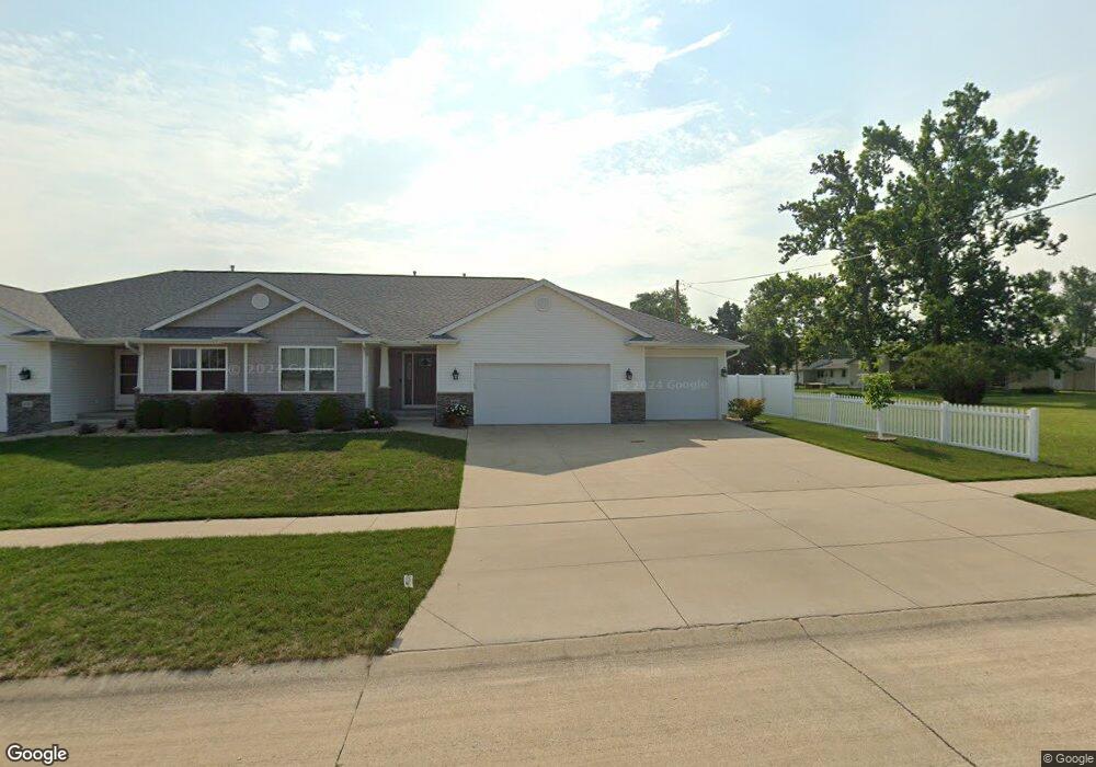
480 Rogers St Robins, IA 52328
Estimated Value: $326,000 - $374,000
3
Beds
--
Bath
1,592
Sq Ft
$220/Sq Ft
Est. Value
About This Home
This home is located at 480 Rogers St, Robins, IA 52328 and is currently estimated at $350,428, approximately $220 per square foot. 480 Rogers St is a home with nearby schools including Nixon Elementary School, Ponderosa Elementary School, and Harding Middle School.
Ownership History
Date
Name
Owned For
Owner Type
Purchase Details
Closed on
Jun 27, 2011
Sold by
Dcw Properties Lc
Bought by
Barth David Lee and Barth Cathey Cay
Current Estimated Value
Home Financials for this Owner
Home Financials are based on the most recent Mortgage that was taken out on this home.
Original Mortgage
$100,000
Outstanding Balance
$67,118
Interest Rate
4%
Mortgage Type
Construction
Estimated Equity
$283,310
Create a Home Valuation Report for This Property
The Home Valuation Report is an in-depth analysis detailing your home's value as well as a comparison with similar homes in the area
Home Values in the Area
Average Home Value in this Area
Purchase History
| Date | Buyer | Sale Price | Title Company |
|---|---|---|---|
| Barth David Lee | $19,500 | None Available |
Source: Public Records
Mortgage History
| Date | Status | Borrower | Loan Amount |
|---|---|---|---|
| Open | Barth David Lee | $100,000 |
Source: Public Records
Tax History Compared to Growth
Tax History
| Year | Tax Paid | Tax Assessment Tax Assessment Total Assessment is a certain percentage of the fair market value that is determined by local assessors to be the total taxable value of land and additions on the property. | Land | Improvement |
|---|---|---|---|---|
| 2025 | $3,816 | $341,800 | $31,500 | $310,300 |
| 2024 | $4,110 | $300,300 | $31,500 | $268,800 |
| 2023 | $4,110 | $300,300 | $31,500 | $268,800 |
| 2022 | $4,376 | $278,600 | $31,500 | $247,100 |
| 2021 | $4,340 | $278,600 | $31,500 | $247,100 |
| 2020 | $4,340 | $256,700 | $31,500 | $225,200 |
| 2019 | $4,022 | $242,700 | $25,200 | $217,500 |
| 2018 | $3,954 | $242,700 | $25,200 | $217,500 |
| 2017 | $4,192 | $248,300 | $25,200 | $223,100 |
| 2016 | $4,272 | $248,300 | $25,200 | $223,100 |
| 2015 | $4,286 | $248,300 | $25,200 | $223,100 |
| 2014 | $4,136 | $248,300 | $25,200 | $223,100 |
| 2013 | $4,042 | $248,300 | $25,200 | $223,100 |
Source: Public Records
Map
Nearby Homes
- 165 Timber Ln
- 1332 Stratton Dr NE
- 8926 Norway Dr NE
- 8908 Norway Dr NE
- 9124 Grand Oaks Dr NE
- 8809 Middlebury Ct NE
- 9014 Grand Oaks Dr NE
- 70.78 Acres M L Quass Rd
- 8201 Council St NE
- 1623 Petrus Dr NE
- 560 Ryker St
- 620 Hampton St
- 570 Hampton St
- 540 Hampton St
- 560 Hampton St
- 590 Hampton St
- 600 Hampton St
- 500 Hampton St
- 545 Hampton St
- 580 Hampton St
- 470 Rogers St
- 525 Shannon Dr
- 535 Shannon Dr
- 500 Freeseway Dr
- 530 Freeseway Dr
- 475 Shannon Dr
- 545 Shannon Dr
- 500 Shannon Dr
- 560 Freeseway Dr
- 555 Shannon Dr
- 460 Freeseway Dr
- 480 Shannon Dr
- 455 Shannon Dr
- 475 Joshua Ln
- 460 Shannon Dr
- 490 Joshua Ln
- 590 Freeseway Dr
- 450 Shannon Dr
- 595 Shannon Dr
- 445 Shannon Dr