Estimated Value: $447,094 - $497,000
3
Beds
3
Baths
1,597
Sq Ft
$290/Sq Ft
Est. Value
About This Home
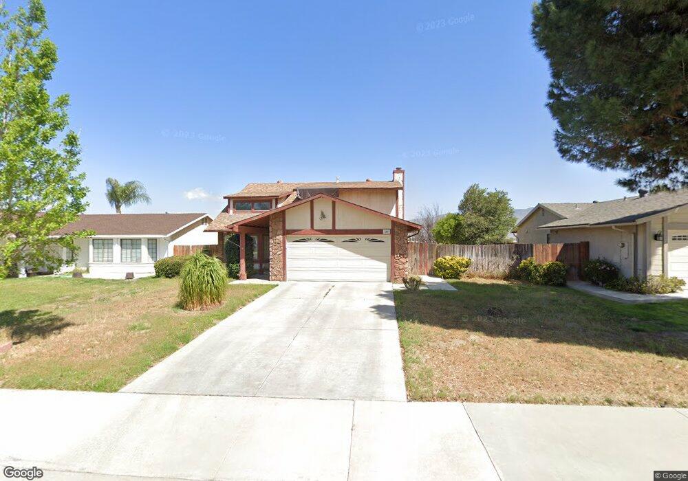
This home is located at 480 Taft Ave, Hemet, CA 92543 and is currently estimated at $463,024, approximately $289 per square foot. 480 Taft Ave is a home located in Riverside County with nearby schools including Park Hill Elementary School, North Mountain Middle School, and San Jacinto High School.
Ownership History
Date
Name
Owned For
Owner Type
Purchase Details
Closed on
Jan 11, 2000
Sold by
Laumen Mathieu G and Laumen Alwine
Bought by
Romero Julian A and Vitar Narry R
Current Estimated Value
Home Financials for this Owner
Home Financials are based on the most recent Mortgage that was taken out on this home.
Original Mortgage
$105,629
Outstanding Balance
$33,637
Interest Rate
7.87%
Mortgage Type
FHA
Estimated Equity
$429,387
Create a Home Valuation Report for This Property
The Home Valuation Report is an in-depth analysis detailing your home's value as well as a comparison with similar homes in the area
Home Values in the Area
Average Home Value in this Area
Purchase History
| Date | Buyer | Sale Price | Title Company |
|---|---|---|---|
| Romero Julian A | $108,000 | First American Title Co |
Source: Public Records
Mortgage History
| Date | Status | Borrower | Loan Amount |
|---|---|---|---|
| Open | Romero Julian A | $105,629 |
Source: Public Records
Tax History Compared to Growth
Tax History
| Year | Tax Paid | Tax Assessment Tax Assessment Total Assessment is a certain percentage of the fair market value that is determined by local assessors to be the total taxable value of land and additions on the property. | Land | Improvement |
|---|---|---|---|---|
| 2025 | $1,985 | $162,889 | $38,406 | $124,483 |
| 2023 | $1,985 | $156,565 | $36,915 | $119,650 |
| 2022 | $1,942 | $153,496 | $36,192 | $117,304 |
| 2021 | $1,830 | $150,487 | $35,483 | $115,004 |
| 2020 | $1,823 | $148,945 | $35,120 | $113,825 |
| 2019 | $1,788 | $146,026 | $34,432 | $111,594 |
| 2018 | $1,755 | $143,163 | $33,758 | $109,405 |
| 2017 | $1,719 | $140,357 | $33,097 | $107,260 |
| 2016 | $1,643 | $137,606 | $32,449 | $105,157 |
| 2015 | $1,621 | $135,541 | $31,962 | $103,579 |
| 2014 | $1,575 | $132,888 | $31,337 | $101,551 |
Source: Public Records
Map
Nearby Homes
- 931 Donner St
- 860 Polk Ct
- 308 Bristolwood Rd
- 769 Harding St
- 920 N Palm Ave
- 731 Buchanan St
- 881 Don Dr
- 1060 Pertano Ln
- 681 Taschner Dr
- 1097 N State St Unit 557
- 1097 N State St Unit 194
- 1097 N State St Unit 186
- 1097 N State St Unit 49
- 1097 N State St Unit 206
- 1097 N State St Unit 515
- 1097 N State St Unit 151
- 876 Aria Rd
- 1145 Viento Dr
- 585 De Soto Dr
- 675 W Oakland Ave Unit A-4
- 460 Taft Ave
- 500 Taft Ave
- 440 Taft Ave
- 520 Taft Ave
- 484 W Fruitvale Ave
- 878 Harding St
- 504 W Fruitvale Ave
- 464 W Fruitvale Ave
- 420 Taft Ave
- 889 Harding St
- 540 Taft Ave
- 524 W Fruitvale Ave
- 877 Truman Ct
- 434 W Fruitvale Ave
- 864 Harding St
- 875 Harding St
- 400 Taft Ave
- 560 Taft Ave
- 878 Fillmore Ct
- 544 W Fruitvale Ave