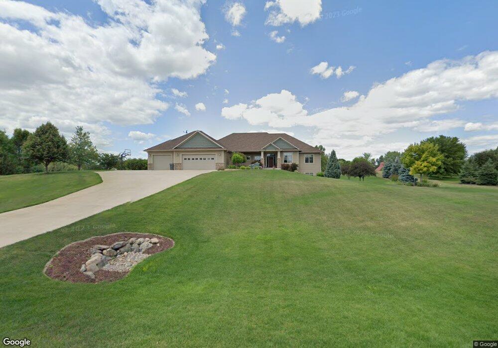
480 Theis Dr Shakopee, MN 55379
Estimated Value: $730,000 - $1,345,000
5
Beds
5
Baths
2,326
Sq Ft
$465/Sq Ft
Est. Value
About This Home
This home is located at 480 Theis Dr, Shakopee, MN 55379 and is currently estimated at $1,082,664, approximately $465 per square foot. 480 Theis Dr is a home located in Scott County with nearby schools including Sweeney Elementary School, East Middle School, and Shakopee Senior High School.
Ownership History
Date
Name
Owned For
Owner Type
Purchase Details
Closed on
Mar 26, 2013
Sold by
Curtis Darlene L and Ostrem Darlene L
Bought by
Dehne Jon W and Dehne Leslie J
Current Estimated Value
Purchase Details
Closed on
Dec 20, 2012
Sold by
Curtis Darlene L and Ostrem Darlene L
Bought by
Dehne Jon W and Dehne Leslie J
Home Financials for this Owner
Home Financials are based on the most recent Mortgage that was taken out on this home.
Original Mortgage
$80,000
Interest Rate
5%
Mortgage Type
Seller Take Back
Create a Home Valuation Report for This Property
The Home Valuation Report is an in-depth analysis detailing your home's value as well as a comparison with similar homes in the area
Home Values in the Area
Average Home Value in this Area
Purchase History
| Date | Buyer | Sale Price | Title Company |
|---|---|---|---|
| Dehne Jon W | $110,000 | Scott County Abstract & Titl | |
| Dehne Jon W | $110,000 | Scott County Abstract & Titl |
Source: Public Records
Mortgage History
| Date | Status | Borrower | Loan Amount |
|---|---|---|---|
| Previous Owner | Dehne Jon W | $80,000 |
Source: Public Records
Tax History
| Year | Tax Paid | Tax Assessment Tax Assessment Total Assessment is a certain percentage of the fair market value that is determined by local assessors to be the total taxable value of land and additions on the property. | Land | Improvement |
|---|---|---|---|---|
| 2025 | $7,458 | $991,100 | $290,400 | $700,700 |
| 2024 | $7,566 | $871,600 | $257,600 | $614,000 |
| 2023 | $7,386 | $864,500 | $247,100 | $617,400 |
| 2022 | $7,318 | $835,600 | $237,500 | $598,100 |
| 2021 | $6,700 | $712,200 | $169,400 | $542,800 |
| 2020 | $7,574 | $720,700 | $178,900 | $541,800 |
| 2019 | $7,802 | $698,400 | $168,800 | $529,600 |
| 2018 | $6,730 | $0 | $0 | $0 |
| 2016 | $7,234 | $0 | $0 | $0 |
Source: Public Records
Map
Nearby Homes
- 447 Theis Dr
- 630 Tyrol Ln
- 746 Peninsula Point Rd
- 981 Peninsula Point Rd
- XXX 160th St
- 13950 Marystown Rd
- 13720 Marystown Rd
- 2XX Stonebrooke Curve
- 3XX Stonebrooke Curve
- 1655 Shasta Dr
- 1657 Shasta Dr
- 1661 Shasta Dr
- 1613 Shasta Dr
- 1679 Shasta Dr
- 2490 Cambridge Way
- 1671 Shasta Dr
- 1830 Marsh View Terrace
- 1634 Denali Dr
- 1874 Marsh View Terrace
- 1896 Marsh View Terrace
Your Personal Tour Guide
Ask me questions while you tour the home.