Estimated Value: $69,000 - $276,000
3
Beds
1
Bath
1,464
Sq Ft
$115/Sq Ft
Est. Value
About This Home
This home is located at 480 Twin Oaks Rd, Cairo, WV 26337 and is currently estimated at $168,418, approximately $115 per square foot. 480 Twin Oaks Rd is a home located in Ritchie County with nearby schools including Ritchie County High School.
Ownership History
Date
Name
Owned For
Owner Type
Purchase Details
Closed on
Jul 1, 2022
Sold by
Rippy Timothy W and Rippy Tina M
Bought by
Snyder Noah Randall
Current Estimated Value
Home Financials for this Owner
Home Financials are based on the most recent Mortgage that was taken out on this home.
Original Mortgage
$228,000
Outstanding Balance
$205,775
Interest Rate
5.25%
Mortgage Type
New Conventional
Estimated Equity
-$37,357
Purchase Details
Closed on
Jan 5, 2021
Sold by
Rippy Cody W
Bought by
Boley Norman B and Boley Ishtar L
Purchase Details
Closed on
May 30, 2006
Sold by
Cronin Jeffrey L and Cronin Tamela L
Bought by
Rippy Timothy W and Rippy Tina M
Create a Home Valuation Report for This Property
The Home Valuation Report is an in-depth analysis detailing your home's value as well as a comparison with similar homes in the area
Home Values in the Area
Average Home Value in this Area
Purchase History
| Date | Buyer | Sale Price | Title Company |
|---|---|---|---|
| Snyder Noah Randall | $285,000 | Raber Justin M | |
| Snyder Noah Randall | $285,000 | None Listed On Document | |
| Boley Norman B | $50,000 | None Available | |
| Rippy Timothy W | $11,500 | -- |
Source: Public Records
Mortgage History
| Date | Status | Borrower | Loan Amount |
|---|---|---|---|
| Open | Snyder Noah Randall | $228,000 | |
| Closed | Snyder Noah Randall | $228,000 |
Source: Public Records
Tax History Compared to Growth
Tax History
| Year | Tax Paid | Tax Assessment Tax Assessment Total Assessment is a certain percentage of the fair market value that is determined by local assessors to be the total taxable value of land and additions on the property. | Land | Improvement |
|---|---|---|---|---|
| 2024 | $415 | $38,280 | $6,600 | $31,680 |
| 2023 | $404 | $37,080 | $6,480 | $30,600 |
| 2022 | $400 | $36,300 | $5,880 | $30,420 |
| 2021 | $374 | $33,900 | $5,880 | $28,020 |
| 2020 | $365 | $33,060 | $5,880 | $27,180 |
| 2019 | $363 | $32,880 | $5,880 | $27,000 |
| 2018 | $358 | $32,280 | $5,880 | $26,400 |
| 2017 | $347 | $31,320 | $5,880 | $25,440 |
| 2016 | $343 | $30,960 | $5,880 | $25,080 |
| 2015 | $370 | $30,420 | $5,880 | $24,540 |
| 2014 | $370 | $33,240 | $6,240 | $27,000 |
Source: Public Records
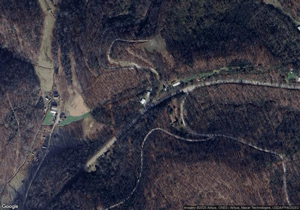
Map
Nearby Homes
- 4386 Middle Island Creek Rd
- 0 Layfield Run
- 0 Layfield Run Rd
- 0 County Route 22
- 964 Nine Mile Rd
- 25 Moody Ln
- 909 Kings Ridge Rd
- 126 Madison St E
- 1023 E Washington Ave Unit A
- 9045 Glendale Rd
- 3367 Shields Hill Rd
- 300 Long Run
- 3063 Hebron Rd
- 12195 Hebron Rd
- 3170 Victory Ridge Rd
- 256 Little Ridge Rd
- 310 Barkwill St
- 823 Greens Run Rd
- 721 5th St
- 805 4th St
- 19 Twin Oaks Rd
- 3867 Glendale Rd
- 40 Roxy Ln
- 0 Pine Rd Unit 4486689
- 0 Pine Rd Unit Lot 1 4393099
- 809 Pine Grove Rd
- 3289 Glendale Rd
- 4183 Glendale Rd
- 3487 County Line Rd
- 2742 County Line Rd
- 3187 Glendale Rd
- 0 Wolf Pen
- 4427 Glendale Rd
- 3060 Glendale Rd
- 2415 County Line Rd
- 4474 Glendale Rd
- 2474 Cty Line Rd
- 20 Ronald Ln