480 Upper Rd Sheridan, WY 82801
Estimated Value: $705,000 - $858,220
--
Bed
2
Baths
1,640
Sq Ft
$476/Sq Ft
Est. Value
About This Home
This home is located at 480 Upper Rd, Sheridan, WY 82801 and is currently estimated at $781,073, approximately $476 per square foot. 480 Upper Rd is a home with nearby schools including Sheridan High School.
Ownership History
Date
Name
Owned For
Owner Type
Purchase Details
Closed on
Jan 17, 2025
Sold by
Forbes Family Ranch Limited Liability Co
Bought by
Forbes Keenan Alexander and Durkin Ellen Forbes
Current Estimated Value
Purchase Details
Closed on
Sep 16, 2024
Sold by
Lloyd Charles F
Bought by
Broderick Properties Llc
Purchase Details
Closed on
Aug 5, 2022
Sold by
Charlson Duane R and Charlson Katie A
Bought by
Duane And Katie Charlson Trust
Create a Home Valuation Report for This Property
The Home Valuation Report is an in-depth analysis detailing your home's value as well as a comparison with similar homes in the area
Home Values in the Area
Average Home Value in this Area
Purchase History
| Date | Buyer | Sale Price | Title Company |
|---|---|---|---|
| Forbes Keenan Alexander | -- | None Listed On Document | |
| Broderick Properties Llc | -- | None Listed On Document | |
| Duane And Katie Charlson Trust | -- | -- |
Source: Public Records
Tax History Compared to Growth
Tax History
| Year | Tax Paid | Tax Assessment Tax Assessment Total Assessment is a certain percentage of the fair market value that is determined by local assessors to be the total taxable value of land and additions on the property. | Land | Improvement |
|---|---|---|---|---|
| 2025 | $4,883 | $57,748 | $24,573 | $33,175 |
| 2024 | $4,883 | $73,428 | $32,764 | $40,664 |
| 2023 | $4,719 | $70,957 | $30,488 | $40,469 |
| 2022 | $3,906 | $58,732 | $25,028 | $33,704 |
| 2021 | $3,362 | $50,555 | $21,160 | $29,395 |
| 2020 | $2,983 | $44,854 | $15,595 | $29,259 |
| 2019 | $2,940 | $44,209 | $15,595 | $28,614 |
| 2018 | $2,742 | $41,233 | $14,555 | $26,678 |
| 2017 | $2,727 | $41,005 | $14,139 | $26,866 |
| 2015 | $2,596 | $39,034 | $11,839 | $27,195 |
| 2014 | $2,457 | $36,946 | $8,791 | $28,155 |
| 2013 | -- | $40,256 | $8,791 | $31,465 |
Source: Public Records
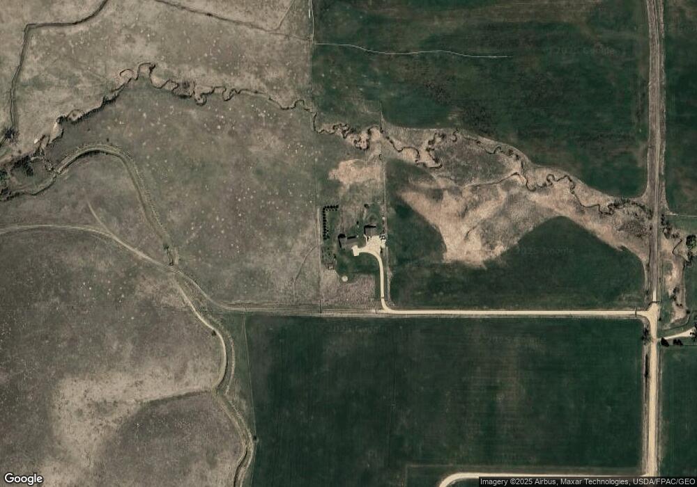
Map
Nearby Homes
- TBD Upper Rd
- 18 Cessna Rd
- 18 Convair Rd
- 11 Piccard Rd
- TDB Piccard St Unit Lot 23
- TBD Convair Rd Unit Lot 46
- TBD Convair Rd Unit Lot 44
- TBD Convair Rd Unit Lot 42
- TBD Piccard Rd Unit Lot 31
- TBD Piccard Rd Unit Lot 29
- TBD Piccard Rd Unit Lot 27
- TBD Piccard Rd Unit Lot 26
- TBD Piccard Rd Unit Lot 24
- TBD Piccard Rd Unit Lot 19
- TBD Piccard Rd Unit Lot 15
- TBD Piccard Rd Unit Lot 22
- TBD Piccard Rd Unit Lot 21
- TBD Piccard Rd Unit Lot 25
- 17 Golf Course Rd
- 400 Legacy Rd
- Tbd N Upper Rd
- 479 Upper Rd
- Tract 2 Upper Rd
- Tract 1 W Upper Rd
- Tract 1 E Upper Rd
- Tract 4 Upper Rd
- Tract 3 Upper Rd
- 449 Upper Rd
- 120 N Park Rd
- 439 Upper Rd
- 8 Paradise Dr
- 433 Upper Rd
- 16 Paradise Dr
- 429 Upper Rd
- 14 Paradise Dr
- 11 Paradise Dr
- 104 N Park Rd
- 18 Paradise Dr
- 15 Paradise Dr
- 22 Paradise Dr