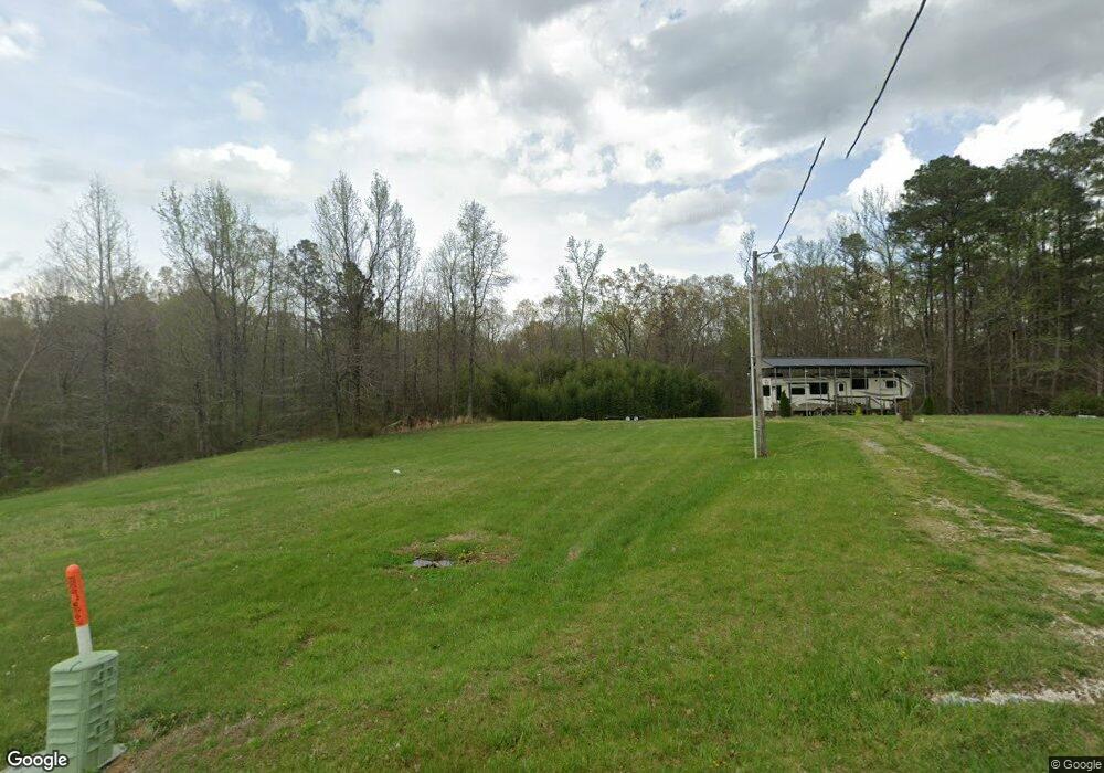
4800 Liberty Rd Camden, TN 38320
Estimated Value: $67,091 - $197,000
--
Bed
--
Bath
--
Sq Ft
2.8
Acres
About This Home
This home is located at 4800 Liberty Rd, Camden, TN 38320 and is currently estimated at $122,773. 4800 Liberty Rd is a home with nearby schools including Camden Elementary School, Briarwood School, and Camden Junior High School.
Ownership History
Date
Name
Owned For
Owner Type
Purchase Details
Closed on
Feb 19, 2021
Sold by
Jenkins James S and Jenkins Kaye Lyn
Bought by
Vick Stephen L and Vick Tracy C
Current Estimated Value
Purchase Details
Closed on
Jun 23, 2016
Sold by
Jenkins James S
Bought by
Jenkins Taylor Scott
Purchase Details
Closed on
Jul 13, 2015
Sold by
Roberts Tina C
Bought by
Jenkins James S and Jenkins Kaye Lyn
Purchase Details
Closed on
Jun 5, 2015
Sold by
Lowe Harold
Bought by
Roberts Tina C and Robinson James H
Purchase Details
Closed on
Apr 26, 1976
Bought by
Lowe Harold and Lowe Carolyn
Create a Home Valuation Report for This Property
The Home Valuation Report is an in-depth analysis detailing your home's value as well as a comparison with similar homes in the area
Home Values in the Area
Average Home Value in this Area
Purchase History
| Date | Buyer | Sale Price | Title Company |
|---|---|---|---|
| Vick Stephen L | $10,000 | None Available | |
| Jenkins Taylor Scott | -- | -- | |
| Jenkins James S | $5,000 | -- | |
| Roberts Tina C | -- | -- | |
| Lowe Harold | -- | -- |
Source: Public Records
Tax History Compared to Growth
Tax History
| Year | Tax Paid | Tax Assessment Tax Assessment Total Assessment is a certain percentage of the fair market value that is determined by local assessors to be the total taxable value of land and additions on the property. | Land | Improvement |
|---|---|---|---|---|
| 2024 | $96 | $3,525 | $2,450 | $1,075 |
| 2023 | $96 | $3,525 | $2,450 | $1,075 |
| 2022 | $68 | $2,500 | $2,450 | $50 |
| 2021 | $68 | $2,500 | $2,450 | $50 |
| 2020 | $68 | $2,500 | $2,450 | $50 |
| 2019 | $74 | $2,500 | $2,450 | $50 |
| 2018 | $74 | $2,500 | $2,450 | $50 |
| 2017 | $74 | $2,500 | $2,450 | $50 |
| 2016 | $74 | $2,500 | $2,450 | $50 |
| 2015 | $75 | $2,500 | $2,450 | $50 |
| 2014 | $181 | $6,025 | $2,450 | $3,575 |
| 2013 | $181 | $6,156 | $0 | $0 |
Source: Public Records
Map
Nearby Homes
- 000 Williams Grove Rd
- 4820 Highway 641 N
- 0 Hwy 641 N Unit 134811
- 0 Hwy 641 N Unit RTC2699308
- 0 Hwy 641 N Unit 131394
- 0 Hwy 641 N Unit 124817
- 0 Asbury Rd
- 309 Asbury Rd
- 000 Cedar Dr
- 0 Cedar Dr
- 3636 Reynoldsburg Rd
- 365 Little Benton Rd
- 1905 Post Oak Rd
- 0 Firetower Rd
- 424 Firetower Rd
- 2250 Highway 69a
- 435 Bills Dr
- 175 Rolling Oak Dr
- 2642 Mount Carmel Rd
- 8225 Reynoldsburg Rd
- 4805 Liberty Rd
- 5035 Liberty Rd
- 5090 Liberty Rd
- 4440 Liberty Rd
- 1175 Pleasant Hill Rd
- 0 Pleasant Hill Ln
- 1030 Pleasant Hill Rd
- 200 Pleasant Hill Ln
- 925 Pleasant Hill Rd
- 245 Clement Dr
- 1255 Pleasant Hill Rd
- 66 Pleasant Hill Ln
- 4265 Liberty Rd
- 900 Pleasant Hill Rd
- 8230 Big Sandy River Rd
- 4160 Liberty Rd
- 1385 Pleasant Hill Rd
- 7920 Big Sandy River Rd
- 4100 Liberty Rd
- 8460 Big Sandy River Rd