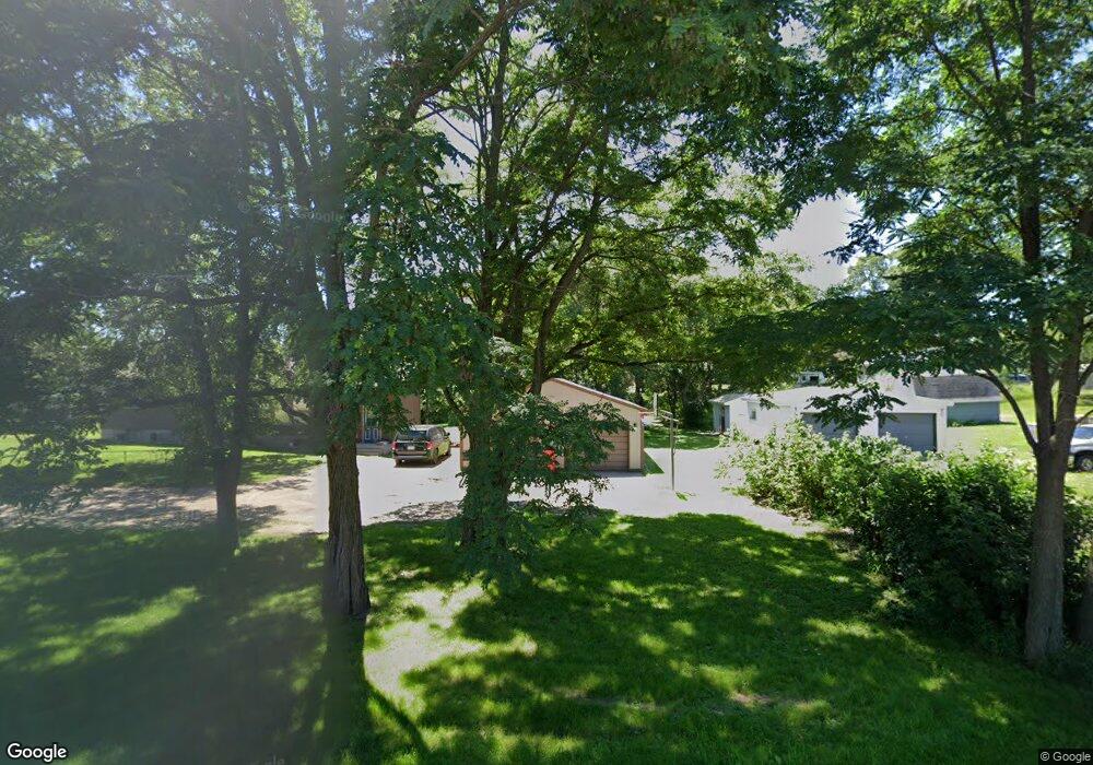
4801 Bridgewater Rd South Haven, MN 55382
Estimated Value: $236,000 - $282,000
3
Beds
2
Baths
1,396
Sq Ft
$186/Sq Ft
Est. Value
About This Home
This home is located at 4801 Bridgewater Rd, South Haven, MN 55382 and is currently estimated at $259,891, approximately $186 per square foot. 4801 Bridgewater Rd is a home located in Stearns County with nearby schools including Kimball Elementary School and Kimball High School.
Ownership History
Date
Name
Owned For
Owner Type
Purchase Details
Closed on
Sep 16, 2025
Sold by
Laney Joshua and Laney Kasey
Bought by
Laney Joshua and Laney Kasey
Current Estimated Value
Purchase Details
Closed on
Feb 26, 2010
Sold by
Deutsche Bank National Trust Company
Bought by
Laney Joshua
Purchase Details
Closed on
Feb 27, 2004
Sold by
Duncan Terrance
Bought by
Carlson Michael
Create a Home Valuation Report for This Property
The Home Valuation Report is an in-depth analysis detailing your home's value as well as a comparison with similar homes in the area
Home Values in the Area
Average Home Value in this Area
Purchase History
| Date | Buyer | Sale Price | Title Company |
|---|---|---|---|
| Laney Joshua | $500 | Northland Title | |
| Laney Joshua | $88,400 | -- | |
| Laney Joshua | $88,406 | -- | |
| Carlson Michael | $141,000 | -- |
Source: Public Records
Tax History Compared to Growth
Tax History
| Year | Tax Paid | Tax Assessment Tax Assessment Total Assessment is a certain percentage of the fair market value that is determined by local assessors to be the total taxable value of land and additions on the property. | Land | Improvement |
|---|---|---|---|---|
| 2025 | $1,878 | $226,500 | $49,400 | $177,100 |
| 2024 | $1,930 | $226,600 | $49,400 | $177,200 |
| 2023 | $1,808 | $222,800 | $49,400 | $173,400 |
| 2022 | $1,606 | $167,300 | $41,000 | $126,300 |
| 2021 | $1,734 | $167,300 | $41,000 | $126,300 |
| 2020 | $1,614 | $168,400 | $41,000 | $127,400 |
| 2019 | $1,488 | $157,000 | $34,600 | $122,400 |
| 2018 | $1,348 | $129,500 | $27,300 | $102,200 |
| 2017 | $1,260 | $116,500 | $25,300 | $91,200 |
| 2016 | $1,162 | $0 | $0 | $0 |
| 2015 | $1,094 | $0 | $0 | $0 |
| 2014 | -- | $0 | $0 | $0 |
Source: Public Records
Map
Nearby Homes
- 14XXX County Road 44
- 10848 Porter Ave NW
- 16698 109th St NW
- 10368 Oliver Ave NW
- 10399 Reardon Ave NW
- 13943 102nd St NW
- 13934 101st St NW
- 13496 Campfire Cir
- 2060 Clearwater Forest Dr
- South Tract A TBD County Road 45
- North Tract B TBD County Road 45
- 8537 Pittman Ave NW
- 125 Cedar St SE
- 148 Cedar St SE
- 118 Cedar St SE
- 847 Walnut Ave SE
- 0 80th St NW
- 11780 103rd St NW
- 16307 78th Ave
- 226 Quill St NE
- 13628 County Road 7
- 13586 County Road 7
- 4797 Bridgewater Rd
- 4842 Bridgewater Rd
- 13637 County Road 7
- 4764 Bridgewater Rd
- 4762 Bridgewater Rd
- 13601 County Road 7
- 4735 Bridgewater Rd
- 13722 County Road 7
- 4713 Bridgewater Rd
- 4921 County Road 44
- 13628 49th Ave
- 13642 49th Ave
- 4816 138th St
- 4686 Bridgewater Rd
- 13602 49th Ave
- 13600 49th Ave
- 13612 49th Ave
- 4852 138th St