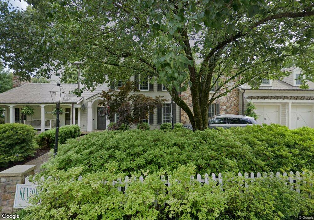
4801 Hawthorne Rd Little Rock, AR 72207
Heights NeighborhoodEstimated Value: $1,297,000 - $1,665,000
--
Bed
5
Baths
3,599
Sq Ft
$427/Sq Ft
Est. Value
About This Home
This home is located at 4801 Hawthorne Rd, Little Rock, AR 72207 and is currently estimated at $1,535,600, approximately $426 per square foot. 4801 Hawthorne Rd is a home located in Pulaski County with nearby schools including Forest Park Elementary School, Pulaski Heights Middle School, and Central High School.
Ownership History
Date
Name
Owned For
Owner Type
Purchase Details
Closed on
Jun 6, 2016
Sold by
Jones David G and Jones Elizabeth Ann
Bought by
Jones David Gerard and Jones Elizabeth Ann
Current Estimated Value
Purchase Details
Closed on
Jun 19, 2009
Sold by
Walt James R
Bought by
Jones David G and Jones Elizabeth Ann
Home Financials for this Owner
Home Financials are based on the most recent Mortgage that was taken out on this home.
Original Mortgage
$417,000
Interest Rate
4.53%
Mortgage Type
New Conventional
Create a Home Valuation Report for This Property
The Home Valuation Report is an in-depth analysis detailing your home's value as well as a comparison with similar homes in the area
Home Values in the Area
Average Home Value in this Area
Purchase History
| Date | Buyer | Sale Price | Title Company |
|---|---|---|---|
| Jones David Gerard | -- | Attorney | |
| Jones David G | $700,000 | Lenders Title Company |
Source: Public Records
Mortgage History
| Date | Status | Borrower | Loan Amount |
|---|---|---|---|
| Closed | Jones David G | $417,000 |
Source: Public Records
Tax History Compared to Growth
Tax History
| Year | Tax Paid | Tax Assessment Tax Assessment Total Assessment is a certain percentage of the fair market value that is determined by local assessors to be the total taxable value of land and additions on the property. | Land | Improvement |
|---|---|---|---|---|
| 2024 | $13,786 | $280,458 | $119,000 | $161,458 |
| 2023 | $13,786 | $280,458 | $119,000 | $161,458 |
| 2022 | $13,159 | $280,458 | $119,000 | $161,458 |
| 2021 | $12,622 | $194,770 | $90,440 | $104,330 |
| 2020 | $11,657 | $194,770 | $90,440 | $104,330 |
| 2019 | $11,155 | $194,770 | $90,440 | $104,330 |
| 2018 | $10,679 | $194,770 | $90,440 | $104,330 |
| 2017 | $10,178 | $194,770 | $90,440 | $104,330 |
| 2016 | $9,677 | $143,240 | $74,520 | $68,720 |
| 2015 | $10,041 | $143,240 | $74,520 | $68,720 |
| 2014 | $10,041 | $143,240 | $74,520 | $68,720 |
Source: Public Records
Map
Nearby Homes
- 5012 Hawthorne Rd
- 5019 Country Club Blvd
- 5100 Country Club Blvd
- 5111 Hawthorne Rd
- 1920 Beechwood St
- 1816 N Jackson St
- 5205 Kavanaugh Blvd
- 5319 Country Club Blvd
- 4817 Kavanaugh Blvd
- 5410 Stonewall Rd
- 5135 Cantrell Rd
- 5024 Crestwood Dr
- 1801 N Harrison St
- 5520 Hawthorne Rd
- 5015 E Crestwood Dr
- 1615 N Taylor St
- 2919 N Fillmore St
- 1109 N Spruce St
- 1 Treetops Ln
- 5624 N Grandview St
- 2212 N Spruce St
- 4815 Hawthorne Rd
- 4800 Hawthorne Rd
- 4819 Hawthorne Rd
- 2204 N Spruce St
- 2223 N Spruce St
- 2221 N Spruce St
- 4816 Country Club Blvd
- 2305 N Spruce St
- 2211 N Spruce St
- 4907 Hawthorne Rd
- 2200 N Spruce St
- 4818 Country Club Blvd
- 4820 Country Club Blvd
- 4915 Hawthorne Rd
- 2201 N Spruce St
- 2322 N Spruce St
- 4916 Hawthorne Rd
- 2329 N Spruce St
- 4822 Country Club Blvd