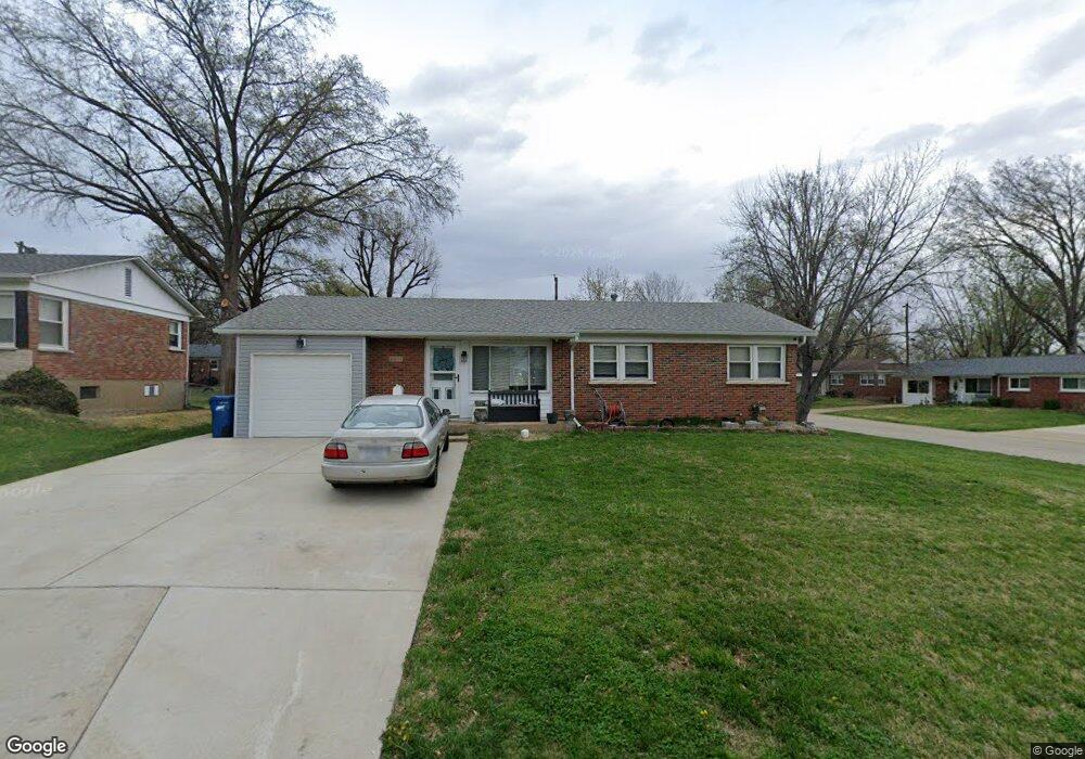
4801 Mohegan Dr Saint Louis, MO 63123
Lemay NeighborhoodEstimated Value: $201,000 - $239,023
3
Beds
3
Baths
1,080
Sq Ft
$204/Sq Ft
Est. Value
About This Home
This home is located at 4801 Mohegan Dr, Saint Louis, MO 63123 and is currently estimated at $220,006, approximately $203 per square foot. 4801 Mohegan Dr is a home located in St. Louis County with nearby schools including Bayless Elementary School, Bayless Junior High School, and Bayless Senior High School.
Ownership History
Date
Name
Owned For
Owner Type
Purchase Details
Closed on
Dec 22, 2020
Sold by
Schmidt Douglas L and Schmidt Audrey M
Bought by
Passaro Jamie W
Current Estimated Value
Home Financials for this Owner
Home Financials are based on the most recent Mortgage that was taken out on this home.
Original Mortgage
$96,000
Outstanding Balance
$85,469
Interest Rate
2.7%
Mortgage Type
New Conventional
Estimated Equity
$134,537
Purchase Details
Closed on
Jul 10, 2001
Sold by
Schmidt Audrey M
Bought by
Schmidt Audrey M and Schmidt Douglas L
Create a Home Valuation Report for This Property
The Home Valuation Report is an in-depth analysis detailing your home's value as well as a comparison with similar homes in the area
Home Values in the Area
Average Home Value in this Area
Purchase History
| Date | Buyer | Sale Price | Title Company |
|---|---|---|---|
| Passaro Jamie W | $120,000 | Us Title Main | |
| Schmidt Audrey M | -- | -- |
Source: Public Records
Mortgage History
| Date | Status | Borrower | Loan Amount |
|---|---|---|---|
| Open | Passaro Jamie W | $96,000 |
Source: Public Records
Tax History
| Year | Tax Paid | Tax Assessment Tax Assessment Total Assessment is a certain percentage of the fair market value that is determined by local assessors to be the total taxable value of land and additions on the property. | Land | Improvement |
|---|---|---|---|---|
| 2025 | $2,672 | $41,710 | $13,680 | $28,030 |
| 2024 | $2,672 | $36,720 | $7,350 | $29,370 |
| 2023 | $2,629 | $36,720 | $7,350 | $29,370 |
| 2022 | $2,679 | $31,640 | $8,420 | $23,220 |
| 2021 | $2,424 | $31,640 | $8,420 | $23,220 |
| 2020 | $2,415 | $29,200 | $8,950 | $20,250 |
| 2019 | $2,409 | $29,200 | $8,950 | $20,250 |
| 2018 | $2,276 | $24,450 | $6,950 | $17,500 |
| 2016 | $1,980 | $22,260 | $4,670 | $17,590 |
Source: Public Records
Map
Nearby Homes
- 4469 Mohegan Dr
- 9200 Papoose Dr
- 9025 Kickapoo Dr
- 4635 Candace Dr
- 4423 Little Chief Dr
- 4618 Weber Rd
- 9117 Tiber Ct
- 9134 Niger Dr
- 4409 Fatima Dr
- 9530 Erie Dr
- 4294 Kay Ln Unit 6
- 9319 Lenard Ct
- 9018 Vasel Dr
- 9105 Southview Ln
- 4909 Arbors at Stonegate Ct
- 9320 Sterling Place
- 9225 Pavia Ave
- 9821 Zenith Dr
- 8506 Mathilda Ave
- 4116 Santen Dr
- 4809 Mohegan Dr
- 4800 Cayuga Dr
- 4813 Mohegan Dr
- 4806 Cayuga Dr
- 9308 Papoose Dr
- 9312 Papoose Dr
- 4800 Mohegan Dr
- 4806 Mohegan Dr
- 9304 Papoose Dr
- 4810 Cayuga Dr
- 4810 Mohegan Dr
- 4817 Mohegan Dr
- 9300 Papoose Dr
- 9322 Papoose Dr
- 4814 Mohegan Dr
- 4814 Cayuga Dr
- 9337 Warrior Dr
- 9341 Warrior Dr
- 9331 Warrior Dr
- 4821 Mohegan Dr
Your Personal Tour Guide
Ask me questions while you tour the home.