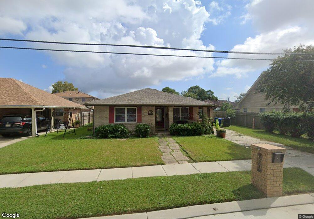
4801 Sherwood Dr New Orleans, LA 70128
Read Boulevard East NeighborhoodEstimated Value: $127,000 - $208,000
3
Beds
2
Baths
1,765
Sq Ft
$91/Sq Ft
Est. Value
About This Home
This home is located at 4801 Sherwood Dr, New Orleans, LA 70128 and is currently estimated at $161,449, approximately $91 per square foot. 4801 Sherwood Dr is a home located in Orleans Parish with nearby schools including Einstein Charter at Sherwood Forest, Fannie C. Williams Charter School, and Einstein Charter School - Village De L'est Elementary.
Ownership History
Date
Name
Owned For
Owner Type
Purchase Details
Closed on
May 29, 2009
Sold by
Prescott Luke E
Bought by
Young Stephanie K
Current Estimated Value
Home Financials for this Owner
Home Financials are based on the most recent Mortgage that was taken out on this home.
Original Mortgage
$75,000
Outstanding Balance
$47,360
Interest Rate
4.76%
Estimated Equity
$114,089
Create a Home Valuation Report for This Property
The Home Valuation Report is an in-depth analysis detailing your home's value as well as a comparison with similar homes in the area
Home Values in the Area
Average Home Value in this Area
Purchase History
| Date | Buyer | Sale Price | Title Company |
|---|---|---|---|
| Young Stephanie K | $140,000 | -- |
Source: Public Records
Mortgage History
| Date | Status | Borrower | Loan Amount |
|---|---|---|---|
| Open | Young Stephanie K | $75,000 |
Source: Public Records
Tax History Compared to Growth
Tax History
| Year | Tax Paid | Tax Assessment Tax Assessment Total Assessment is a certain percentage of the fair market value that is determined by local assessors to be the total taxable value of land and additions on the property. | Land | Improvement |
|---|---|---|---|---|
| 2025 | $881 | $13,520 | $2,170 | $11,350 |
| 2024 | $893 | $13,520 | $2,170 | $11,350 |
| 2023 | $712 | $12,440 | $1,090 | $11,350 |
| 2022 | $712 | $11,870 | $1,090 | $10,780 |
| 2021 | $808 | $12,440 | $1,090 | $11,350 |
| 2020 | $815 | $12,440 | $1,090 | $11,350 |
| 2019 | $844 | $12,440 | $1,090 | $11,350 |
| 2018 | $858 | $12,440 | $1,090 | $11,350 |
| 2017 | $805 | $12,440 | $1,090 | $11,350 |
| 2016 | $828 | $12,440 | $1,090 | $11,350 |
| 2015 | $1,018 | $13,820 | $1,090 | $12,730 |
| 2014 | -- | $13,820 | $1,090 | $12,730 |
| 2013 | -- | $13,820 | $1,090 | $12,730 |
Source: Public Records
Map
Nearby Homes
- 11611 N Adams Ct
- 4901 Friar Tuck Dr
- 4920 Robin Hood Dr
- 4928 Robin Hood Dr
- 11358 Will Stutley Dr
- 57002 Chef Menteur Hwy
- 11839 Chef Menteur Hwy
- 11327 Will Stutley Dr
- 4624 Wright Rd
- 4819 Nighthart St
- 4921 Nighthart St
- 11033 Chef Menteur Hwy
- 4826 Bright Dr
- 11268 Notaway Ln
- 11303 Midpoint Dr
- 5083 W St Andrews Cir
- 5042 W Saint Andrews Cir
- 4811 Sherwood Dr
- 4783 Sherwood Dr
- 4800 Major Dr
- 4780 Major Dr
- 4810 Major Dr
- 4821 Sherwood Dr
- 4777 Sherwood Dr
- 4800 Sherwood Dr
- 4810 Sherwood Dr
- 4764 Sherwood Dr
- 4820 Major Dr
- 4770 Major Dr
- 4820 Sherwood Dr
- 4769 Sherwood Dr
- 4758 Sherwood Dr
- 4811 Major Dr
- 4801 Major Dr
- 4830 Sherwood Dr
- 4830 Major Dr
- 4801 Friar Tuck Dr