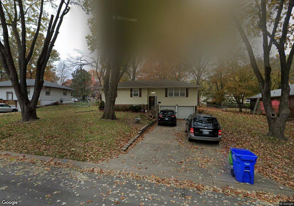
4802 Stearns Ln Shawnee, KS 66203
Estimated Value: $301,000 - $326,000
3
Beds
2
Baths
1,200
Sq Ft
$262/Sq Ft
Est. Value
About This Home
This home is located at 4802 Stearns Ln, Shawnee, KS 66203 and is currently estimated at $314,315, approximately $261 per square foot. 4802 Stearns Ln is a home located in Johnson County with nearby schools including Bluejacket / Flint Elementary, Hocker Grove Middle School, and Shawnee Mission North High School.
Ownership History
Date
Name
Owned For
Owner Type
Purchase Details
Closed on
Feb 9, 2001
Sold by
Englen Fritz Nikolaus and Englen Victoria A
Bought by
Borst James J and Borst Michelle S
Current Estimated Value
Home Financials for this Owner
Home Financials are based on the most recent Mortgage that was taken out on this home.
Original Mortgage
$109,950
Outstanding Balance
$39,032
Interest Rate
6.85%
Estimated Equity
$275,283
Create a Home Valuation Report for This Property
The Home Valuation Report is an in-depth analysis detailing your home's value as well as a comparison with similar homes in the area
Home Values in the Area
Average Home Value in this Area
Purchase History
| Date | Buyer | Sale Price | Title Company |
|---|---|---|---|
| Borst James J | -- | Chicago Title Insurance Co |
Source: Public Records
Mortgage History
| Date | Status | Borrower | Loan Amount |
|---|---|---|---|
| Open | Borst James J | $109,950 |
Source: Public Records
Tax History Compared to Growth
Tax History
| Year | Tax Paid | Tax Assessment Tax Assessment Total Assessment is a certain percentage of the fair market value that is determined by local assessors to be the total taxable value of land and additions on the property. | Land | Improvement |
|---|---|---|---|---|
| 2024 | $3,084 | $29,395 | $6,268 | $23,127 |
| 2023 | $2,986 | $27,911 | $5,696 | $22,215 |
| 2022 | $2,993 | $27,853 | $5,174 | $22,679 |
| 2021 | $2,961 | $25,783 | $4,500 | $21,283 |
| 2020 | $2,938 | $25,243 | $4,093 | $21,150 |
| 2019 | $2,773 | $23,805 | $3,902 | $19,903 |
| 2018 | $2,513 | $21,471 | $3,902 | $17,569 |
| 2017 | $2,389 | $20,091 | $3,547 | $16,544 |
| 2016 | $2,230 | $18,504 | $3,547 | $14,957 |
| 2015 | $2,059 | $17,814 | $3,547 | $14,267 |
| 2013 | -- | $17,342 | $3,547 | $13,795 |
Source: Public Records
Map
Nearby Homes
- 10511 W 49th Place
- 0 W 49th St
- 3017 S 56th St
- 5405 Oliver St
- 5607 Crest Dr
- 5421 Crest Dr
- 10116 W 52nd Terrace
- 2848 S 53rd Terrace
- 5003 Knox Ave
- 9929 W 52nd St
- 2918 S 52nd Terrace
- 2918 S 52nd St
- 2925 S 52nd St
- 11403 W 51st Terrace
- 2808 S 53rd St
- 2913 S 52nd St
- 5308 Mcanany Dr
- 5325 Hagemann St
- 9719 W 53rd St
- 9328 W 51st St
- 4736 Stearns Ln
- 4808 Stearns Ln
- 4801 Melrose Ln
- 4737 Melrose Ln
- 4807 Melrose Ln
- 4732 Stearns Ln
- 4801 Stearns Ln
- 4805 Stearns Ln
- 4737 Stearns Ln
- 4733 Melrose Ln
- 4813 Melrose Ln
- 4809 Stearns Ln
- 4728 Stearns Ln
- 4733 Stearns Ln
- 4729 Melrose Ln
- 4813 Stearns Ln
- 4819 Melrose Ln
- 4800 Queal Dr
- 4804 Queal Dr
- 10601 W 48th St