Estimated Value: $173,000 - $209,000
2
Beds
1
Bath
672
Sq Ft
$291/Sq Ft
Est. Value
About This Home
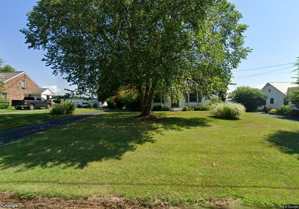
This home is located at 4805 Delta Rd, Delta, PA 17314 and is currently estimated at $195,325, approximately $290 per square foot. 4805 Delta Rd is a home located in York County with nearby schools including Clearview Elementary School, Red Lion Area Junior High School, and Red Lion Area Senior High School.
Ownership History
Date
Name
Owned For
Owner Type
Purchase Details
Closed on
Sep 1, 2010
Sold by
Hauer Jennifer L and Hauer William J
Bought by
Hauer William J and Hauer Jennifer L
Current Estimated Value
Purchase Details
Closed on
Oct 28, 2003
Sold by
Donmoyer Mary E and Donmoyer Linford
Bought by
Lee Jennifer L
Home Financials for this Owner
Home Financials are based on the most recent Mortgage that was taken out on this home.
Original Mortgage
$79,900
Outstanding Balance
$36,990
Interest Rate
5.98%
Mortgage Type
Purchase Money Mortgage
Estimated Equity
$158,335
Create a Home Valuation Report for This Property
The Home Valuation Report is an in-depth analysis detailing your home's value as well as a comparison with similar homes in the area
Purchase History
| Date | Buyer | Sale Price | Title Company |
|---|---|---|---|
| Hauer William J | -- | None Available | |
| Lee Jennifer L | $100,000 | -- |
Source: Public Records
Mortgage History
| Date | Status | Borrower | Loan Amount |
|---|---|---|---|
| Open | Lee Jennifer L | $79,900 |
Source: Public Records
Tax History
| Year | Tax Paid | Tax Assessment Tax Assessment Total Assessment is a certain percentage of the fair market value that is determined by local assessors to be the total taxable value of land and additions on the property. | Land | Improvement |
|---|---|---|---|---|
| 2025 | $2,930 | $93,430 | $33,370 | $60,060 |
| 2024 | $2,838 | $93,430 | $33,370 | $60,060 |
| 2023 | $2,829 | $93,430 | $33,370 | $60,060 |
| 2022 | $2,829 | $93,430 | $33,370 | $60,060 |
| 2021 | $2,736 | $93,430 | $33,370 | $60,060 |
| 2020 | $2,736 | $93,430 | $33,370 | $60,060 |
| 2019 | $2,717 | $93,430 | $33,370 | $60,060 |
| 2018 | $2,717 | $93,430 | $33,370 | $60,060 |
| 2017 | $2,714 | $93,430 | $33,370 | $60,060 |
| 2016 | $0 | $93,430 | $33,370 | $60,060 |
| 2015 | -- | $93,430 | $33,370 | $60,060 |
| 2014 | -- | $93,430 | $33,370 | $60,060 |
Source: Public Records
Map
Nearby Homes
- 65 W Mckinley Rd
- 61 63 65 W Mckinley Rd
- 219 A Highfield Rd
- 58 Glenna Dr
- 76 Laurel Dr
- 100 Pond Rd
- 0 Neill Run Rd
- 8272 Woodbine Rd
- 46 Corn Tassel Rd
- 517 Aubel Rd
- 2313 Bryansville Rd
- 375 Meadow Trail
- 8290 Woodbine Rd
- 00 Robin Trail
- Lot C Bryansville Rd
- 339 Lay Rd
- 7282 Woodbine Rd
- Lot 4 Ridge Rd
- 608 Misty Hill Dr
- 267 Cook Rd
Your Personal Tour Guide
Ask me questions while you tour the home.