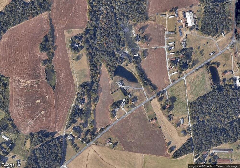
4805 Duncan Rd Monroe, NC 28110
Estimated Value: $276,982 - $427,000
3
Beds
1
Bath
1,535
Sq Ft
$216/Sq Ft
Est. Value
About This Home
This home is located at 4805 Duncan Rd, Monroe, NC 28110 and is currently estimated at $332,246, approximately $216 per square foot. 4805 Duncan Rd is a home located in Union County with nearby schools including Porter Ridge Elementary School, Porter Ridge Middle School, and Porter Ridge High School.
Ownership History
Date
Name
Owned For
Owner Type
Purchase Details
Closed on
Jun 26, 2024
Sold by
Traywick Ruby E and Traywick Sherrill H
Bought by
Traywick Family Revocable Living Trust
Current Estimated Value
Purchase Details
Closed on
Jun 8, 2004
Sold by
Edwards Lawrence Dale and Edwards Angela Vaughn
Bought by
Traywick Ruby E and Edwards Rita H
Create a Home Valuation Report for This Property
The Home Valuation Report is an in-depth analysis detailing your home's value as well as a comparison with similar homes in the area
Home Values in the Area
Average Home Value in this Area
Purchase History
| Date | Buyer | Sale Price | Title Company |
|---|---|---|---|
| Traywick Family Revocable Living Trust | -- | None Listed On Document | |
| Traywick Ruby E | $42,901 | -- |
Source: Public Records
Tax History Compared to Growth
Tax History
| Year | Tax Paid | Tax Assessment Tax Assessment Total Assessment is a certain percentage of the fair market value that is determined by local assessors to be the total taxable value of land and additions on the property. | Land | Improvement |
|---|---|---|---|---|
| 2025 | $1,351 | $265,800 | $0 | $0 |
| 2024 | $1,171 | $173,300 | $33,800 | $139,500 |
| 2023 | $1,160 | $173,300 | $33,800 | $139,500 |
| 2022 | $1,125 | $173,300 | $33,800 | $139,500 |
| 2021 | $1,160 | $173,300 | $33,800 | $139,500 |
| 2020 | $898 | $115,700 | $23,200 | $92,500 |
| 2019 | $969 | $115,700 | $23,200 | $92,500 |
| 2018 | $946 | $115,700 | $23,200 | $92,500 |
| 2017 | $1,004 | $115,700 | $23,200 | $92,500 |
| 2016 | $987 | $115,700 | $23,200 | $92,500 |
| 2015 | $998 | $115,700 | $23,200 | $92,500 |
| 2014 | $854 | $119,180 | $36,470 | $82,710 |
Source: Public Records
Map
Nearby Homes
- 4357 Hornyak Dr
- 835 W Unionville Indian Trail Rd
- 1114 Unionville Indian Trail St Unit 2
- 1110 Unionville Indian Trail St Unit 3
- 4933 Campobello Dr
- 0 Unionville Indian Trail Rd W
- 4708 Stonington Dr
- 2042 Swanport Ln
- 3531 Allenby Place
- 4172 Poplin Grove Dr
- 4117 Oconnell St
- 4436 Roundwood Ct Unit 48
- 1733 Tabby Dr Unit CAL0065
- 1701 Tabby Dr Unit CAL0057
- 1714 Tabby Dr Unit CAL0044
- 4812 Glen Stripe Dr Unit CAL0035
- Madison Plan at Calico Ridge
- Delaney Plan at Calico Ridge
- Bradbury Plan at Calico Ridge
- Weston Plan at Calico Ridge
- 4805 Duncan Rd
- 4721 Duncan Rd
- 4803 Duncan Rd
- 4807 Duncan Rd
- 4717 Duncan Rd
- 4709 Duncan Rd
- 4804 Duncan Rd
- 4810 Duncan Rd
- 2227 Ken Ryan Dr
- 4710 Duncan Rd
- 4711 Duncan Rd
- 4707 Duncan Rd
- 4903 Duncan Rd
- 2107 Bernard Simpson Rd
- 2106 Bernard Simpson Rd
- 4914 Duncan Rd
- 4614 Duncan Rd
- 4921 Duncan Rd
- 2012 Bernard Simpson Rd
- 803 Pennigar Rd
