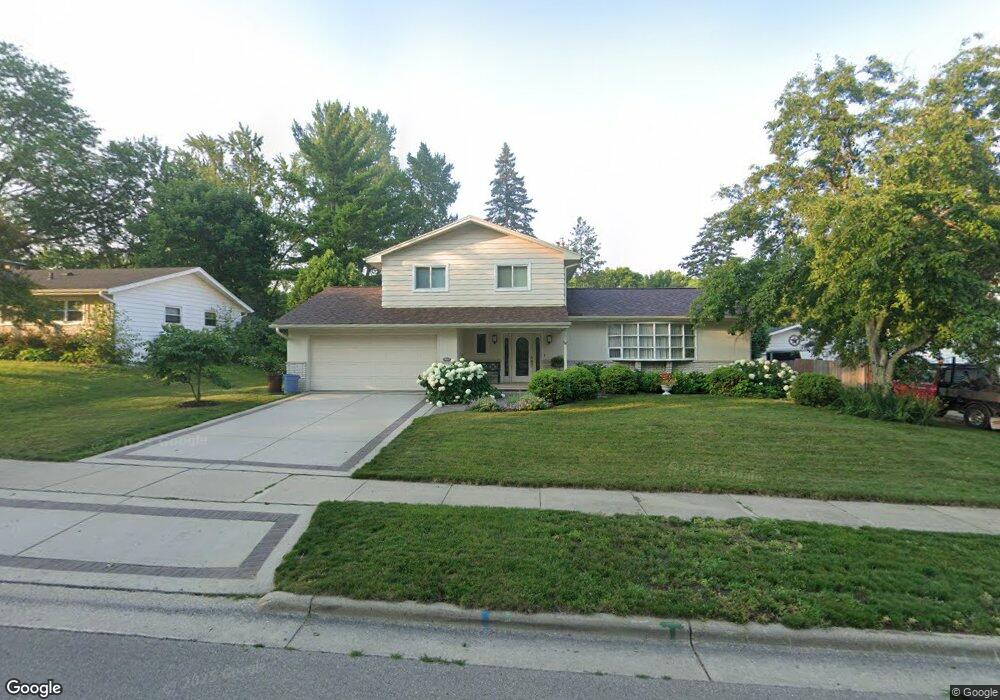
4805 Flint Ln Madison, WI 53714
Rolling Meadows NeighborhoodEstimated Value: $423,000 - $480,000
3
Beds
3
Baths
2,072
Sq Ft
$216/Sq Ft
Est. Value
About This Home
This home is located at 4805 Flint Ln, Madison, WI 53714 and is currently estimated at $446,649, approximately $215 per square foot. 4805 Flint Ln is a home located in Dane County with nearby schools including Kennedy Elementary School, Whitehorse Middle School, and La Follette High School.
Ownership History
Date
Name
Owned For
Owner Type
Purchase Details
Closed on
Oct 31, 2005
Sold by
Jackson Lyndon D and Jackson Trish L
Bought by
Mccolloch Mark S and Roetter Theresa L
Current Estimated Value
Home Financials for this Owner
Home Financials are based on the most recent Mortgage that was taken out on this home.
Original Mortgage
$160,000
Outstanding Balance
$83,693
Interest Rate
5.89%
Mortgage Type
New Conventional
Estimated Equity
$362,956
Create a Home Valuation Report for This Property
The Home Valuation Report is an in-depth analysis detailing your home's value as well as a comparison with similar homes in the area
Home Values in the Area
Average Home Value in this Area
Purchase History
| Date | Buyer | Sale Price | Title Company |
|---|---|---|---|
| Mccolloch Mark S | $246,500 | None Available |
Source: Public Records
Mortgage History
| Date | Status | Borrower | Loan Amount |
|---|---|---|---|
| Open | Mccolloch Mark S | $160,000 |
Source: Public Records
Tax History
| Year | Tax Paid | Tax Assessment Tax Assessment Total Assessment is a certain percentage of the fair market value that is determined by local assessors to be the total taxable value of land and additions on the property. | Land | Improvement |
|---|---|---|---|---|
| 2025 | $8,403 | $470,000 | $76,600 | $393,400 |
| 2024 | $14,948 | $442,100 | $76,600 | $365,500 |
| 2023 | $6,890 | $399,700 | $69,300 | $330,400 |
| 2022 | $13,442 | $357,500 | $62,000 | $295,500 |
| 2021 | $6,598 | $325,000 | $62,000 | $263,000 |
| 2020 | $6,926 | $320,400 | $57,900 | $262,500 |
| 2019 | $6,720 | $311,100 | $56,200 | $254,900 |
| 2018 | $6,161 | $285,400 | $56,200 | $229,200 |
| 2017 | $6,005 | $266,700 | $51,100 | $215,600 |
| 2016 | $5,636 | $244,700 | $51,100 | $193,600 |
| 2015 | $5,548 | $232,900 | $51,100 | $181,800 |
| 2014 | $5,433 | $232,900 | $51,100 | $181,800 |
| 2013 | $5,587 | $232,900 | $51,100 | $181,800 |
Source: Public Records
Map
Nearby Homes
- 4914 Ralph Cir
- 4914 Retana Dr
- 229 Crystal Ln
- 5 Daffodil Ln
- 1 Milo Ln
- 5014 Trafalger Place
- 5309 Portsmouth Way
- 5026 Piccadilly Dr
- Lot 3 Bellevine Ct
- 6 Esther Ct
- 5345 Queensbridge Rd
- 1002 Ellen Ave
- 410 Orion Trail
- 3914 Dennett Dr
- 809 Bewick Dr
- 1133 Bonnie Ln
- 318 Milky Way
- 4801 Kim Ln
- 130 Buckingham Ln
- 617 Orion Trail
Your Personal Tour Guide
Ask me questions while you tour the home.