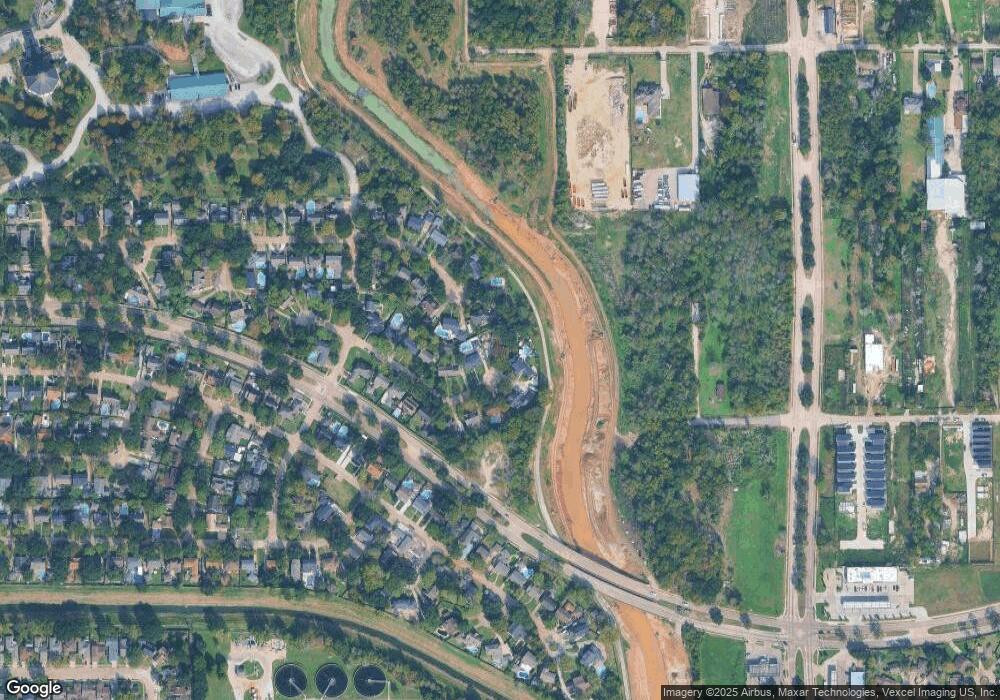
4806 Caris St Houston, TX 77091
Oak Forest-Garden Oaks NeighborhoodEstimated Value: $457,000 - $682,000
5
Beds
4
Baths
3,325
Sq Ft
$162/Sq Ft
Est. Value
About This Home
This home is located at 4806 Caris St, Houston, TX 77091 and is currently estimated at $538,410, approximately $161 per square foot. 4806 Caris St is a home located in Harris County with nearby schools including Clifton Middle, Scarborough High School, and Southwest Schools Mangum El Campus.
Ownership History
Date
Name
Owned For
Owner Type
Purchase Details
Closed on
Feb 6, 2004
Sold by
Buividas Leon J and Buividas June H
Bought by
Blackmon Wayne and Blackmon Linda
Current Estimated Value
Home Financials for this Owner
Home Financials are based on the most recent Mortgage that was taken out on this home.
Original Mortgage
$76,000
Outstanding Balance
$35,346
Interest Rate
5.71%
Mortgage Type
Purchase Money Mortgage
Estimated Equity
$503,064
Create a Home Valuation Report for This Property
The Home Valuation Report is an in-depth analysis detailing your home's value as well as a comparison with similar homes in the area
Home Values in the Area
Average Home Value in this Area
Purchase History
| Date | Buyer | Sale Price | Title Company |
|---|---|---|---|
| Blackmon Wayne | -- | Fidelity National Title |
Source: Public Records
Mortgage History
| Date | Status | Borrower | Loan Amount |
|---|---|---|---|
| Open | Blackmon Wayne | $76,000 |
Source: Public Records
Tax History Compared to Growth
Tax History
| Year | Tax Paid | Tax Assessment Tax Assessment Total Assessment is a certain percentage of the fair market value that is determined by local assessors to be the total taxable value of land and additions on the property. | Land | Improvement |
|---|---|---|---|---|
| 2025 | $798 | $409,207 | $199,175 | $210,032 |
| 2024 | $798 | $409,207 | $199,175 | $210,032 |
| 2023 | $798 | $413,473 | $175,743 | $237,730 |
| 2022 | $7,455 | $389,336 | $175,743 | $213,593 |
| 2021 | $5,164 | $283,129 | $113,257 | $169,872 |
| 2020 | $4,878 | $0 | $0 | $0 |
| 2019 | $6,786 | $270,593 | $108,049 | $162,544 |
| 2018 | $3,741 | $198,697 | $117,162 | $81,535 |
| 2017 | $5,923 | $271,109 | $117,162 | $153,947 |
| 2016 | $5,385 | $261,361 | $117,162 | $144,199 |
| 2015 | $3,459 | $257,560 | $117,162 | $140,398 |
| 2014 | $3,459 | $220,788 | $82,013 | $138,775 |
Source: Public Records
Map
Nearby Homes
- 4906 Droddy St
- 5010 Oak Shadows Dr
- 5609 Savyon Dr
- 4702 Bayou Vista Dr
- 3402 Paul Quinn St
- 3422 Mansfield St
- 5608 Savyon Dr
- 3414 Mansfield St
- 3318 Paul Quinn St
- 3406 Mansfield St
- 6024 T C Jester Blvd
- Jefferson II Plan at Highland Grove
- 5612 Iris Harvest Dr
- 3217 Mansfield St
- 5913 Manning Oaks St
- 5917 Manning Oaks St
- 5914 Manning Oaks St
- 3215 Cedar Dawn Ln
- 5916 Manning Oaks St
- 3207 Cedar Dawn Ln
