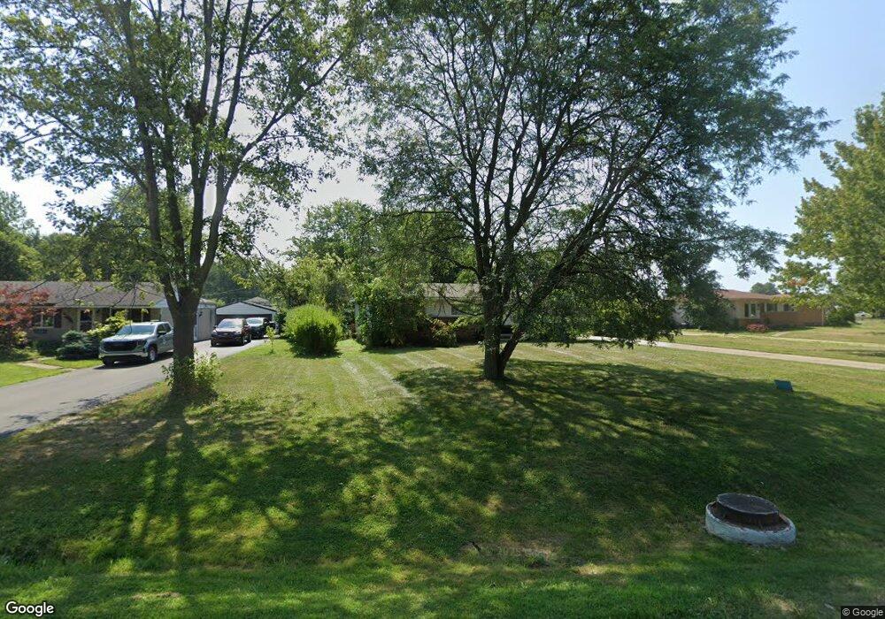
48070 Pheasant St Chesterfield, MI 48047
Estimated Value: $278,000 - $285,000
3
Beds
2
Baths
1,232
Sq Ft
$228/Sq Ft
Est. Value
About This Home
This home is located at 48070 Pheasant St, Chesterfield, MI 48047 and is currently estimated at $280,446, approximately $227 per square foot. 48070 Pheasant St is a home located in Macomb County with nearby schools including Dean A. Naldrett School, Anchor Bay Middle School South, and Anchor Bay High School.
Ownership History
Date
Name
Owned For
Owner Type
Purchase Details
Closed on
Mar 14, 1995
Sold by
Larry R Parr
Bought by
Frink Thomas A and Frink Kimberly L
Current Estimated Value
Home Financials for this Owner
Home Financials are based on the most recent Mortgage that was taken out on this home.
Original Mortgage
$99,438
Interest Rate
8.82%
Mortgage Type
FHA
Create a Home Valuation Report for This Property
The Home Valuation Report is an in-depth analysis detailing your home's value as well as a comparison with similar homes in the area
Home Values in the Area
Average Home Value in this Area
Purchase History
| Date | Buyer | Sale Price | Title Company |
|---|---|---|---|
| Frink Thomas A | $100,000 | -- |
Source: Public Records
Mortgage History
| Date | Status | Borrower | Loan Amount |
|---|---|---|---|
| Closed | Frink Thomas A | $99,438 |
Source: Public Records
Tax History Compared to Growth
Tax History
| Year | Tax Paid | Tax Assessment Tax Assessment Total Assessment is a certain percentage of the fair market value that is determined by local assessors to be the total taxable value of land and additions on the property. | Land | Improvement |
|---|---|---|---|---|
| 2025 | $2,810 | $125,300 | $0 | $0 |
| 2024 | $1,499 | $118,600 | $0 | $0 |
| 2023 | $1,421 | $101,000 | $0 | $0 |
| 2022 | $2,356 | $93,800 | $0 | $0 |
| 2021 | $2,528 | $90,700 | $0 | $0 |
| 2020 | $1,306 | $85,400 | $0 | $0 |
| 2019 | $2,290 | $81,600 | $0 | $0 |
| 2018 | $2,290 | $75,800 | $15,400 | $60,400 |
| 2017 | $2,265 | $70,200 | $15,450 | $54,750 |
| 2016 | $2,269 | $70,200 | $0 | $0 |
| 2015 | $1,194 | $62,150 | $0 | $0 |
| 2014 | $1,194 | $60,000 | $13,050 | $46,950 |
| 2012 | -- | $0 | $0 | $0 |
Source: Public Records
Map
Nearby Homes
- 47978 Jefferson Ave
- 47900 Jefferson Ave
- 48093 Forbes St
- 47812 Forbes Dr
- 47935 Remington Ct
- 47685 Jefferson Ave
- 48041 Sugarbush Rd
- 29705 Alexandra Ln Unit 13
- 48526 Jefferson Ave
- 29213 Rachid Ln
- 48556 Harbor Dr
- 48530 Sugarbush Rd Unit 45
- 48590 Harbor Dr
- 29371 Bayside Cir N
- 50426 Jim Dr
- 50013 S Jimmy Ct
- 47460 Sugarbush Rd
- 48765 Callens Rd
- 29126 Brooke Meadows Ct
- 28734 Yarmouth Ct Unit 18
- 48084 Pheasant St
- 48056 Pheasant St
- 48096 Pheasant St
- 48046 Pheasant St
- 48106 Pheasant St
- 48036 Pheasant St
- 48083 Pheasant St
- 48067 Pheasant St
- 48081 Book Ct
- 48059 Pheasant St
- 48075 Pheasant St
- 48091 Book Ct
- 48118 Pheasant St
- 48093 Pheasant St
- 48026 Pheasant St
- 48051 Pheasant St
- 48103 Pheasant St
- 48043 Pheasant St
- 48132 Pheasant St
- 48018 Pheasant St