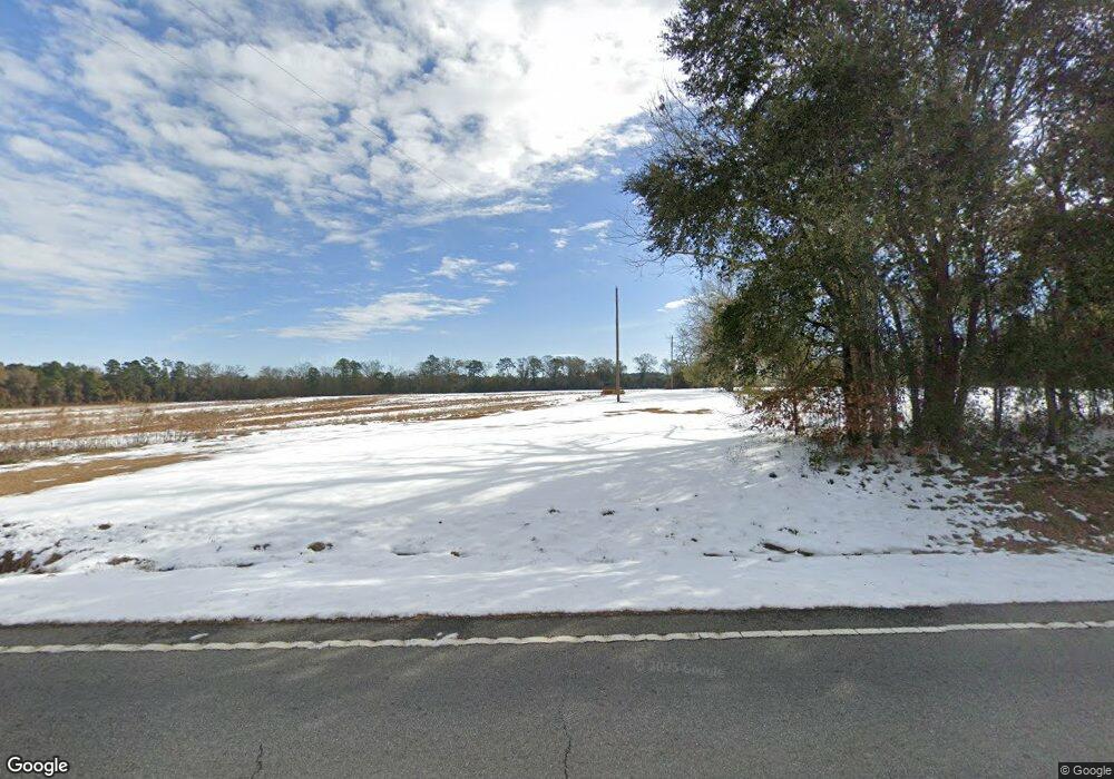
4808 Ga Highway 112 N Pelham, GA 31779
Estimated Value: $279,000 - $650,497
--
Bed
1
Bath
1,668
Sq Ft
$261/Sq Ft
Est. Value
About This Home
This home is located at 4808 Ga Highway 112 N, Pelham, GA 31779 and is currently estimated at $435,832, approximately $261 per square foot. 4808 Ga Highway 112 N is a home located in Grady County.
Ownership History
Date
Name
Owned For
Owner Type
Purchase Details
Closed on
Dec 16, 2022
Sold by
Barfield Linda G
Bought by
Thomas Anita K and Thomas Edward Dale
Current Estimated Value
Purchase Details
Closed on
Sep 27, 2018
Sold by
Barfield Linda G
Bought by
Thomas Michael
Purchase Details
Closed on
Jun 2, 2017
Sold by
Barfield Linda G
Bought by
Thomas Michael D
Purchase Details
Closed on
Jun 22, 2004
Bought by
Barfield Linda B
Purchase Details
Closed on
Apr 9, 1986
Bought by
Gainous Arista W
Create a Home Valuation Report for This Property
The Home Valuation Report is an in-depth analysis detailing your home's value as well as a comparison with similar homes in the area
Home Values in the Area
Average Home Value in this Area
Purchase History
| Date | Buyer | Sale Price | Title Company |
|---|---|---|---|
| Thomas Anita K | -- | -- | |
| Thomas Michael | -- | -- | |
| Thomas Michael D | -- | -- | |
| Barfield Linda B | $180,000 | -- | |
| Gainous Arista W | -- | -- |
Source: Public Records
Tax History Compared to Growth
Tax History
| Year | Tax Paid | Tax Assessment Tax Assessment Total Assessment is a certain percentage of the fair market value that is determined by local assessors to be the total taxable value of land and additions on the property. | Land | Improvement |
|---|---|---|---|---|
| 2024 | $2,040 | $182,878 | $149,186 | $33,692 |
| 2023 | $1,461 | $95,312 | $76,392 | $18,920 |
| 2022 | $1,214 | $92,729 | $73,809 | $18,920 |
| 2021 | $1,194 | $94,553 | $73,809 | $20,744 |
| 2020 | $1,176 | $94,553 | $73,809 | $20,744 |
| 2019 | $1,155 | $94,553 | $73,809 | $20,744 |
| 2018 | $1,071 | $112,978 | $92,234 | $20,744 |
| 2017 | $1,181 | $112,978 | $92,234 | $20,744 |
| 2016 | $1,074 | $109,811 | $92,234 | $17,576 |
| 2015 | $1,037 | $109,811 | $92,234 | $17,576 |
| 2014 | $966 | $109,811 | $92,234 | $17,576 |
| 2013 | -- | $108,808 | $92,234 | $16,574 |
Source: Public Records
Map
Nearby Homes
- 7268 Lodgetown Rd
- 0 Wade Rd
- 1067 Wade Rd
- 6203 Mount Olive Rd
- 0 Harrell Rd
- 835 Mill Pond Rd
- 4761 Georgia 65
- 000 Noles Rd
- 4749 Georgia 65
- 4702 Georgia 65
- 189 Sabino Dr
- 387 Lakeshore Rd
- 5854 Mount Olive Rd
- 53 +/- A Bond Rd
- 0 Old Ga Highway 3
- 8468 Branchville Rd
- 425 Hollis St SW
- 443 Stewart St SW
- 410 Hollis St SW
- 389 Stewart St SW
- 4806 Ga Highway 112 N
- 3990 Ga Highway 112 N
- 4106 Ga Highway 112 N
- 4116 Ga Highway 112 N
- 4909 Ga Highway 112 N
- 4906 Ga Highway 112 N
- 4374 Ga Highway 112 N
- 1278 Wilder Rd
- 1336 Wilder Rd
- 000 Mizpah Rd
- 000 Wilder Rd
- 131 Alwood Ln
- 1260 Wilder Rd
- 313 Mizpah Rd
- 1235 Wilder Rd
- 260 Tinsley Ln
- 1191 Wilder Rd
- 1136 Wilder Rd
- 5123 Ga Highway 112 N
- 1147 Wilder Rd