4809 Old Highway Rd Monroe, NC 28112
Estimated Value: $367,000 - $750,000
3
Beds
2
Baths
1,436
Sq Ft
$432/Sq Ft
Est. Value
About This Home
This home is located at 4809 Old Highway Rd, Monroe, NC 28112 and is currently estimated at $620,000, approximately $431 per square foot. 4809 Old Highway Rd is a home located in Union County with nearby schools including Prospect Elementary School, Parkwood Middle School, and Parkwood High School.
Ownership History
Date
Name
Owned For
Owner Type
Purchase Details
Closed on
Nov 5, 2024
Sold by
Mcdonald Reginald and Mcdonald Neatosha
Bought by
Cervantes Cortes David and Moran Badillo Angelica
Current Estimated Value
Home Financials for this Owner
Home Financials are based on the most recent Mortgage that was taken out on this home.
Original Mortgage
$690,000
Outstanding Balance
$679,385
Interest Rate
6.44%
Mortgage Type
New Conventional
Estimated Equity
-$59,385
Create a Home Valuation Report for This Property
The Home Valuation Report is an in-depth analysis detailing your home's value as well as a comparison with similar homes in the area
Purchase History
| Date | Buyer | Sale Price | Title Company |
|---|---|---|---|
| Cervantes Cortes David | $700,000 | None Listed On Document | |
| Cervantes Cortes David | $700,000 | None Listed On Document |
Source: Public Records
Mortgage History
| Date | Status | Borrower | Loan Amount |
|---|---|---|---|
| Open | Cervantes Cortes David | $690,000 | |
| Closed | Cervantes Cortes David | $690,000 |
Source: Public Records
Tax History
| Year | Tax Paid | Tax Assessment Tax Assessment Total Assessment is a certain percentage of the fair market value that is determined by local assessors to be the total taxable value of land and additions on the property. | Land | Improvement |
|---|---|---|---|---|
| 2025 | $1,654 | $343,400 | $0 | $0 |
| 2024 | $1,288 | $200,200 | $50,700 | $149,500 |
| 2023 | $1,270 | $200,200 | $50,700 | $149,500 |
| 2022 | $1,270 | $200,200 | $50,700 | $149,500 |
| 2021 | $1,262 | $200,200 | $50,700 | $149,500 |
| 2020 | $832 | $134,940 | $41,340 | $93,600 |
| 2019 | $1,060 | $134,940 | $41,340 | $93,600 |
| 2018 | $1,060 | $134,940 | $41,340 | $93,600 |
| 2017 | $1,130 | $134,900 | $41,300 | $93,600 |
| 2016 | $1,093 | $134,940 | $41,340 | $93,600 |
| 2015 | $1,111 | $134,940 | $41,340 | $93,600 |
| 2014 | $1,081 | $155,270 | $52,500 | $102,770 |
Source: Public Records
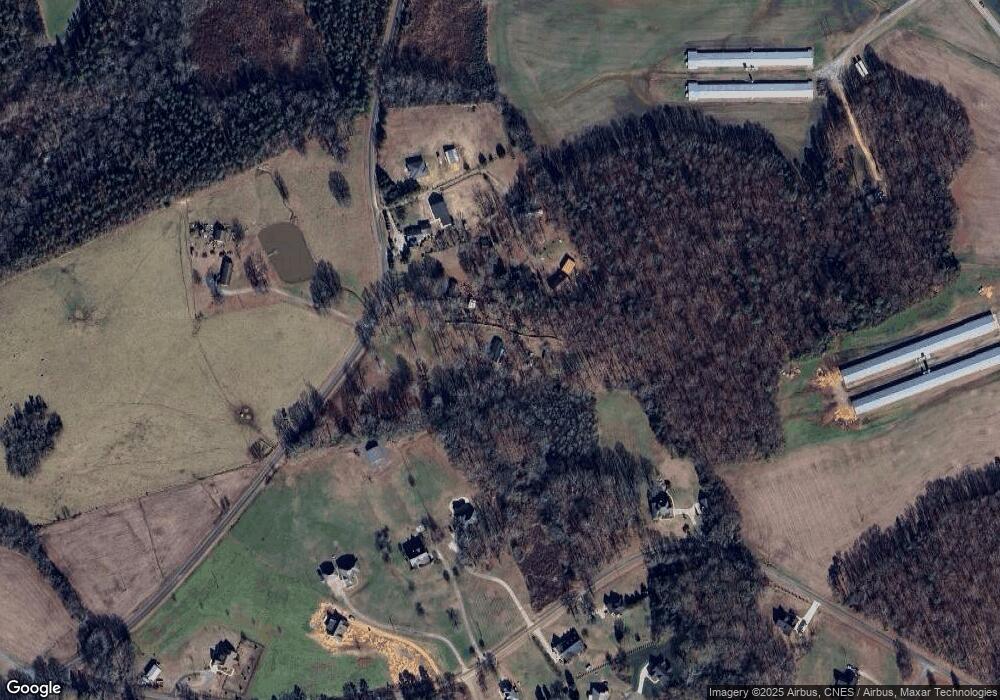
Map
Nearby Homes
- 5124 Pond Bluff Dr
- 2720 Yellow Bell Way
- 5313 Old Highway Rd
- 6404 Lancaster Hwy
- 6419 Lancaster Hwy Unit 9, 19
- 01 Lancaster Hwy
- 2721 Tara Dr
- 5200 Lancaster Hwy
- 5714 Tipton Rd
- 5624 Tipton Rd
- 5630 Tipton Rd
- 4607 Nesbit Rd
- 5904 Nesbit Rd
- 2005 Trey Ct
- 4114 Mcmanus Rd Unit 1
- 5916 Griffith Rd
- 106 Serenity Creek Dr
- 4120 Mcmanus Rd
- 110 Serenity Creek Dr
- 3605 Crow Rd
- 4807 Old Highway Rd
- 4805 Old Highway Rd
- 4803 Old Highway Rd
- 2816 Lathan Rd
- 2808 Lathan Rd
- 2802 Lathan Rd
- 2820 Lathan Rd
- 2902 Lathan Rd
- 4808 Old Highway Rd
- 2801 Lathan Rd
- 2807 Lathan Rd
- 5101 Little Leaf Ln
- 5200 Meadowland Pkwy
- 5105 Little Leaf Ln
- 4616 S Rocky River Rd
- 5201 Meadowland Pkwy
- 2910 Lathan Rd
- 5104 Littleleaf Ln
- 5205 Meadowland Pkwy
- 2801 Sweetgrass Ln
Your Personal Tour Guide
Ask me questions while you tour the home.