4809 State Route 181 Crestline, OH 44827
Estimated Value: $127,781 - $265,000
3
Beds
2
Baths
1,620
Sq Ft
$126/Sq Ft
Est. Value
About This Home
This home is located at 4809 State Route 181, Crestline, OH 44827 and is currently estimated at $204,927, approximately $126 per square foot. 4809 State Route 181 is a home located in Richland County with nearby schools including Crestline High School and St. Joseph Catholic School.
Ownership History
Date
Name
Owned For
Owner Type
Purchase Details
Closed on
Nov 18, 2020
Sold by
Rose Melinda M
Bought by
Rose Melinda M
Current Estimated Value
Home Financials for this Owner
Home Financials are based on the most recent Mortgage that was taken out on this home.
Original Mortgage
$150,000
Outstanding Balance
$133,932
Interest Rate
2.99%
Mortgage Type
Future Advance Clause Open End Mortgage
Estimated Equity
$70,995
Purchase Details
Closed on
Dec 1, 1998
Sold by
C E E Llc
Bought by
Rose Joseph L and Rose Melinda M
Home Financials for this Owner
Home Financials are based on the most recent Mortgage that was taken out on this home.
Original Mortgage
$90,000
Interest Rate
6.5%
Mortgage Type
New Conventional
Purchase Details
Closed on
Oct 31, 1997
Sold by
Bland Leonard
Bought by
Eith Raymond C and Eith Patricia J
Create a Home Valuation Report for This Property
The Home Valuation Report is an in-depth analysis detailing your home's value as well as a comparison with similar homes in the area
Home Values in the Area
Average Home Value in this Area
Purchase History
| Date | Buyer | Sale Price | Title Company |
|---|---|---|---|
| Rose Melinda M | -- | Chicago Title | |
| Rose Joseph L | $16,000 | -- | |
| Eith Raymond C | $50,000 | -- |
Source: Public Records
Mortgage History
| Date | Status | Borrower | Loan Amount |
|---|---|---|---|
| Open | Rose Melinda M | $150,000 | |
| Closed | Rose Joseph L | $90,000 |
Source: Public Records
Tax History Compared to Growth
Tax History
| Year | Tax Paid | Tax Assessment Tax Assessment Total Assessment is a certain percentage of the fair market value that is determined by local assessors to be the total taxable value of land and additions on the property. | Land | Improvement |
|---|---|---|---|---|
| 2024 | $2,508 | $80,720 | $41,230 | $39,490 |
| 2023 | $2,508 | $80,720 | $41,230 | $39,490 |
| 2022 | $2,593 | $68,140 | $30,560 | $37,580 |
| 2021 | $2,552 | $68,140 | $30,560 | $37,580 |
| 2020 | $3,879 | $68,140 | $30,560 | $37,580 |
| 2019 | $3,354 | $57,840 | $25,900 | $31,940 |
| 2018 | $3,315 | $57,840 | $25,900 | $31,940 |
| 2017 | $3,001 | $57,840 | $25,900 | $31,940 |
| 2016 | $2,734 | $50,730 | $17,040 | $33,690 |
| 2015 | $2,694 | $50,730 | $17,040 | $33,690 |
| 2014 | $2,763 | $50,730 | $17,040 | $33,690 |
| 2012 | $1,444 | $52,310 | $17,570 | $34,740 |
Source: Public Records
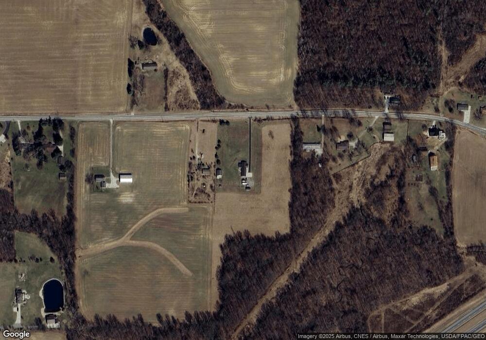
Map
Nearby Homes
- 4825 Lincoln Hwy
- 5263 Lincoln Hwy
- 5380 Lincoln Hwy
- 5446 Lincoln Hwy
- 5450 Lincoln Hwy
- 832 State Route 314 N
- 3880 Horizon Dr
- 1260 Thrush Rd
- 4451 Beam Rd
- 0 Alexander Dr
- 0 Rudy Rd
- 332 Maynard Ave
- 718 E Main St
- 601 Scott St
- 307 S Washington Ave
- 207 Maynard Ave
- 302 S Washington St
- 56 Lexington Ontario Rd
- 4663 Millsboro Rd W
- 763 County Line Rd Unit Lot 103
- 4841 State Route 181
- 4743 State Route 181
- 4737 State Route 181
- 4860 State Route 181
- 4867 State Route 181
- 4734 State Route 181
- 4734 Ohio 181
- 4901 State Route 181
- 4685 State Route 181
- 4676 State Route 181
- 4666 State Route 181
- 4925 State Route 181
- 4664 State Route 181
- 4653 State Route 181
- 4655 Ohio 181
- 4655 State Route 181
- 4951 State Route 181
- 4660 State Route 181
- 5082 State Route 181
- 4639 State Route 181