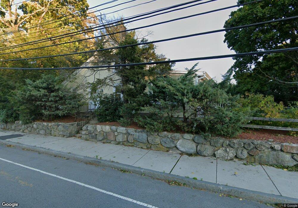
481 Forest St Waltham, MA 02452
North Waltham NeighborhoodEstimated Value: $1,223,000 - $1,434,000
4
Beds
4
Baths
3,376
Sq Ft
$399/Sq Ft
Est. Value
About This Home
This home is located at 481 Forest St, Waltham, MA 02452 and is currently estimated at $1,347,921, approximately $399 per square foot. 481 Forest St is a home located in Middlesex County with nearby schools including Northeast Elementary School, John F Kennedy Middle School, and Waltham Sr High School.
Ownership History
Date
Name
Owned For
Owner Type
Purchase Details
Closed on
Jul 14, 2020
Sold by
Vary Darcy M and Stepanian Stephen H
Bought by
Stephen H Stepanian Lt
Current Estimated Value
Purchase Details
Closed on
Jul 14, 2006
Sold by
Tortola Angelo and Tortola Marianne
Bought by
Fragale Carlo
Home Financials for this Owner
Home Financials are based on the most recent Mortgage that was taken out on this home.
Original Mortgage
$560,000
Interest Rate
6.71%
Mortgage Type
Purchase Money Mortgage
Create a Home Valuation Report for This Property
The Home Valuation Report is an in-depth analysis detailing your home's value as well as a comparison with similar homes in the area
Home Values in the Area
Average Home Value in this Area
Purchase History
| Date | Buyer | Sale Price | Title Company |
|---|---|---|---|
| Stephen H Stepanian Lt | -- | None Available | |
| Fragale Carlo | $350,000 | -- |
Source: Public Records
Mortgage History
| Date | Status | Borrower | Loan Amount |
|---|---|---|---|
| Previous Owner | Fragale Carlo | $560,000 |
Source: Public Records
Tax History Compared to Growth
Tax History
| Year | Tax Paid | Tax Assessment Tax Assessment Total Assessment is a certain percentage of the fair market value that is determined by local assessors to be the total taxable value of land and additions on the property. | Land | Improvement |
|---|---|---|---|---|
| 2025 | $10,132 | $1,031,800 | $565,600 | $466,200 |
| 2024 | $9,657 | $1,001,800 | $540,600 | $461,200 |
| 2023 | $9,385 | $909,400 | $490,600 | $418,800 |
| 2022 | $9,498 | $852,600 | $440,600 | $412,000 |
| 2021 | $9,417 | $831,900 | $440,600 | $391,300 |
| 2020 | $9,390 | $785,800 | $410,600 | $375,200 |
| 2019 | $8,732 | $689,700 | $405,600 | $284,100 |
| 2018 | $8,033 | $637,000 | $375,600 | $261,400 |
| 2017 | $7,561 | $602,000 | $340,600 | $261,400 |
| 2016 | $7,124 | $582,000 | $320,600 | $261,400 |
| 2015 | $7,119 | $542,200 | $280,600 | $261,600 |
Source: Public Records
Map
Nearby Homes
- 155 Marguerite Ave
- 116 Raffaele Dr
- 55 Circle Dr
- 70 Rosewood Dr
- 23 Wight St
- 38 Van Vechten St
- 45 Chase Rd
- 750 Trapelo Rd
- 65 Woburn St
- 170 Clocktower Dr Unit 5103
- 107 Clocktower Dr Unit 3302
- 87 Clocktower Dr Unit 2207
- 100 Shirley Rd
- 26 Brookfield Rd
- 9 Stanley Rd
- 28 College Farm Rd Unit 2
- 30 Jacqueline Rd Unit C
- 266 Linden St
- 34 Cedar Hill Ln
- 51 S Cottage Rd Unit 112