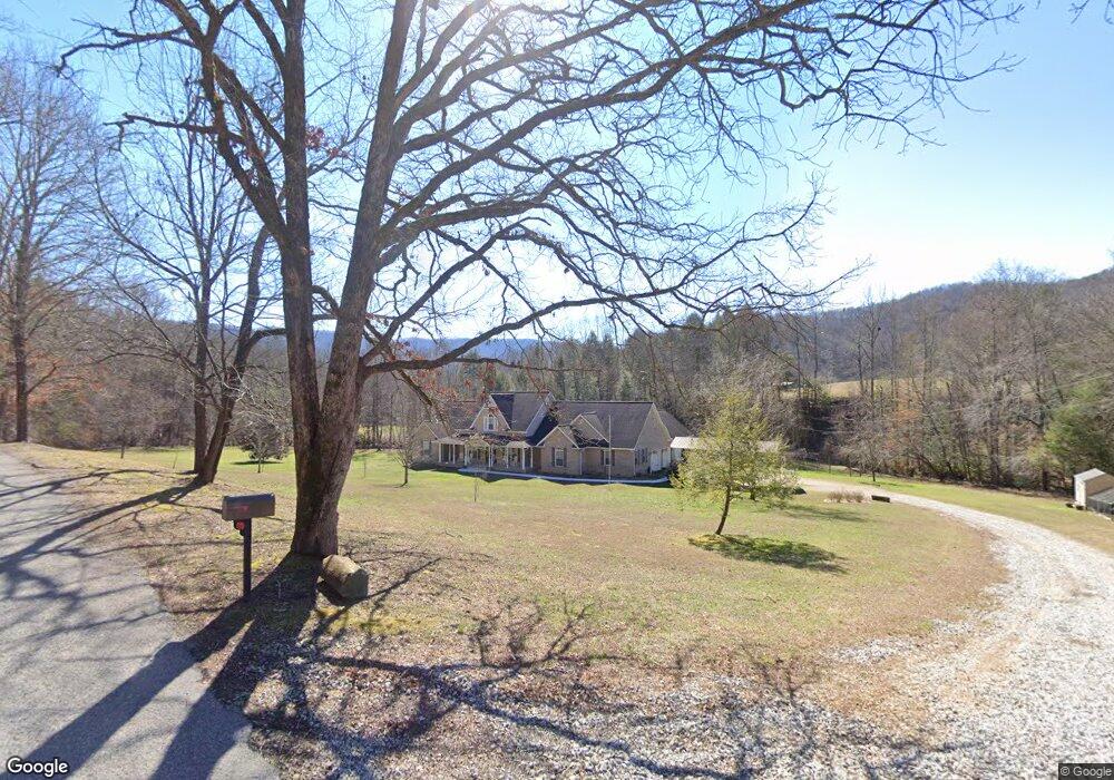
481 Lick Fork Ln Pioneer, TN 37847
Estimated Value: $442,000 - $721,000
--
Bed
4
Baths
3,421
Sq Ft
$168/Sq Ft
Est. Value
About This Home
This home is located at 481 Lick Fork Ln, Pioneer, TN 37847 and is currently estimated at $573,618, approximately $167 per square foot. 481 Lick Fork Ln is a home located in Campbell County.
Ownership History
Date
Name
Owned For
Owner Type
Purchase Details
Closed on
Sep 28, 2020
Sold by
Ivey Peggy and Ivey Ernie
Bought by
Welther Phillip J and Welther Bonnie J
Current Estimated Value
Home Financials for this Owner
Home Financials are based on the most recent Mortgage that was taken out on this home.
Original Mortgage
$475,419
Outstanding Balance
$422,860
Interest Rate
2.9%
Mortgage Type
New Conventional
Estimated Equity
$150,758
Purchase Details
Closed on
Jul 23, 2004
Bought by
Ivey Peggy S Etvir Ernie N
Purchase Details
Closed on
Feb 11, 2004
Sold by
Kitts Adron R
Bought by
Kitts Ronnie
Create a Home Valuation Report for This Property
The Home Valuation Report is an in-depth analysis detailing your home's value as well as a comparison with similar homes in the area
Home Values in the Area
Average Home Value in this Area
Purchase History
| Date | Buyer | Sale Price | Title Company |
|---|---|---|---|
| Welther Phillip J | $458,899 | None Available | |
| Ivey Peggy S Etvir Ernie N | $15,000 | -- | |
| Kitts Ronnie | $46,882 | -- |
Source: Public Records
Mortgage History
| Date | Status | Borrower | Loan Amount |
|---|---|---|---|
| Open | Welther Phillip J | $475,419 |
Source: Public Records
Tax History Compared to Growth
Tax History
| Year | Tax Paid | Tax Assessment Tax Assessment Total Assessment is a certain percentage of the fair market value that is determined by local assessors to be the total taxable value of land and additions on the property. | Land | Improvement |
|---|---|---|---|---|
| 2024 | $1,736 | $142,850 | $8,900 | $133,950 |
| 2023 | $1,603 | $77,600 | $4,350 | $73,250 |
| 2022 | $1,603 | $77,600 | $4,350 | $73,250 |
| 2021 | $1,603 | $77,600 | $4,350 | $73,250 |
| 2020 | $1,571 | $77,600 | $4,350 | $73,250 |
| 2019 | $1,603 | $77,600 | $4,350 | $73,250 |
| 2018 | $1,581 | $70,275 | $4,825 | $65,450 |
| 2017 | $1,581 | $70,275 | $4,825 | $65,450 |
| 2016 | $1,581 | $70,275 | $4,825 | $65,450 |
| 2015 | $1,398 | $70,275 | $4,825 | $65,450 |
| 2014 | $1,398 | $70,275 | $4,825 | $65,450 |
| 2013 | -- | $70,275 | $4,825 | $65,450 |
Source: Public Records
Map
Nearby Homes
- 0 Lick Fork Ln
- 580 Elk Fork Rd
- 207 Lick Fork Ln
- 0 Tennessee 297
- 6646 Tennessee 297
- 187 Grouse Ln
- Lot 82 Grouse Ln
- 137 Summerset Ln
- 0 I-75 Rd
- 0 Lone Rd
- 118 N Meredith Rd
- 976 Lone Rd
- 2506 Little Elk Creek Rd
- 142 Wagon Wheel Ln
- 0 Stinking Creek 61 Acres Rd
- 0 Stinking Creek Rd
- 143 Elk Ridge Ln
- 0 Hatfield Creek Rd
- 0 Smith Creek Rd Unit 1309671
- 0 Smith Creek Rd Unit LotWP001
- 458 Lick Fork Ln
- 433 Lick Fork Ln
- 130 Tulip Ln
- 579 Lick Fork Ln
- 233 Tulip Ln
- 0 Westbourne Rd Unit 11113610
- 689 Lick Fork Ln
- 243 Lick Fork Ln
- 725 Lick Fork Ln
- 272 Meredith Ln
- 125 Elk Fork Rd
- 105 Elk Fork Rd
- 273 Meredith Ln
- 217 Elk Fork Rd
- 7641 Highway 297
- 154 Elk Fork Rd
- 7603 Highway 297
- 180 Elk Fork Rd
- 0 Elk Fork Rd Unit 1058583
- 7705 Highway 297