481 Locke Rd Cornelia, GA 30531
Estimated Value: $303,522 - $329,000
3
Beds
2
Baths
1,781
Sq Ft
$177/Sq Ft
Est. Value
About This Home
This home is located at 481 Locke Rd, Cornelia, GA 30531 and is currently estimated at $315,881, approximately $177 per square foot. 481 Locke Rd is a home located in Habersham County with nearby schools including Cornelia Elementary School, Wilbanks Middle School, and Habersham Success Academy.
Ownership History
Date
Name
Owned For
Owner Type
Purchase Details
Closed on
Jun 25, 2021
Sold by
Gerrin Jimmy M
Bought by
Dukes Amanda B and Dukes Dennis
Current Estimated Value
Home Financials for this Owner
Home Financials are based on the most recent Mortgage that was taken out on this home.
Original Mortgage
$289,987
Outstanding Balance
$263,118
Interest Rate
2.9%
Mortgage Type
FHA
Estimated Equity
$52,763
Create a Home Valuation Report for This Property
The Home Valuation Report is an in-depth analysis detailing your home's value as well as a comparison with similar homes in the area
Home Values in the Area
Average Home Value in this Area
Purchase History
| Date | Buyer | Sale Price | Title Company |
|---|---|---|---|
| Dukes Amanda B | $300,000 | -- |
Source: Public Records
Mortgage History
| Date | Status | Borrower | Loan Amount |
|---|---|---|---|
| Open | Dukes Amanda B | $289,987 |
Source: Public Records
Tax History
| Year | Tax Paid | Tax Assessment Tax Assessment Total Assessment is a certain percentage of the fair market value that is determined by local assessors to be the total taxable value of land and additions on the property. | Land | Improvement |
|---|---|---|---|---|
| 2025 | $2,524 | $104,484 | $10,640 | $93,844 |
| 2024 | $2,783 | $107,228 | $4,256 | $102,972 |
| 2023 | $2,240 | $89,576 | $4,256 | $85,320 |
| 2022 | $1,997 | $76,584 | $3,192 | $73,392 |
| 2021 | $1,789 | $68,940 | $3,192 | $65,748 |
| 2020 | $1,613 | $59,976 | $3,192 | $56,784 |
| 2019 | $1,615 | $59,976 | $3,192 | $56,784 |
| 2018 | $1,602 | $59,976 | $3,192 | $56,784 |
| 2017 | $1,488 | $55,404 | $3,192 | $52,212 |
| 2016 | $1,445 | $138,510 | $3,192 | $52,212 |
| 2015 | $1,428 | $138,510 | $3,192 | $52,212 |
| 2014 | $1,414 | $134,630 | $3,192 | $50,660 |
| 2013 | -- | $53,852 | $3,192 | $50,660 |
Source: Public Records
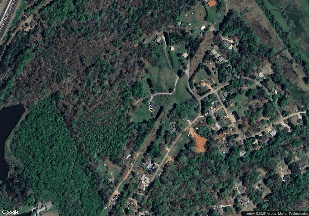
Map
Nearby Homes
- 4444 State Highway 365
- 0 Furniture Dr Unit 7545752
- 0 Furniture Dr Unit 10484163
- 2778 J Warren Rd
- 221 Mcallister Rd
- 159 Hardyville Cir
- 1616 Lawrence St
- 1576 Chase Rd
- 114 Springbrook Dr
- 16.8AC Camp Creek Rd
- 101 Long St
- 204 Linwood Dr
- 180 Springbrook Dr
- 150 Kentucky Dr Unit A&B
- 1046 Chase Rd
- 623 Maine St
- 274 & 278 N Hazel Ave
- 109 Grove St Unit THE JEFFERSON PLAN
- 240 Sugar Maple Dr
- 114 Sugar Creek Dr
- 485 Locke Rd
- 505 Locke Rd
- 503 Locke Rd
- 403 Locke Rd
- 415 Locke Rd
- 125 Camp Creek Cir
- 501 Camp Creek Cir
- 163 Camp Creek Cir
- 359 Locke Rd
- 420 Locke Rd
- 507 Locke Rd
- 345 Locke Rd
- 457 Camp Creek Cir
- 509 Locke Rd
- 463 Camp Creek Cir
- 331 Locke Rd
- 490 Camp Creek Cir
- 427 Camp Creek Cir
- 196 Camp Creek Cir
- 310 Locke Rd
Your Personal Tour Guide
Ask me questions while you tour the home.