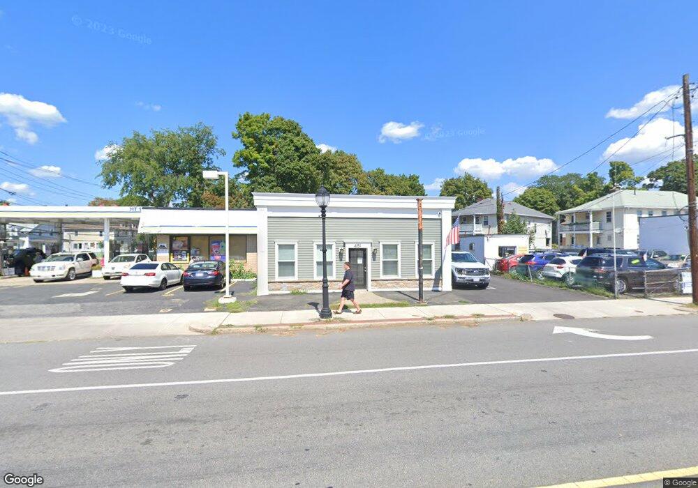
481 Main St Waltham, MA 02452
Bentley College NeighborhoodEstimated Value: $1,300,433
--
Bed
1
Bath
1,100
Sq Ft
$1,182/Sq Ft
Est. Value
About This Home
This home is located at 481 Main St, Waltham, MA 02452 and is currently estimated at $1,300,433, approximately $1,182 per square foot. 481 Main St is a home located in Middlesex County with nearby schools including Northeast Elementary School, John W. Mcdevitt Middle School, and Waltham Sr High School.
Ownership History
Date
Name
Owned For
Owner Type
Purchase Details
Closed on
Sep 9, 2021
Sold by
Nutile Properties Llc
Bought by
481 Main Street Llc
Current Estimated Value
Purchase Details
Closed on
Dec 18, 2015
Sold by
Marcoux Gary B
Bought by
Marcoux Family Llc
Home Financials for this Owner
Home Financials are based on the most recent Mortgage that was taken out on this home.
Original Mortgage
$150,000
Interest Rate
3.89%
Mortgage Type
Commercial
Purchase Details
Closed on
Oct 9, 1985
Bought by
Marcoux Rose G and Marcoux Gary B
Create a Home Valuation Report for This Property
The Home Valuation Report is an in-depth analysis detailing your home's value as well as a comparison with similar homes in the area
Home Values in the Area
Average Home Value in this Area
Purchase History
| Date | Buyer | Sale Price | Title Company |
|---|---|---|---|
| 481 Main Street Llc | -- | None Available | |
| Marcoux Family Llc | -- | -- | |
| Marcoux Rose G | $90,000 | -- |
Source: Public Records
Mortgage History
| Date | Status | Borrower | Loan Amount |
|---|---|---|---|
| Previous Owner | Marcoux Family Llc | $150,000 |
Source: Public Records
Tax History Compared to Growth
Tax History
| Year | Tax Paid | Tax Assessment Tax Assessment Total Assessment is a certain percentage of the fair market value that is determined by local assessors to be the total taxable value of land and additions on the property. | Land | Improvement |
|---|---|---|---|---|
| 2025 | $13,573 | $645,100 | $408,500 | $236,600 |
| 2024 | $11,952 | $577,100 | $371,300 | $205,800 |
| 2023 | $11,269 | $513,400 | $336,700 | $176,700 |
| 2022 | $8,047 | $351,700 | $307,000 | $44,700 |
| 2021 | $7,896 | $342,100 | $287,200 | $54,900 |
| 2020 | $8,049 | $330,400 | $272,300 | $58,100 |
| 2019 | $7,795 | $294,700 | $247,600 | $47,100 |
| 2018 | $7,790 | $278,500 | $221,300 | $57,200 |
| 2017 | $7,789 | $268,200 | $221,300 | $46,900 |
| 2016 | $7,920 | $268,200 | $221,300 | $46,900 |
| 2015 | $8,195 | $257,800 | $198,000 | $59,800 |
Source: Public Records
Map
Nearby Homes
- 70 School St
- 214 Church St
- 158 Church St
- 160 School St Unit 3-1
- 7-11.5 Felton
- 266-274 River St
- 240 River St
- 28-32 Calvary St
- 220 Grove St Unit 1
- 180 River St Unit 9
- 59 Farnum Rd
- 176 River St
- 55-57 Crescent St
- 61 Hall St Unit 1
- 61 Hall St Unit 9
- 61 Hall St Unit 2
- 61 Hall St Unit 7
- 164 Grove St
- 10 Naviens Ln Unit 2
- 32 Harvard St Unit 2
- 481 Main St Unit 1
- 477 Main St
- 12 Craven Cir Unit 14
- 8 Craven Cir Unit 10
- 13 Lyman St Unit 15
- 17 Craven Cir Unit 19
- 21 Lyman St
- 17 Lyman Terrace Unit 19
- 13-15 Lyman Terrace
- 13 Lyman Terrace Unit 15
- 25 Lyman St
- 9 Lyman Terrace Unit 11
- 11 Lyman Terrace Unit 2r
- 10 Lyman St Unit 3
- 12 Lyman St
- 12 Lyman St Unit B
- 12 Lyman St Unit Lyman St
- 10 Lyman St Unit 2r
- 12 Lyman St
- 12 Lyman St Unit 1