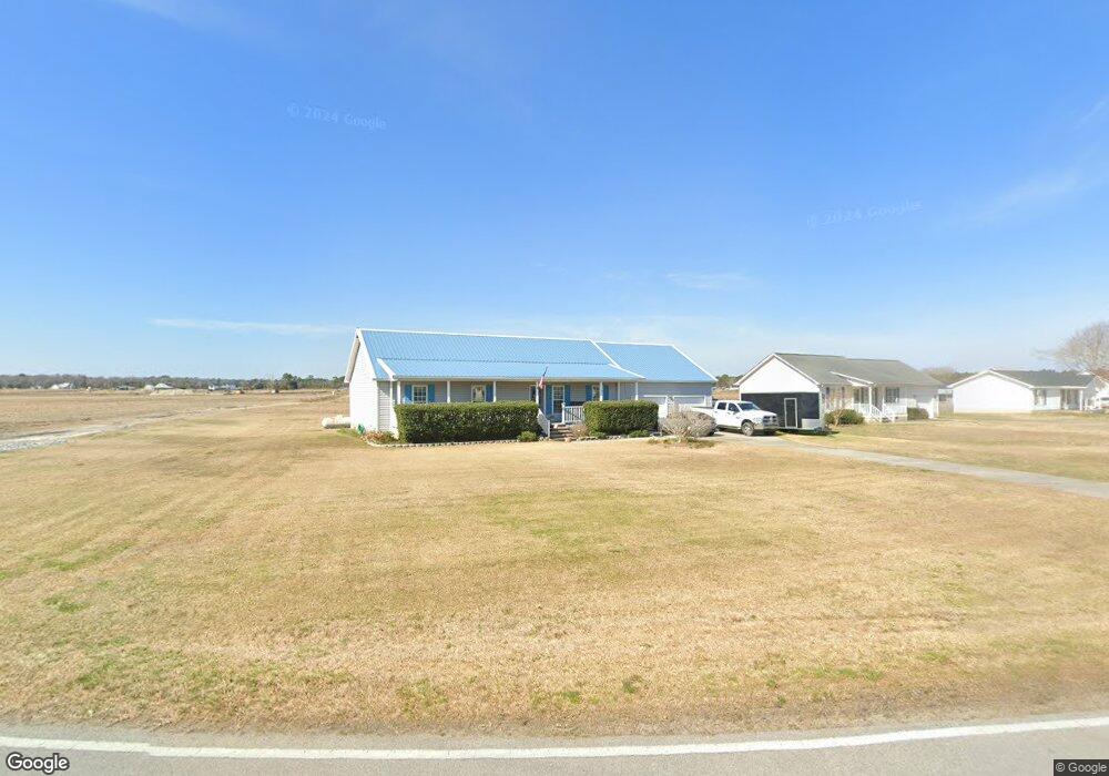
481 Newport Loop Rd Newport, NC 28570
Estimated Value: $299,072 - $331,000
3
Beds
2
Baths
1,580
Sq Ft
$197/Sq Ft
Est. Value
About This Home
This home is located at 481 Newport Loop Rd, Newport, NC 28570 and is currently estimated at $310,768, approximately $196 per square foot. 481 Newport Loop Rd is a home located in Carteret County with nearby schools including Newport Elementary School, Newport Middle School, and West Carteret High School.
Ownership History
Date
Name
Owned For
Owner Type
Purchase Details
Closed on
Oct 30, 2007
Sold by
Brown Matthew N and Brown Cynthia R
Bought by
Brown Matthew N and Brown Cynthia R
Current Estimated Value
Home Financials for this Owner
Home Financials are based on the most recent Mortgage that was taken out on this home.
Original Mortgage
$139,000
Interest Rate
6.37%
Mortgage Type
New Conventional
Create a Home Valuation Report for This Property
The Home Valuation Report is an in-depth analysis detailing your home's value as well as a comparison with similar homes in the area
Home Values in the Area
Average Home Value in this Area
Purchase History
| Date | Buyer | Sale Price | Title Company |
|---|---|---|---|
| Brown Matthew N | -- | First American Title Ins Co |
Source: Public Records
Mortgage History
| Date | Status | Borrower | Loan Amount |
|---|---|---|---|
| Closed | Brown Matthew N | $139,000 |
Source: Public Records
Tax History Compared to Growth
Tax History
| Year | Tax Paid | Tax Assessment Tax Assessment Total Assessment is a certain percentage of the fair market value that is determined by local assessors to be the total taxable value of land and additions on the property. | Land | Improvement |
|---|---|---|---|---|
| 2025 | $1,006 | $320,270 | $61,126 | $259,144 |
| 2024 | $687 | $167,701 | $36,118 | $131,583 |
| 2023 | $736 | $167,701 | $36,118 | $131,583 |
| 2022 | $927 | $167,701 | $36,118 | $131,583 |
| 2021 | $893 | $167,701 | $36,118 | $131,583 |
| 2020 | $901 | $167,701 | $36,118 | $131,583 |
| 2019 | $850 | $167,430 | $30,098 | $137,332 |
| 2017 | $816 | $167,430 | $30,098 | $137,332 |
| 2016 | $816 | $167,430 | $30,098 | $137,332 |
| 2015 | $799 | $167,430 | $30,098 | $137,332 |
| 2014 | $902 | $195,217 | $44,594 | $150,623 |
Source: Public Records
Map
Nearby Homes
- 102 Candace Ct
- 764 Chatham St
- 554 Chatham St
- 757 Chatham St
- 202 Courtyard W
- 730 Chatham St
- 2211 Park Ave
- 690 Chatham St
- 2101 S Lakeview Dr
- 129 Bayberry Rd
- 907 Church St
- 2605 W Forest Dr
- 8202 Highway 70
- 223 Independence Blvd
- 251 Independence Blvd
- 258 Independence Blvd
- 201 Diamond Cove Unit 201
- 262 Independence Blvd
- 100 Treasure Cove
- 422 Howard Blvd
- 483 Newport Loop Rd
- 495 Newport Loop Rd
- 484 Newport Loop Rd
- 490 Newport Loop Rd
- 501 Newport Loop Rd
- 496 Newport Loop Rd
- 502 Newport Loop Rd
- 507 Newport Loop Rd
- 508 Newport Loop Rd
- 478 Newport Loop Rd
- 513 Newport Loop Rd
- 514 Newport Loop Rd
- 523 Newport Loop Rd
- 528 Newport Loop Rd
- 546 Newport Loop Rd
- 552 Newport Loop Rd
- 548 Newport Loop Rd
- 558 Newport Loop Rd
- 582 Newport Loop Rd
- 375 Newport Loop Rd