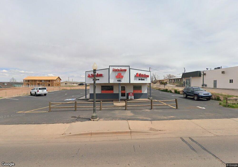
481 S Main St Snowflake, AZ 85937
Studio
--
Bath
1,620
Sq Ft
13,939
Sq Ft Lot
About This Home
This home is located at 481 S Main St, Snowflake, AZ 85937. 481 S Main St is a home located in Navajo County with nearby schools including Snowflake Intermediate School, Highland Primary School, and Snowflake Junior High School.
Ownership History
Date
Name
Owned For
Owner Type
Purchase Details
Closed on
Jul 26, 2013
Sold by
Opheim Dennis Lee and Opheim Jamie Lynn
Bought by
Joseph C Bjornn Insurance & Financial Se
Home Financials for this Owner
Home Financials are based on the most recent Mortgage that was taken out on this home.
Original Mortgage
$140,000
Outstanding Balance
$102,129
Interest Rate
3.92%
Mortgage Type
Commercial
Purchase Details
Closed on
Jul 2, 2008
Sold by
Hooker Mark J
Bought by
Opheim Dennis Lee and Opheim Jamie Lynn
Create a Home Valuation Report for This Property
The Home Valuation Report is an in-depth analysis detailing your home's value as well as a comparison with similar homes in the area
Home Values in the Area
Average Home Value in this Area
Purchase History
| Date | Buyer | Sale Price | Title Company |
|---|---|---|---|
| Joseph C Bjornn Insurance & Financial Se | $125,000 | Lawyers Title Of Arizona Inc | |
| Opheim Dennis Lee | -- | Landamerica Transnation Titl |
Source: Public Records
Mortgage History
| Date | Status | Borrower | Loan Amount |
|---|---|---|---|
| Open | Joseph C Bjornn Insurance & Financial Se | $140,000 |
Source: Public Records
Tax History
| Year | Tax Paid | Tax Assessment Tax Assessment Total Assessment is a certain percentage of the fair market value that is determined by local assessors to be the total taxable value of land and additions on the property. | Land | Improvement |
|---|---|---|---|---|
| 2026 | $1,058 | -- | -- | -- |
| 2025 | $1,064 | $18,335 | $5,018 | $13,317 |
| 2024 | $1,171 | $18,081 | $5,018 | $13,063 |
| 2023 | $1,064 | $15,975 | $5,018 | $10,957 |
| 2022 | $1,171 | $0 | $0 | $0 |
| 2021 | $1,284 | $0 | $0 | $0 |
| 2020 | $1,287 | $0 | $0 | $0 |
| 2019 | $1,262 | $0 | $0 | $0 |
| 2018 | $1,227 | $0 | $0 | $0 |
| 2017 | $1,236 | $0 | $0 | $0 |
| 2016 | $1,347 | $0 | $0 | $0 |
| 2015 | $1,248 | $13,442 | $5,297 | $8,145 |
Source: Public Records
Map
Nearby Homes
- 0 S 1st St W
- 440 W Ponderosa Dr
- 44 S 3rd St W Unit W
- 44 S 3rd St W
- 854 W 2nd South St
- 999 S Highland Dr
- 461 W Center St
- 0 S Main St
- 7545 E Sherwood Ln Unit R
- 7545 E Sherwood Ln
- 1537 S Main St
- 1251 E Snowflake Blvd
- 1033 E Adams St
- 1058 E Adams St
- 1050 E Jefferson St
- 294 First Base Ln
- 1403 Lobo Trail
- 4141 W Juniper Crest Rd
- 4123 W Juniper Crest Rd
- 0 W 19th St S
- 0 E 5 Acres Off of Woodruff Unit 3002465
- 501 S Main St
- 15 E 5th St S
- 41 E 5th St S
- 418 S 1st St E
- 464 S 1st St E
- 492 S 1st St E
- 537 S Main St
- 67 E 4th St S Unit South
- 0 E 4th South St
- 467 S 1st St W
- 78 E 4th St S
- 42 E 4th St S
- 405 S 1st St W
- 358 S 1st St E
- 30 W 6th St S
- 381 S 1st St E
- 460 S 6 1/2 St W
- 309 S Main St
- 524 S 1st St W
Your Personal Tour Guide
Ask me questions while you tour the home.