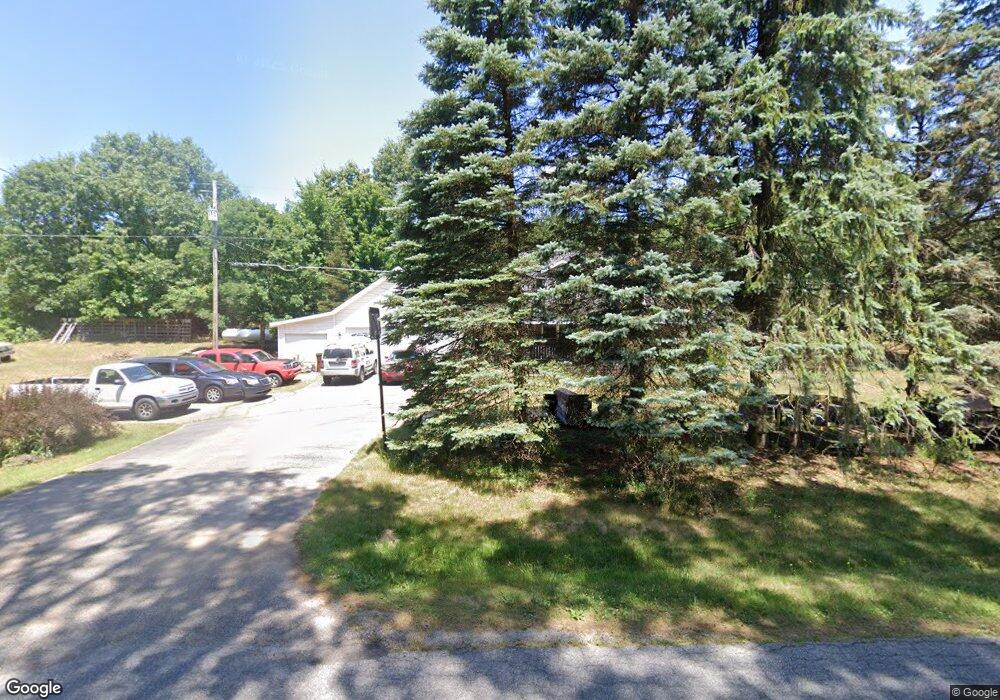
481 Solon Cedar Springs, MI 49319
Estimated Value: $242,000 - $346,000
3
Beds
1
Bath
1,179
Sq Ft
$251/Sq Ft
Est. Value
About This Home
This home is located at 481 Solon, Cedar Springs, MI 49319 and is currently estimated at $295,827, approximately $250 per square foot. 481 Solon is a home located in Kent County with nearby schools including Kent City Elementary School, Kent City Middle School, and Kent City High School.
Ownership History
Date
Name
Owned For
Owner Type
Purchase Details
Closed on
Aug 24, 2015
Sold by
Berry Steven and Berry Marianne
Bought by
Zimmer Keith and Zimmer Valerie
Current Estimated Value
Home Financials for this Owner
Home Financials are based on the most recent Mortgage that was taken out on this home.
Original Mortgage
$138,265
Outstanding Balance
$108,966
Interest Rate
4.09%
Mortgage Type
New Conventional
Estimated Equity
$186,861
Purchase Details
Closed on
Oct 12, 1995
Bought by
Berry Steven J and Berry Marianne
Purchase Details
Closed on
Sep 22, 1989
Bought by
Berry Cronkright>Berry and Berry Marianne
Purchase Details
Closed on
Apr 8, 1980
Bought by
Guarisco>Rodriguez and Berry Marianne
Create a Home Valuation Report for This Property
The Home Valuation Report is an in-depth analysis detailing your home's value as well as a comparison with similar homes in the area
Home Values in the Area
Average Home Value in this Area
Purchase History
| Date | Buyer | Sale Price | Title Company |
|---|---|---|---|
| Zimmer Keith | $135,500 | None Available | |
| Berry Steven J | -- | -- | |
| Berry Cronkright>Berry | $25,000 | -- | |
| Guarisco>Rodriguez | $18,400 | -- |
Source: Public Records
Mortgage History
| Date | Status | Borrower | Loan Amount |
|---|---|---|---|
| Open | Zimmer Keith | $138,265 |
Source: Public Records
Tax History Compared to Growth
Tax History
| Year | Tax Paid | Tax Assessment Tax Assessment Total Assessment is a certain percentage of the fair market value that is determined by local assessors to be the total taxable value of land and additions on the property. | Land | Improvement |
|---|---|---|---|---|
| 2025 | $1,632 | $110,700 | $0 | $0 |
| 2024 | $1,632 | $102,600 | $0 | $0 |
| 2023 | $1,561 | $89,800 | $0 | $0 |
| 2022 | $2,018 | $81,100 | $0 | $0 |
| 2021 | $1,965 | $74,300 | $0 | $0 |
| 2020 | $1,436 | $71,400 | $0 | $0 |
| 2019 | $49,843 | $66,500 | $0 | $0 |
| 2018 | $1,879 | $64,300 | $0 | $0 |
| 2017 | $1,828 | $59,700 | $0 | $0 |
| 2016 | $1,761 | $52,900 | $0 | $0 |
| 2015 | -- | $52,900 | $0 | $0 |
| 2013 | -- | $49,400 | $0 | $0 |
Source: Public Records
Map
Nearby Homes
- 13625 Krauskopf Rd NE
- 15175 Hanna Ave NE
- 490 17 Mile Rd
- 2103 Quarter Horse Dr NE
- 2217 Quarter Horse Dr NE Unit 27
- 1500 Serenity Valley Dr NE
- The Georgetown Plan at Saddlebrook
- The Grayson Plan at Saddlebrook
- The Brinley Plan at Saddlebrook
- The Taylor Plan at Saddlebrook
- The Mayfair Plan at Saddlebrook
- The Balsam Plan at Saddlebrook
- The Wisteria Plan at Saddlebrook
- The Stockton Plan at Saddlebrook
- The Maxwell Plan at Saddlebrook
- The Rowen Plan at Saddlebrook
- The Amber Plan at Saddlebrook
- The Stafford Plan at Saddlebrook
- 14551 Algoma Ave NE
- 2329 Quarter Horse Dr NE Unit 35