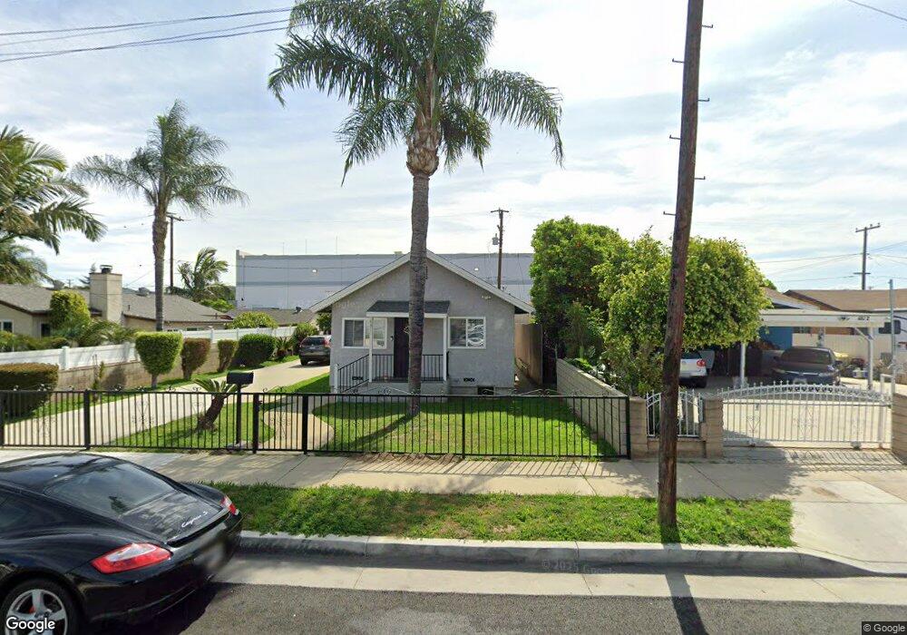
4810 Tobias Ave Pico Rivera, CA 90660
Estimated Value: $588,000 - $722,000
2
Beds
1
Bath
732
Sq Ft
$879/Sq Ft
Est. Value
About This Home
This home is located at 4810 Tobias Ave, Pico Rivera, CA 90660 and is currently estimated at $643,328, approximately $878 per square foot. 4810 Tobias Ave is a home located in Los Angeles County with nearby schools including South Ranchito Dual Language Academy, North Park Middle School, and Ruben Salazar Continuation School.
Ownership History
Date
Name
Owned For
Owner Type
Purchase Details
Closed on
Jan 29, 2019
Sold by
Chavez Gregorio and Chavez Gregorio Silva
Bought by
Gregorio and Gabriela Chavez Fmtr
Current Estimated Value
Purchase Details
Closed on
Feb 10, 1994
Sold by
Morales Jose and Morales Eva
Bought by
Chavez Gregory S
Home Financials for this Owner
Home Financials are based on the most recent Mortgage that was taken out on this home.
Original Mortgage
$78,400
Interest Rate
6.98%
Create a Home Valuation Report for This Property
The Home Valuation Report is an in-depth analysis detailing your home's value as well as a comparison with similar homes in the area
Home Values in the Area
Average Home Value in this Area
Purchase History
| Date | Buyer | Sale Price | Title Company |
|---|---|---|---|
| Gregorio | -- | None Available | |
| Chavez Gregoria S | -- | None Available | |
| Chavez Gregory S | -- | South Coast Title |
Source: Public Records
Mortgage History
| Date | Status | Borrower | Loan Amount |
|---|---|---|---|
| Closed | Chavez Gregory S | $78,400 |
Source: Public Records
Tax History Compared to Growth
Tax History
| Year | Tax Paid | Tax Assessment Tax Assessment Total Assessment is a certain percentage of the fair market value that is determined by local assessors to be the total taxable value of land and additions on the property. | Land | Improvement |
|---|---|---|---|---|
| 2025 | $3,185 | $190,333 | $152,277 | $38,056 |
| 2024 | $3,185 | $186,602 | $149,292 | $37,310 |
| 2023 | $3,101 | $182,944 | $146,365 | $36,579 |
| 2022 | $2,966 | $179,358 | $143,496 | $35,862 |
| 2021 | $2,869 | $175,842 | $140,683 | $35,159 |
| 2020 | $2,893 | $174,040 | $139,241 | $34,799 |
| 2019 | $2,841 | $170,628 | $136,511 | $34,117 |
| 2018 | $2,652 | $167,284 | $133,835 | $33,449 |
| 2016 | $2,410 | $160,790 | $128,639 | $32,151 |
| 2015 | $2,375 | $158,376 | $126,707 | $31,669 |
| 2014 | $2,352 | $155,274 | $124,225 | $31,049 |
Source: Public Records
Map
Nearby Homes
- Plan 1560 at Azul
- Plan 1680 at Azul
- Plan 1706 Modeled at Azul
- 9328 Via Azul
- 9335 Via Azul
- 9326 Via Azul
- 9339 Via Azul
- 9324 Via Azul
- 9331 Via Azul
- 4947 Tobias Ave
- 5729 Juarez Ave
- 9530 Underwood St
- 5577 Pioneer Blvd Unit 5
- 4918 Rosemead Blvd
- 5101 Lindsey Ave
- 5523 Pioneer Blvd Unit 30
- 4707 Rosemead Blvd
- 9409 Loch Avon Dr
- 5328 Lemoran Ave
- 9900 Tagus St Unit 30
- 4808 Tobias Ave
- 4812 Tobias Ave
- 4804 Tobias Ave
- 4820 Tobias Ave
- 4800 Tobias Ave
- 9450 Stephens St
- 4819 Tobias Ave
- 9520 Stephens St
- 4825 Tobias Ave
- 4830 Tobias Ave
- 4827 Tobias Ave
- 9455 Stephens St
- 4834 Tobias Ave
- 9449 Stephens St
- 9505 Stephens St
- 9428 Stephens St
- 9528 Stephens St
- 9509 Stephens St
- 9443 Stephens St
- 4835 Tobias Ave