4811 Dellwood Rd South Haven, MN 55382
Estimated Value: $422,000 - $526,043
3
Beds
2
Baths
1,716
Sq Ft
$275/Sq Ft
Est. Value
About This Home
This home is located at 4811 Dellwood Rd, South Haven, MN 55382 and is currently estimated at $472,011, approximately $275 per square foot. 4811 Dellwood Rd is a home with nearby schools including Kimball Elementary School and Kimball High School.
Ownership History
Date
Name
Owned For
Owner Type
Purchase Details
Closed on
Nov 30, 2010
Sold by
Reisinger John P and Reisinger Dawn M
Bought by
Reberg Matthew J and Reberg Julie A
Current Estimated Value
Purchase Details
Closed on
Dec 15, 1994
Sold by
Zabee Mark
Bought by
Reisinger John
Purchase Details
Closed on
Jun 21, 1993
Sold by
Zabee Mark
Bought by
Reisenger John
Create a Home Valuation Report for This Property
The Home Valuation Report is an in-depth analysis detailing your home's value as well as a comparison with similar homes in the area
Home Values in the Area
Average Home Value in this Area
Purchase History
| Date | Buyer | Sale Price | Title Company |
|---|---|---|---|
| Reberg Matthew J | $233,000 | -- | |
| Reisinger John | $16,000 | -- | |
| Reisenger John | $16,000 | -- |
Source: Public Records
Tax History Compared to Growth
Tax History
| Year | Tax Paid | Tax Assessment Tax Assessment Total Assessment is a certain percentage of the fair market value that is determined by local assessors to be the total taxable value of land and additions on the property. | Land | Improvement |
|---|---|---|---|---|
| 2025 | $3,786 | $443,700 | $185,000 | $258,700 |
| 2024 | $3,786 | $448,500 | $179,700 | $268,800 |
| 2023 | $3,790 | $432,000 | $172,700 | $259,300 |
| 2022 | $3,428 | $343,100 | $143,200 | $199,900 |
| 2021 | $3,414 | $343,100 | $143,200 | $199,900 |
| 2020 | $2,670 | $323,900 | $141,100 | $182,800 |
| 2019 | $2,664 | $271,900 | $179,600 | $92,300 |
| 2018 | $2,604 | $249,400 | $168,400 | $81,000 |
| 2017 | $2,744 | $231,300 | $159,400 | $71,900 |
| 2016 | $2,644 | $0 | $0 | $0 |
| 2015 | $2,572 | $0 | $0 | $0 |
| 2014 | -- | $0 | $0 | $0 |
Source: Public Records
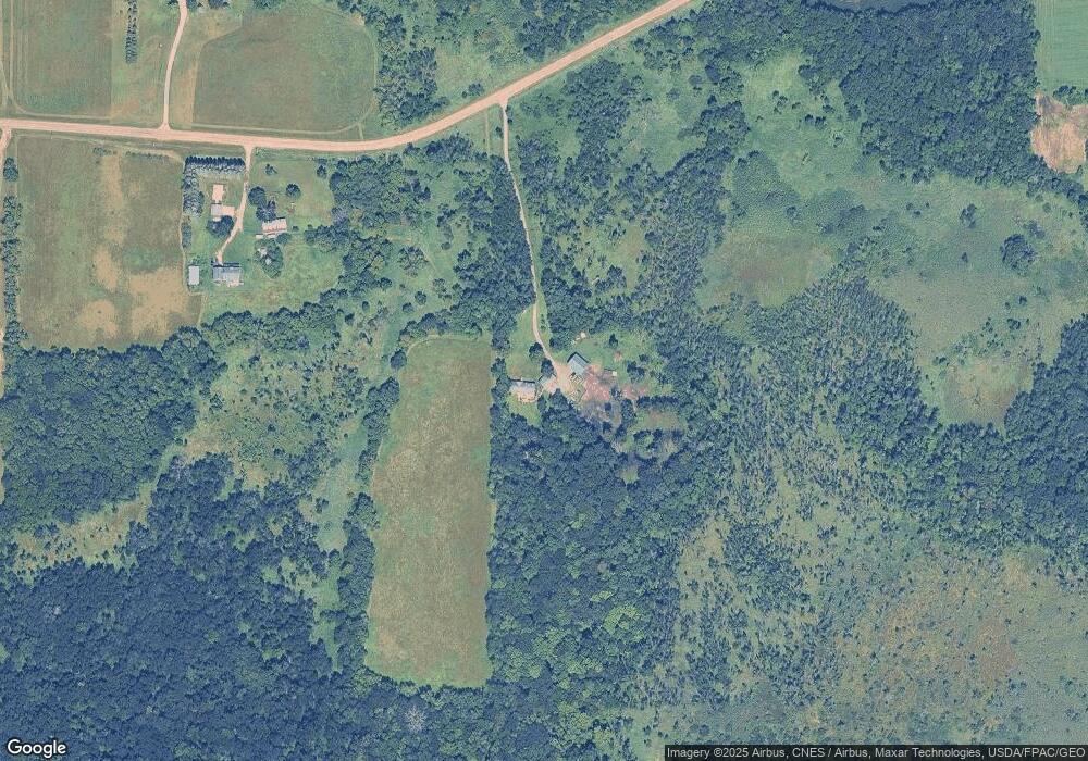
Map
Nearby Homes
- 3021 181st St
- 17910 27th Ave
- 17963 27th Ave
- XXXXXXX (Parcel C) 170th St
- XXXXX (Parcel B) 170th St
- XXXX (Parcel A) 170th St
- South Tract A TBD County Road 45
- North Tract B TBD County Road 45
- 2184 170th St
- XXX Deerwood Rd
- 16307 78th Ave
- 14XXX County Road 44
- 20658 State Highway 15
- 10848 Porter Ave NW
- 18503 Dairywood Rd
- 16698 109th St NW
- 13496 Campfire Cir
- 2060 Clearwater Forest Dr
- 10368 Oliver Ave NW
- 20801 13th Ave
- 4811 Dellwood Rd
- 4931 Dellwood Rd
- 4950 Dellwood Rd
- 4597 Dellwood Rd
- 4646 Dellwood Rd
- 5249 Dellwood Rd
- 4362 169th St
- xxx County Road 7
- 4325 169th St
- 5202 Dellwood Rd
- 16900 County 7 Rd
- 16795 County Road 7
- 4223 170th St
- 17472 County Road 7
- 17068 County Road 7
- 17673 County Road 7
- 16661 County Road 7
- 16527 County Road 7
- 5596 Dellwood Rd
- XXX County Rd 7