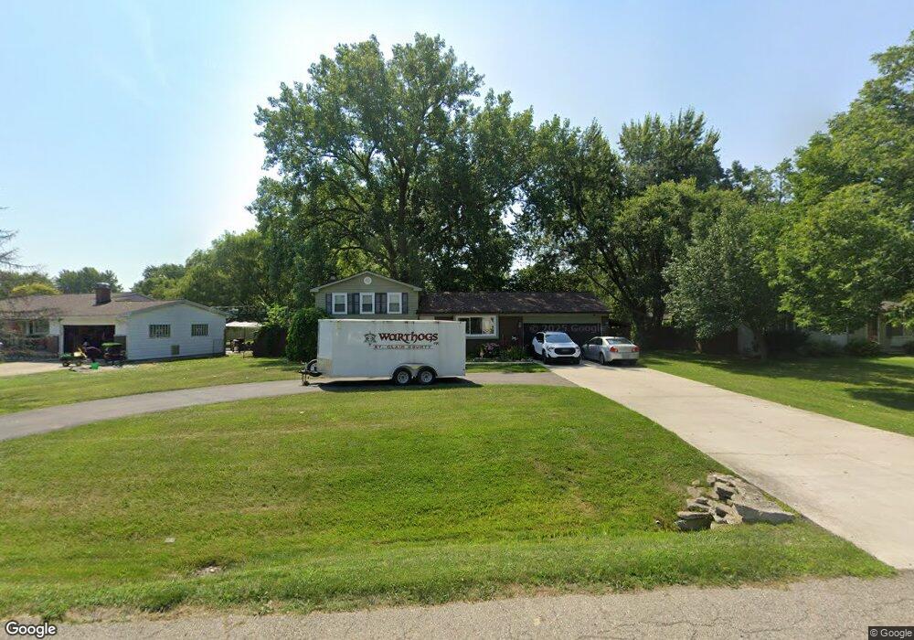
48118 Pheasant St Chesterfield, MI 48047
Estimated Value: $287,000 - $320,000
--
Bed
2
Baths
1,540
Sq Ft
$197/Sq Ft
Est. Value
About This Home
This home is located at 48118 Pheasant St, Chesterfield, MI 48047 and is currently estimated at $303,089, approximately $196 per square foot. 48118 Pheasant St is a home located in Macomb County with nearby schools including Dean A. Naldrett School, Anchor Bay Middle School South, and Anchor Bay High School.
Ownership History
Date
Name
Owned For
Owner Type
Purchase Details
Closed on
Jan 11, 2017
Sold by
Massey Kristie R and Arrington Kristie R
Bought by
Arrington Kristie R and Arrington William R
Current Estimated Value
Purchase Details
Closed on
Oct 21, 2010
Sold by
Massey Thomas W
Bought by
Massey Kristie R
Purchase Details
Closed on
Feb 2, 2001
Sold by
Theisen Paul G
Bought by
Massey Thomas W
Purchase Details
Closed on
Feb 23, 1995
Sold by
Roderick L Tumath
Bought by
Theisen Paul G and Theisen Mary M
Home Financials for this Owner
Home Financials are based on the most recent Mortgage that was taken out on this home.
Original Mortgage
$95,950
Interest Rate
9.21%
Create a Home Valuation Report for This Property
The Home Valuation Report is an in-depth analysis detailing your home's value as well as a comparison with similar homes in the area
Home Values in the Area
Average Home Value in this Area
Purchase History
| Date | Buyer | Sale Price | Title Company |
|---|---|---|---|
| Arrington Kristie R | -- | None Available | |
| Massey Kristie R | -- | None Available | |
| Massey Thomas W | $164,000 | -- | |
| Theisen Paul G | $112,980 | -- |
Source: Public Records
Mortgage History
| Date | Status | Borrower | Loan Amount |
|---|---|---|---|
| Previous Owner | Theisen Paul G | $95,950 | |
| Closed | Massey Thomas W | -- |
Source: Public Records
Tax History Compared to Growth
Tax History
| Year | Tax Paid | Tax Assessment Tax Assessment Total Assessment is a certain percentage of the fair market value that is determined by local assessors to be the total taxable value of land and additions on the property. | Land | Improvement |
|---|---|---|---|---|
| 2025 | $2,765 | $131,700 | $0 | $0 |
| 2024 | $1,592 | $129,700 | $0 | $0 |
| 2023 | $1,509 | $115,300 | $0 | $0 |
| 2022 | $2,502 | $108,200 | $0 | $0 |
| 2021 | $2,433 | $105,500 | $0 | $0 |
| 2020 | $1,387 | $97,000 | $0 | $0 |
| 2019 | $2,250 | $93,000 | $0 | $0 |
| 2018 | $2,206 | $92,600 | $18,400 | $74,200 |
| 2017 | $2,161 | $86,650 | $18,400 | $68,250 |
| 2016 | $2,156 | $86,650 | $0 | $0 |
| 2015 | $1,002 | $77,000 | $0 | $0 |
| 2014 | $1,002 | $63,900 | $15,550 | $48,350 |
| 2012 | -- | $0 | $0 | $0 |
Source: Public Records
Map
Nearby Homes
- 47978 Jefferson Ave
- 48093 Forbes St
- 47900 Jefferson Ave
- 47812 Forbes Dr
- 47935 Remington Ct
- 47685 Jefferson Ave
- 48041 Sugarbush Rd
- 48526 Jefferson Ave
- 29705 Alexandra Ln Unit 13
- 48556 Harbor Dr
- 48530 Sugarbush Rd Unit 45
- 48590 Harbor Dr
- 29213 Rachid Ln
- 50426 Jim Dr
- 29371 Bayside Cir N
- 48765 Callens Rd
- 50013 S Jimmy Ct
- 49039 Jefferson Ave
- 47460 Sugarbush Rd
- 48855 Salt River Dr
- 48106 Pheasant St
- 48132 Pheasant St
- 48096 Pheasant St
- 48146 Pheasant St Unit visit williamsauctio
- 48146 Pheasant St
- 48146 Pheasant St Unit visit williamsaucti
- 48084 Pheasant St
- 48160 Pheasant St
- 48111 Pheasant St
- 48121 Pheasant St
- 48103 Pheasant St
- 48070 Pheasant St
- 48131 Pheasant St
- 48093 Pheasant St
- 48083 Pheasant St
- 48091 Book Ct
- 48101 Book Ct
- 48056 Pheasant St
- 48182 Pheasant St
- 48149 Pheasant St