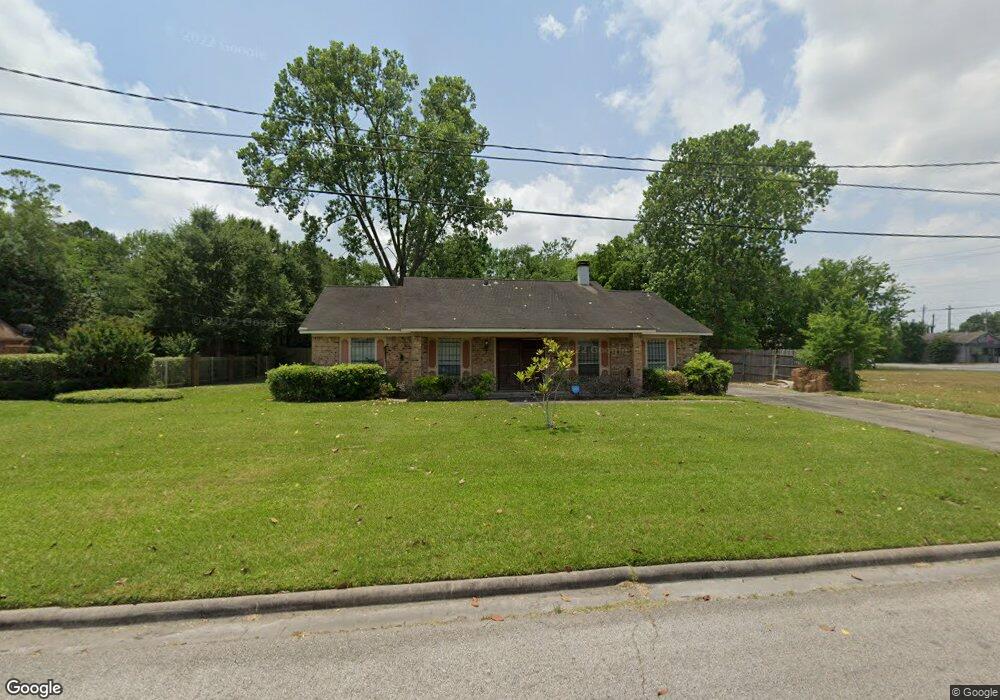
4812 White Rock St Houston, TX 77033
Sunnyside NeighborhoodEstimated Value: $208,000 - $288,000
3
Beds
2
Baths
1,763
Sq Ft
$141/Sq Ft
Est. Value
About This Home
This home is located at 4812 White Rock St, Houston, TX 77033 and is currently estimated at $247,936, approximately $140 per square foot. 4812 White Rock St is a home located in Harris County with nearby schools including Bastian Elementary School, Attucks Middle School, and Worthing High School.
Ownership History
Date
Name
Owned For
Owner Type
Purchase Details
Closed on
Dec 6, 2002
Sold by
Marshall Perry Henry
Bought by
Marshall Caryle R
Current Estimated Value
Home Financials for this Owner
Home Financials are based on the most recent Mortgage that was taken out on this home.
Original Mortgage
$74,400
Interest Rate
6.05%
Mortgage Type
Credit Line Revolving
Create a Home Valuation Report for This Property
The Home Valuation Report is an in-depth analysis detailing your home's value as well as a comparison with similar homes in the area
Home Values in the Area
Average Home Value in this Area
Purchase History
| Date | Buyer | Sale Price | Title Company |
|---|---|---|---|
| Marshall Caryle R | -- | First American Title |
Source: Public Records
Mortgage History
| Date | Status | Borrower | Loan Amount |
|---|---|---|---|
| Closed | Marshall Caryle R | $74,400 |
Source: Public Records
Tax History Compared to Growth
Tax History
| Year | Tax Paid | Tax Assessment Tax Assessment Total Assessment is a certain percentage of the fair market value that is determined by local assessors to be the total taxable value of land and additions on the property. | Land | Improvement |
|---|---|---|---|---|
| 2025 | $2,811 | $181,268 | $82,500 | $98,768 |
| 2024 | $2,811 | $181,268 | $82,500 | $98,768 |
| 2023 | $2,811 | $200,125 | $82,500 | $117,625 |
| 2022 | $2,793 | $165,900 | $66,000 | $99,900 |
| 2021 | $2,688 | $143,101 | $35,063 | $108,038 |
| 2020 | $2,539 | $143,101 | $35,063 | $108,038 |
| 2019 | $2,412 | $99,671 | $20,625 | $79,046 |
| 2018 | $208 | $86,758 | $8,250 | $78,508 |
| 2017 | $1,992 | $86,758 | $8,250 | $78,508 |
| 2016 | $1,811 | $71,602 | $8,250 | $63,352 |
| 2015 | -- | $71,602 | $8,250 | $63,352 |
| 2014 | -- | $80,501 | $8,250 | $72,251 |
Source: Public Records
Map
Nearby Homes
- 8201 Calhoun Rd Unit A/B
- 8107 Calhoun Rd
- 4638 Sunflower St Unit 9
- 4741 Bricker St
- 4608 White Rock St
- 4843 Bricker St
- 4607 Bricker St
- 4614 Redbud St
- 4548 Briscoe St
- 7905 Rock Rose St
- 8533 Amadwe St Unit A/B
- 4830 Teton St
- 4545 Bricker St
- 4718 Teton St
- 8521 Dosia St
- 4555 Newberry St
- 4523 Sunflower St
- 4930 Teton St
- 8505 Rubin St
- 4911 Edfield St
- 4817 Sunflower St
- 4813 Sunflower St
- 4816 White Rock St
- 8211 Calhoun Rd
- 4807 White Rock St
- 4811 White Rock St
- 4817 White Rock St
- 8203 Cullen
- 8205 Cullen Blvd
- 4810 Briscoe St
- 4818 Briscoe St
- 4835 Sunflower St
- 4836 White Rock St
- 4820 Briscoe St
- 4830 Briscoe St
- 8107 Calhoun Rd Unit B
- 8107 Calhoun Rd Unit A
- 4746 Briscoe St
- 8333 Colonial Ln
- 4836 Briscoe St