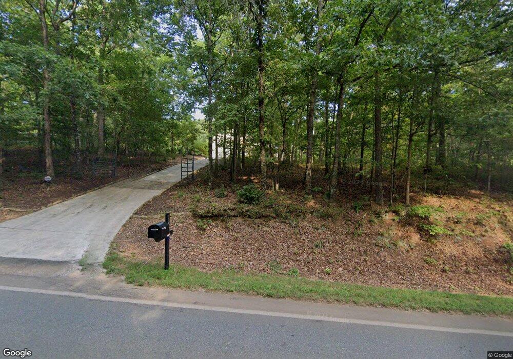
4814 Steve Tate Hwy Marble Hill, GA 30148
Dawson County NeighborhoodEstimated Value: $908,000 - $1,159,517
3
Beds
3
Baths
2,473
Sq Ft
$407/Sq Ft
Est. Value
About This Home
This home is located at 4814 Steve Tate Hwy, Marble Hill, GA 30148 and is currently estimated at $1,006,506, approximately $406 per square foot. 4814 Steve Tate Hwy is a home located in Dawson County with nearby schools including Robinson Elementary School, Dawson County Junior High School, and Dawson County Middle School.
Ownership History
Date
Name
Owned For
Owner Type
Purchase Details
Closed on
Jun 10, 1999
Sold by
Mccurdy O Thomas
Bought by
Blackstock Roger Dou
Current Estimated Value
Purchase Details
Closed on
Oct 23, 1995
Sold by
Johnston Alma M
Bought by
Mccurdy O Thomas
Purchase Details
Closed on
Dec 9, 1993
Sold by
Johnston Richard C
Bought by
Johnston Alma M
Purchase Details
Closed on
May 15, 1991
Sold by
Jim Youn Pension and Jim P
Bought by
Johnston Richard C
Purchase Details
Closed on
Jan 19, 1990
Sold by
Buckelew Barry & Bar
Bought by
Jim Youn Pension and Jim P
Create a Home Valuation Report for This Property
The Home Valuation Report is an in-depth analysis detailing your home's value as well as a comparison with similar homes in the area
Home Values in the Area
Average Home Value in this Area
Purchase History
| Date | Buyer | Sale Price | Title Company |
|---|---|---|---|
| Blackstock Roger Dou | $98,200 | -- | |
| Mccurdy O Thomas | $57,000 | -- | |
| Johnston Alma M | -- | -- | |
| Johnston Richard C | $47,400 | -- | |
| Jim Youn Pension | -- | -- |
Source: Public Records
Tax History Compared to Growth
Tax History
| Year | Tax Paid | Tax Assessment Tax Assessment Total Assessment is a certain percentage of the fair market value that is determined by local assessors to be the total taxable value of land and additions on the property. | Land | Improvement |
|---|---|---|---|---|
| 2024 | $938 | $396,320 | $162,120 | $234,200 |
| 2023 | $938 | $354,800 | $121,360 | $233,440 |
| 2022 | $799 | $240,720 | $59,800 | $180,920 |
| 2021 | $675 | $218,800 | $59,800 | $159,000 |
| 2020 | $661 | $196,600 | $40,760 | $155,840 |
| 2019 | $1,193 | $189,960 | $40,760 | $149,200 |
| 2018 | $1,194 | $189,960 | $40,760 | $149,200 |
| 2017 | $818 | $164,896 | $33,800 | $131,096 |
| 2016 | $771 | $159,345 | $33,800 | $125,545 |
| 2015 | $1,136 | $157,822 | $32,277 | $125,545 |
| 2014 | $275 | $122,724 | $32,277 | $90,447 |
| 2013 | -- | $110,730 | $32,277 | $78,453 |
Source: Public Records
Map
Nearby Homes
- 199 Wood Poppy View
- 331 Bluestern Dr SE
- 930 Cantrell Rd
- 19 Cherokee Dr
- 0 Steve Tate Hwy Unit 24631406
- 3285 Wood Poppy Dr
- 160 Bluestern Dr
- 285 Bear Creek Dr
- 39 Bear Creek Dr
- 495 Bear Creek Dr
- 46 Bee Balm Way
- 3356 Bee Balm Way
- 838 Wildcat Trail
- 98 Bobcat Ridge Dr
- 121 Sunuwa Way
- 171 Yanoo Trace
- 14 Yanegwa Path
- 146 Cantrell Rd
- 220 Yanegwa Knoll
- 00 Afton Rd
- 3826 Afton Rd
- 4920 Steve Tate Hwy
- 4920 Steve Tate Hwy
- 0 Steve Tate Hwy Unit 136618
- 0 Steve Tate Hwy Unit 8819096
- 0 Steve Tate Hwy Unit 8255092
- 0 Steve Tate Hwy Unit 8554407
- 0 Steve Tate Hwy Unit 8544828
- 0 Steve Tate Hwy Unit 8488643
- 0 Steve Tate Hwy Unit 3133955
- 0 Steve Tate Hwy Unit 8397329
- 0 Steve Tate Hwy Unit 8251254
- 0 Steve Tate Hwy
- 4940 Steve Tate Hwy
- 492 Bluestern Dr SE
- 95 Hyssop Ct
- 3976 Afton Rd
- 303 Red Trillium Ridge
- 501 Bluestern Dr SE
- 328 Red Trillium Ridge